Hi, what do you want to do?
University of Calgary
University of Calgary: The Caribbean: First Contact
This site details the initial contact of the European colonizers with the Caribbean islands. The site explains how the Caribbean became colonized and also has maps, quotes, and artwork.
Curated OER
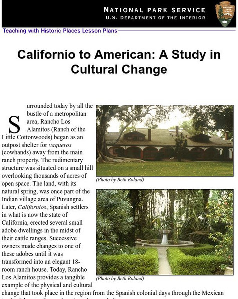
National Park Service: Californio to American: A Study in Cultural Change
This site has a lesson about the ranching industry, creation of California towns and the changes over time. Contains information, inquiry question, historical context, maps, readings, and images.
Other
Universidad De Chile: La America Espanola Colonial
Description of the colonial period in South America during the 16th, 17th, and 18th centuries. Provides information about the governmental structure during the colonial period, the economy, and the problems of the times. Gives some...
PBS
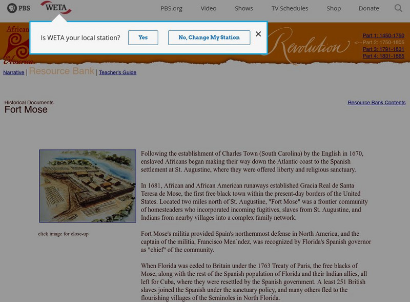
Africans in America: Fort Mose
This website from PBS describes how Fort Mose was established by runaway slaves in Spanish Florida. It also explains what happened to the inhabitants after Spain lost control of Florida.
US National Archives
Nara: American Originals:exploring the Southwest: Don Diego De Vargas
This site from the National Archives and Records Administration, describes the colonization of the United States by the Spanish. Learn about Don Diego de Vargas, read his will, and view a photo of the area he colonized.
Other
University of Georgia: Georgia History
This site has great links to the history of Georgia. Categories of links include: Prehistoric Period, Spanish Georgia, French Georgia, Georgia as an English Colony, American Revolution to the Civil War, Reconstruction to the 20th...
PBS
Pbs: Cet: Africans in America: Arthur Middleton
This lesson describes the rice cultivation on Arthur Middleton's South Carolina plantation and the importance of slaves to this cultivation. It also offers a description of the Middleton Family. Click on Teacher's guide for teaching...
Other
Si Spain: La Perdida De Las Colonias
This resource provides information about Spanish history. In 1889 Spain looses its last colonies, Cuba, Puerto Rico and the Philipines.
National Humanities Center
National Humanities Center: Toolbox Library: Rule, American Beginnings: 1492 1690
Three documents reflecting official views of how to rule and regulate a successful colony in New France, Jamaica, and the Spanish Indies. Includes teacher reasources for framing discussion.
Houghton Mifflin Harcourt
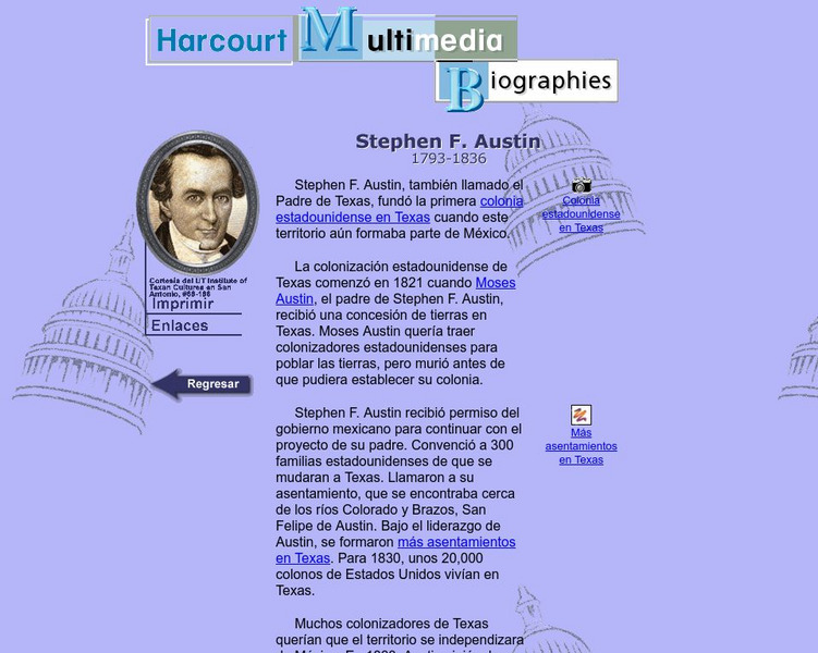
Harcourt: Biographies: Stephen Austin
A good description of the energetic life of this Texas colonizer. Following his father's lead, Austin leads Americans to Texas and works for years at improving the colony and working to pacify the Mexican government as well. (In Spanish)
Annenberg Foundation
Annenberg Learner: America's History in the Making: Colonial Designs [Pdf]
Scroll down through this unit for teacher facilitators to Appendix E and F to find maps of colonial settlement in eastern North America in 1600 and 1660. From Oregon Public Broadcasting.
Internet History Sourcebooks Project
Fordham University: Modern History Sourcebook
A rich Fordham University site of primary source material that include full-text, and multimedia sites. There are additional study and research guides such as Modern History in the Movies.
InterKnowledge Corp.
Geographica.com: Adventure in Argentina
This site from Geographica.com contains information on a variety of parks in Argentina. A description of each follows the name of the park.
Curated OER
Educational Technology Clearinghouse: Maps Etc: Eastern North America, 1812
A map of eastern North America in 1812 subtitled 'The War of Independence and the War of 1812-1814.’ The map is color-coded to show the territories of the original thirteen colonies, the territory to the west that was ceded to the...
Curated OER
Educational Technology Clearinghouse: Maps Etc: Post Wwi Africa, 1918
This map is of Africa after World War I. The scramble by Italy, Belgium, and Germany to create colonies in order to keep up with the British, French, and Spanish Empires was played out in Africa, the last remaining continent yet to be...
Curated OER
Etc: Territorial Development of the United States, 1783 1889
A map from 1889 of North America showing the expansion in the region of the United States from the original Thirteen Colonies at the end of the Revolutionary War in 1783 to the time the map was made, around 1889, before the territories...
Curated OER
Educational Technology Clearinghouse: Maps Etc: Colonial Africa, 1904
A map of Africa shortly after the Berlin Conference of 1885, which established the European colonial territory claims on the continent. These European and independent boundaries include Algeria and the Saharan Sphere of French Influence,...
Curated OER
Etc: Attempts at Huguenot Settlements in Florida, 1562 1565
A map of the southern Atlantic coastline showing the early attempts by the French Huguenots under Jean Ribault to establish settlements in the Spanish territory of Florida. The map shows the sites of Charles Fort (Charlesfort) South...
Curated OER
Etc: Maps Etc: French Posts and Forts in Louisiana and New France, 1754
A map of North America showing the French posts and forts at the beginning of the French and Indian War (1754) between the French and the British. The map is color-coded to show the territorial claims of the British, French, and Spanish...
Curated OER
Educational Technology Clearinghouse: Maps Etc: Africa, 1920
A map of Africa in 1920 showing colonial possessions of the British, French, Italian, Portuguese, Spanish, and Belgians, including the former German colonies, lost after WWI, to French and British control per the Treaty of Versailles.
Curated OER
Educational Technology Clearinghouse: Maps Etc: Post Wwi Africa, 1920
A political map of Africa in 1920 showing colonial possessions of the British, French, Italian, Portuguese, Spanish, and Belgians, including the former German colonies, lost after WWI, per the Treaty of Versailles.
Curated OER
Educational Technology Clearinghouse: Maps Etc: Post Wwi Africa, 1920
A map of Africa in 1920 showing colonial possessions of the British, French, Italian, Portuguese, Spanish, and Belgians, including the former German colonies, lost after WWI, per the Treaty of Versailles. This map shows major cities and...
Curated OER
Educational Technology Clearinghouse: Maps Etc: Northwestern Africa, 1906
Map of Northwestern Africa in 1906 showing the Barbary States of Morocco, Algeria, Tunis, and a portion of Tripoli, the western country of Rio de Oro, and the Upper Guinea States of Gambia, Portuguese Guinea, Sierra Leon, Liberia,...
Curated OER
Etc: Maps Etc: Post Wwi Central and Southern Africa, 1920
A map of central and southern Africa in 1920 showing colonial possessions of the British, French, Italian, Portuguese, Spanish, and Belgians, including the former German colonies, lost after WWI, to French and British control per the...
Other popular searches
- Spanish Colonies in America
- English Colonies Spanish
- Slaves in Spanish Colonies
- The Spanish Colonies


