Hi, what do you want to do?
Other
Mammoth Site Geology
This is the website for The Mammoth Site in Hot Springs, South Dakota. The Mammoth Site boasts the largest concentration of mammoths in the world. You can tour this indoor active dig site and view Ice Age fossils. The site offers a video...
Smithsonian Institution
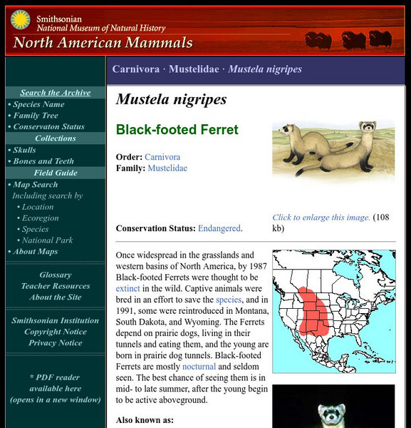
National Museum of Natural History: American Mammals: Black Footed Ferret
Once widespread in the grasslands and western basins of North America, by 1987 Black-footed Ferrets were thought to be extinct in the wild. Captive animals were bred in an effort to save the species, and in 1991, some were reintroduced...
CRW Flags
Flags of the World: Clickable Map of the United States
Includes both printable images and fascinating trivia behind the flag of each state. It includes alternate flags used in the past.
C-SPAN
American Writers: Black Elk
An informational site on Black Elk. Includes general information about his life, works, and writings, including Black Elk Speaks. Also includes links to other sites.
Encyclopedia Britannica
Encyclopedia Britannica: Missouri River
This entry provides a description of the physical features, the location, and the history of the Missouri River.
Other
Cowgirl's Dream: Calamity Jane
Calamity Jane, an enigmatic figure, is described in this statement by Buffalo Bill Cody.
Curated OER
Etc: Territorial Development of the United States, 1783 1889
A map from 1889 of North America showing the expansion in the region of the United States from the original Thirteen Colonies at the end of the Revolutionary War in 1783 to the time the map was made, around 1889, before the territories...
Curated OER
Wikipedia: Natl Historic Landmarks in Ma: Uss Massachusetts (Battleship)
One of two surviving United States Navy South Dakota-class battleships, Massachusetts saw action in World War II, winning 11 battle stars. She is on display at Battleship Cove.
Curated OER
Wikipedia: National Historic Landmarks in Iowa: Blood Run Site
An archaeological site, overlapping into South Dakota.
Curated OER
Wikipedia: National Historic Landmarks in Alabama: Uss Alabama(battleship)
One of two surviving South Dakota-class battleships, Alabama was commissioned in 1942 and spent forty months in active service in World War II's Pacific theater, earning nine battle stars over twenty-six engagements with the Japanese.
Curated OER
Lewis and Clark
From the very beginning and through the twentieth century, this comprehensive colletion lessons will enrich students studying the history in between and the effects on South Dakota.
Curated OER
Science Kids: Science Images: Mount Rushmore
Mount Rushmore National Memorial is a huge granite sculpture that was created to celebrate 150 years of history in the United States of America. The giant sculptures are of (from left to right) George Washington, Thomas Jefferson,...
Cayuse Canyon
The Us50
This clickable map of the United States gives students access to research information from history and tourism to attractions and famous historic figures.
Mocomi & Anibrain Digital Technologies
Mocomi: Mount Rushmore Facts and History
Provides the history of Mount Rushmore with many interesting facts.
Curated OER
Wikipedia: Natl Historic Landmarks in Sd: Minuteman Missile Natl Historic Site
An image of the Minuteman Missile National Historic Site.
Curated OER
Etc: Maps Etc: Comparative Areas of the United States and Other Countries, 1872
A map from 1872 of the United States used to illustrate the comparative area sizes of the states to other countries in the world. The map shows state and territory boundaries at the time (Dakota, Montana, Washington, Idaho, Wyoming,...
Curated OER
Educational Technology Clearinghouse: Maps Etc: Nebraska, 1903
A map from 1903 of Nebraska showing county borders, cities and towns, rivers, and railroads. This map also shows the rock types in the state. "Nebraska, a central State of the American Union, lies between 40 degrees and 43 degrees N....
Curated OER
Etc: The Expanding United States, 1865 1898
A sketch map from 1899 of the western United States showing the present state boundaries (dashed lines) and states proposed between 1865 and 1898 (solid lines), including the states Yellowstone, Wallowa, West Dakota, South Colorado, and...
Other popular searches
- South Dakota History
- South Dakota Acrostic Poem
- South Dakota State Library
- South Dakota Map
- South Dakota Government
- Mining in South Dakota
- Black Hills South Dakota
- Bad Lands South Dakota
- South Dakota Statehood
- South Dakota Quarter Reverse
- Route Maps South Dakota
- Cities in South Dakota


