National Weather Service
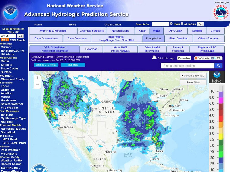
National Weather Service:climate Prediction Center: Daily Precipitation Analysis
Find real-time daily precipitation analysis for the United States, Mexico, and South America as well as accumulated precipitation maps for the past 30 or 90 days.
Curated OER
Etc: Maps Etc: Argentine Republic, Chile, Paraguay, and Uruguay, 1904
A map from 1904 of the Argentine Republic, Chile, Paraguay, and Uruguay. This map shows capital cities, major towns, ports, rivers, terrain, and coastal features. The map shows mean annual temperatures for selected cities, elevations for...
Curated OER
Educational Technology Clearinghouse: Maps Etc: North America, 1915
North America including Canada, the United States, Mexico, Caribbean islands, Central America and a portion of South America, showing physical features.

