Hi, what do you want to do?
Curated OER
President of Guyana
This BBC article provides a brief sketch of Guyana, one of the poorest countries in South America. Presents facts on government, history, culture, leaders, and media.
Curated OER
Flag of Guyana
This BBC article provides a brief sketch of Guyana, one of the poorest countries in South America. Presents facts on government, history, culture, leaders, and media.
Curated OER
Map of Uruguay
The BBC furnishes a country profile on Uruguay featuring an overview, facts, and leadership of this South American country. Links to a timeline of key events and an audio of the national anthem.
Curated OER
Tabare Vazquez
The BBC furnishes a country profile on Uruguay featuring an overview, facts, and leadership of this South American country. Links to a timeline of key events and an audio of the national anthem.
Curated OER
Flag of Uruguay
The BBC furnishes a country profile on Uruguay featuring an overview, facts, and leadership of this South American country. Links to a timeline of key events and an audio of the national anthem.
Curated OER
Map of Bolivia
Provided is a basic profile of the South American country of Bolivia with emphasis on history, culture, its leaders, and its news media. Links to a timeline of key events in history.
Curated OER
Usacmh: Defense of the Americas 7 December 1941 2 September 1945
This brochure from the Army's Center of Military History gives an extensive account of the little-reported on American theater of World War II. Read about the preparations for hemispheric defense, the few breaches of the defense, and the...
The History Cat
The History Cat: Age of Exploration: The Columbian Exchange
A fascinating look at the exchanges that took place around the world after the Americas were discovered. This covered the gamut from diseases which wiped out 90% of the native peoples in North and South America, to farm animals, tools,...
Curated OER
Etc: Maps Etc: Mexico, Central America, and the West Indies, 1898
A map from 1898 of Mexico, Central America and the West Indies. The map includes an inset map of Cuba and the Isthmus of Nicaragua. "The surface of the Rocky Mountain highland in Mexico is quite similar to that of the great plateau...
Quia
Quia: World Capitals Matching
Use this website to practice matching world capitals and the corresponding country.
Quia
Quia: World Capitals Concentration
Use this website to practice matching world capitals and the corresponding country in a concentration game type format.
Curated OER
Etc: Maps Etc: Mexico, Central America and the West Indies, 1852
A map from 1852 of Mexico, Central America, and the West Indies. The map shows territorial boundaries at the time, including the Mexican States, capitals and major cities and ports, railroads, rivers, lakes, mountain systems, and terrain...
Hans Lohninger
Photo Globe: Bolivia
Presents many general country specific facts about Bolivia in a well organized chart form. This site is enriched by links to maps and an image of the Altiplano salt flats.
Other
Map of Guyana
Features a map of Guyana with an easy to understand synopsis of general information on the country.
Other
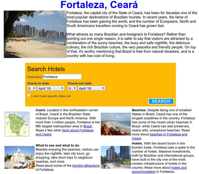
Visit Fortaleza: Fortaleza, Ceara, Brazil
Information on Fortaleza which is the capital city of Ceara, Brazil. It has become one of the top tourist attractions in the country.
ClassFlow
Class Flow: Continents of the World
[Free Registration/Login Required] This flipchart is devoted to identifying, locating, and learning facts about the 7 continents. It contains interactive maps, facts, and a short video at the end.
ClassFlow
Class Flow: Continents
[Free Registration/Login Required] This flipchart identifies the 7 continents of the world and reviews with Activotes.
Other
Kids World Travel Guide: Continent Facts
Provides interesting and fun facts on the continents of the world.


