Scholastic
Scholastic: Our America: Western Expansion
Reviews of children's literature, student activities, and interactive games from Scholastic that enrich a student's understanding and appreciation of western expansion before the Civil War.
US National Archives
Our Documents: Homestead Act (1862)
Original text (and transcription) of the 1862 Homestead Act, which granted land for a five-year residence for minimal fees. Accompanied by an overview of the act, including how it both helped and hindered farmers.
Legends of America
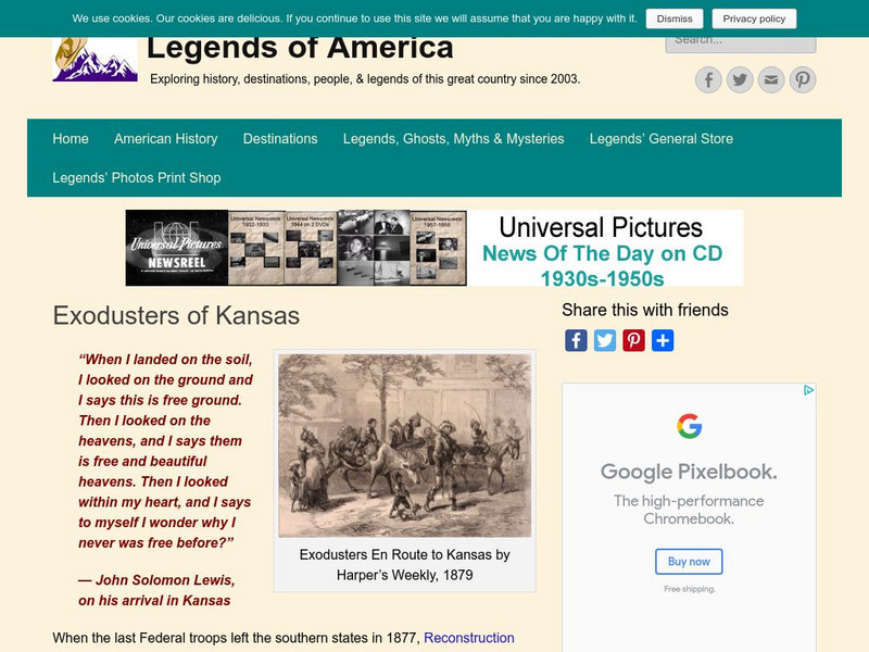
Legends of Kansas: Exodusters of Kansas
A look at the exodusters and the reasons the blacks left the South and migrated to Kansas after the Civil War.
Digital History
Digital History: The u.s. Canadian Border
The border between the United States and Canada in the east and Midwest was still not settled in the 1840s. See what happened that precipitated a final decision.
Curated OER
Educational Technology Clearinghouse: Maps Etc: The United States, 1790
A map of the early United States in 1790 showing the boundary established west to the Mississippi River, and is keyed to show undefined or disputed boundaries, boundaries of States and territories, and boundaries not settled. The map...
Curated OER
National Park Service: Nicodemus National Historic Site
This site from the National Park Service provides the history of Nidodemus, Kansas, first western town planned by and for African-Americans. Settled by exodusters, the town served as a symbol as a land of opportunity for blacks escaping...
Other
Kansas Collection Books: Emigrant Life in Kansas
This site is a textual copy of a book written by an Englishman, Percy G. Ebbutt entitled Emigrant Life in Kansas, published in 1886. The book focuses on a young man's experiences on the prairie in Kansas. Written for an English audience.
Curated OER
Etc: Maps Etc: British Colonies After the French and Indian War, 1764
A map of the eastern portion of North America showing the British, Spanish, and Indian territories after the French and Indian War (1754-1763), with the proclamation line as established by the Treaty of Paris (1763). "The newly acquired...
Utah Education Network
Uen: Heritage Gateways: Food
Click through eighteen pages of information about food and cooking as it was experienced by people traveling by wagon train to Utah, and as they began to settle into homesteads and communities. This site began as part of the 1997...
OpenStax
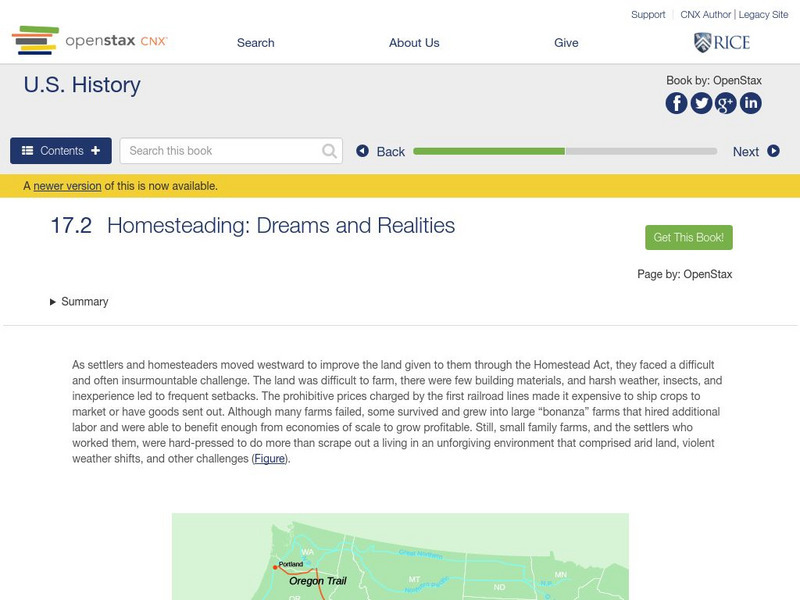
Open Stax: Homesteading: Dreams and Realities
After reading this section from a chapter on "Westward Expansion", students will be able to identify the challenges that farmers faced as they settled west of the Mississippi River and describe the unique experiences of women who...
Yale University
Yale Law School: Proclamation of 1763 by King George Iii
Primary text of the Proclamation of 1763 ordered by King George III. The colonists' main objection was to a reserved area west of the Appalachian Mountains. American colonists were forbidden to settle in this area, and many colonies...
Curated OER
Educational Technology Clearinghouse: Maps Etc: South China, 1971
"South China comprises the drainage basins of the middle and lower Yangtze River, the basin of the His Chiang (West River) in Kwangtung and Kwangsi; and the mountainous coastal provinces of Fukien and Chekiang. The division between the...
Curated OER
Educational Technology Clearinghouse: Maps Etc: Utah, 1898
A map from 1898 of Utah showing the capital at Salt Lake City, principal cities and towns, railroads, mountains, lakes, rivers, and the Great American Desert to the west of Salt Lake. "Settled 1848 at Salt Lake by Mormons from Illinois,...
Curated OER
Educational Technology Clearinghouse: Maps Etc: Treaty With Spain, 1819
A map of the western United States and northern Mexico showing the territorial disputes settled and boundary established by the Adams-Onis Treaty between the United States and Spain in 1819. The territorial disputes involved the natural...
Curated OER
Owen Wister
Three chapters from Owen Wister's fiction, The Virginian, that establish the protagonist as a representative American hero in the newly settled West.
Other popular searches
- Settling the West 1865 1900
- Settling the Western Frontier
- Oregon Settling the West
- Settling the West Canada


