Curated OER
Cartography
Young scholars research about cartography and how to be a cartographer. In this math instructional activity, students draw a map of their classroom. They use a robot to explore navigation using a compass rose.
Curated OER
An American Spy with Money To Spend
Sixth graders use their imagination, math, reading, computer, geography, and social studies skills in this unique, innovative, and fun lesson where students pretend to be international spies!
Curated OER
TE Activity: Nidy-Gridy
Students make a grid and coordinate system map of their classroom as they investigate why it is important to have a common map making system. They look at how landmarks are used for navigating an area.
Curated OER
Gridding a Site
Students make observations of effigy mounds and record them in a notebook. In groups, they must determine the scale of measurement and create their own grid to scale part of the Effigy Mounds National Monument. They also practice using...
Curated OER
Interior of the Earth
Sixth graders identify and describe the composition and physical properties of the layers of the Earth. They also explain how scientists used the scientific process to know about the center of the Earth. Finally, 6th graders read a...
Curated OER
Track Your Trip
Fourth graders are shown how to read a map and identify key cities, landmarks, rivers, state boundaries, and train routes. They solve basic mathematical problems. Students reivew the componets of a map legend. They are asked to find...
Curated OER
Travels Of A Florida Migrant Child
Students discuss the story Amelia's Road by Vickie Leigh Krudwig in this cross-curricular Math instructional activity for the middle-level classroom. Elements of the social sciences are addressed. Cooperative learning groups are...
Curated OER
Where Should You Turn?
Fourth graders complete activities to study decimal numbers. In this decimal numbers lesson, 4th graders study decimal numbers to express numbers less than one and intervals. Students complete map and location activities to study the...
Curated OER
Houses
Third graders use a number of problem solving strategies in this unit of lessons. They determine how to draw and model three-dimensional objects, use co-ordinate systems, determine probability of events, and identify paths of simple...
Curated OER
Landforms
Students study how landforms affect all aspects of a community. Students work in groups to identify landforms from other works of art. In cooperative groups Students select a work of art depicting a particular land form and create a poem.
Curated OER
A Bird's Eye View of our 50 States
Third graders focus on state birds as they learned absolute location (latitude/longitude) of each state, as well as their relative location (bordering states).
Curated OER
Landforms
Students begin their examination of landforms. Using a map, they locate and identify the major landforms on Earth. They discuss how landforms affect the lifestyle of the community and determine which goods and services the community...
Curated OER
The Big Apple
This lesson has various activities that can be done simultaneously in groups or one at a time with the entire class. The activities center around New York and apples.
Curated OER
The Island of The Blue Eagles
Sixth graders read the book CALL IT COURAGE by Armstrong Sperry. They use the Internet to research and work in groups to write ocean chants. They construct dioramas and build a sea turtle withK'NEX.
Curated OER
Poetic Justice: A Study of Poe's Famous Works
Students explore Edgar Allan Poe's most famous short stories. In this Edgar Allan Poe lesson, students complete a 25 page packet of activities where they recognize the features of genres and literary devices Poe uses. Students read "The...
Curated OER
Get Ready for the Great Outdoors!
Students discuss what is a map and what they already know about maps. They brainstorm together to compile a list of responses for the board and observe a map of the United States, including states, capitals, and some of the National Parks.
Curated OER
The Big O
Learners investigate the characteristics of a community. They investigate the characteristics of the Omaha community through internet research and discussion. Students create books about their community.
Curated OER
Weather... Or Not
Students observe and discuss the local weather patterns, researching cloud types and weather patterns for cities on the same latitude on the Internet. They record the data for 6-8 weeks on a graph, and make weather predictions for their...
E-learning for Kids
E Learning for Kids: Math: Market Place: Measurement: Temperatures
On this interactive site students learn to link temperature to everyday life and read informal scales on a thermometer.
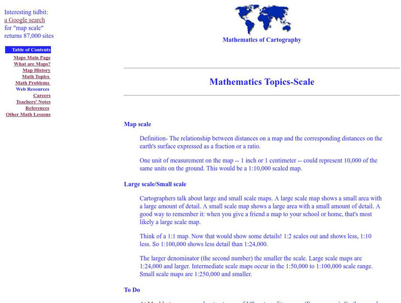
Rice University
Rice University: Cynthia Lanius: Mathematics of Cartography: Scale
Definition of map scale with related cartography links and activity at Mapblast in which students create maps of their own and determine distance and scale.
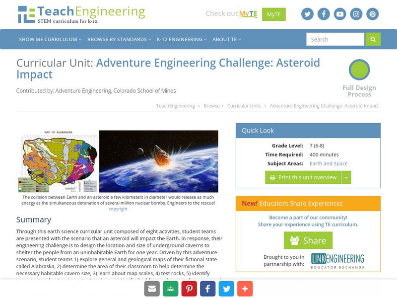
TeachEngineering
Teach Engineering: Asteroid Impact
Asteroid Impact is an 8-10 class long (350-450 min) earth science curricular unit where student teams are posed with the scenario that an asteroid will impact earth. They must design the location and size of underground caverns to save...


