NorthEast Ohio Geoscience Education Outreach
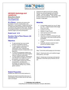
Hydrology and Landforms
Three days of erosion exploration await your elementary geologists. Learners begin by examining rivers via Google Earth, then they model water flow in sand, and finally, they identify resulting landforms. This lesson is written...
Curated OER
Keeping Watch on Coral Reefs
Students investigate the dangers Coral Reefs face by investigating satellite images. In this environmental protection lesson, students utilize the Internet to discover the types of satellites and sensors used to provide oceanographic...
PBS
Coastline Change
Continental drift happens over millions of years, but new perspective shows much faster changes. An informative resource offers a short term perspective using a series of satellite images. Viewers observe major changes to a coastline in...
Curated OER
Science Excursion: Cover Mapping Land
Young scholars study remotely sensed images and topographic maps to classify land cover types in their watershed area. They take samples in the watershed area to interpret the images.
Curated OER
Hold on Tight!
Students explore the close connection between plant roots and the soil in which they grow. They investigate the roots of plants, make models of plant roots using pipe cleaners, and examine photos and images to explore the connection...
Curated OER
Do You Have Change?
Learners analyze data and complete a worksheet about land use change in a coastal region. In this land use lesson, students discuss events that cause land use changes in coastal areas. They construct a change table to summarize data on...
National Wildlife Federation
Quantifying Land Changes Over Time Using Landsat
"Humans have become a geologic agent comparable to erosion and [volcanic] eruptions ..." Paul J. Crutzen, a Nobel Prize-winning atmospheric chemist. Using Landsat imagery, scholars create a grid showing land use type, such as urban,...
Curated OER
Roaming Biomes
Students use the Internet to research the capabilities of earth-observation satellites. Using the information, they write a report on how remote-sensing technology is used to measure the impact of climate change. They identify the...
Curated OER
and and Ocean Views of Earth by Remote Sensing
Students explain how satellites help scientists to see more than with the unaided eye and how Landsat technology works. Students identify vegetation and fire sites in the rainforest and detect erosion along rivers. They are able to use...
Curated OER
You're as Cold as Ice!
Students study the movement of glaciers and how they have affected the Earth. In this geology lesson plan students simulate the effects glaciers have on landscape and watch video segments.
Curated OER
Cherishing the Water of Life
Students work in small groups to brainstorm a list of all creatures, plants, natural, and artificial processes that use or depend on fresh water. The class views an aquarium filled with water representing all the water in the world. The...
Curated OER
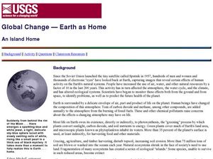
Global Change- Earth as Home
Students create their own environment. In this environmental protection lesson, students pretend they are the owners of a tropical island. They create jobs for the citizens and develop the island as a model environment.
Curated OER
Keeping Watch on Coral Reefs
Students view a tutorial on coral reefs then investigate corals under stress. In this Earth Science lesson plan students prepare a written report and explain the relationship between coral reefs and their zooxanthellae.


