Curated OER
Amelia the Pigeon: As a Pigeon Flies
Students follow Amelia's adventure on a satellite image. They use measuring and math skills to determine the distance she traveled.
Curated OER
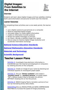
Digital Images: From Satellites To The Internet
Students examine digital images and how satellites orbiting Earth send information and pictures to Earth over the Internet. They use a digital camera to put pictures on a computer and decode a satellite image from space.
Curated OER
The Adventure of Echo the Bat
Learners compare different habitats based on satellite imagery. They identify land features in the satellite imagery.
Curated OER
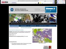
Aruba Cloud Cover Measured by Satellite
Students analyze cloud cover and to compose written conclusions to a given related scenario. They submit a letter of response and a report detailing their calculations and conclusions.
Curated OER
Keeping Watch on Coral Reefs
Students investigate the dangers Coral Reefs face by investigating satellite images. In this environmental protection lesson, students utilize the Internet to discover the types of satellites and sensors used to provide...
Curated OER
NIGHT AND DAY: DAILY CYCLES IN SOLAR RADIATION
Students examine how Earth's rotation causes daily cycles in solar energy using a microset of satellite data to investigate the Earth's daily radiation budget and locating map locations using latitude and longitude coordinates.
Curated OER
Deer Tracks
Students use satellite images to track to movement patterns of deer and examine deer behavior. They write stories about a day in the life of a field scientist.
Curated OER
Two Ways About It
Students take an imaginary hike in two opposite directions along a lake. They view and interpret satellite images and discuss the pros and cons of hydroelectric dams.
Curated OER
Geography: Snow Cover on the Continents
Students create maps of snow cover for each continent by conducting Internet research. After estimating the percentage of continental snow cover, they present their findings in letters, brochures or Powerpoint presentations.
Curated OER
Migration of the Neo-Tropical Songbirds
Fifth graders plot the migration of birds using Google Earth. In this lesson on bird migration, 5th graders work in groups to plot the migration of a group of birds using Google Earth. Students present and discuss their findings and look...
Curated OER
Urban Changes
Students explore how landscapes undergo constant changes with urban development. They plan and build their own "city" by including features that have minimal resource demands to sustain the city itself.
Curated OER
High Mountain Retreat
Students explore and analyze atmospheric conditions for a high mountain retreat. They examine the relationship between altitude, atmospheric pressure, temperature and humidity at a particular location. In addition, they write reports...
Curated OER
Home on the Range
Young scholars use maps and mathematics to determine the appropriate panther population in a given area. In this Florida ecology lesson, students research the area requirements of male and female panther and use a map to help calculate...
Other popular searches
- Infrared Satellite Imagery
- Aerial and Satellite Imagery
- Science Satellite Imagery
- Satellite Imagery Weather Maps


