Association of American Geographers
Project GeoSTART
Investigate the fascinating, yet terrifying phenomenon of hurricanes from the safety of your classroom using this earth science unit. Focusing on developing young scientists' spacial thinking skills, these lessons engage...
Curated OER
You Decide
Fourth graders, who live on a Native American reservation, investigate how land management is addressed at Tribal Council meetings. They participate in a simulation of a meeting as the discover the workings of tribal government. They...
Curated OER
Landscape Diversity in the Yukon Territory
Students review and analyze a satellite image of the Yukon territory.
Curated OER
Geography: Snow Cover on the Continents
Students create maps of snow cover for each continent by conducting Internet research. After estimating the percentage of continental snow cover, they present their findings in letters, brochures or Powerpoint presentations.
Curated OER
Charting Neptune's Realm:
Students explore how to construct and interpret maps and globes and find information about people, places, regions, and environments.
Curated OER
THE GULF STREAM
Students explore how to describe the Gulf Stream, how Benjamin Franklin charted it, and correctly plot it on a map.
Curated OER
The Map Cartouche
Students discuss the history and purpose of cartouches. They examine examples of cartouches and design an original example with symbols of their choosing.
Curated OER
Chart Making for Navigators
Students discuss the importance and function of nautical maps for sailors. They, in groups, take soundings of a simulated bay in a shoebox and develop a nautical chart that enable them to navigate the shoebox safely.
Curated OER
Charting Neptune's Realm: Profiles
Young scholars identify and describe the importance of nautical profiles in early navigation. They draw a profile of a street or mall and explore the effectiveness of different types of directions.
Curated OER
Latitude
Students examine the theory of finding latitude and discuss the uses of an astrolabe, cross-staff and octant. They determine an Astronomical Table for their classroom.
Curated OER
Compass Deviation
Students identify and describe the difference between the magnetic north pole and true north. They consider why sailors could not steer a straight course to the New World from the Old.
Curated OER
RIDING THE WIND
Young scholars locate the Trade Winds, Westerlies and Polar Easterlies on a map, explain the impact of the rotation of the Earth, and plot a route for a round trip voyage from New York to London.
Curated OER
How Can We Locate Specific Places On Earth?
Second graders discover how to use longitude and latitude to locate specific sites on Earth. They compare old and new ways of locating specific places, and discover how latitude and longitude coordinates are used to locate places on Earth.
Curated OER
Sea to Sky
Students investigate the Earth's major landforms and how they occur, and how engineers apply this knowledge for the design of transportation systems, mining, and measuring natural hazards. They listen to a teacher-led lecture, match...
Curated OER
Analysis of Atmospheric Conditions for a High Mountain Retreat
Students examine the relationship between altitude, atmospheric pressure, temperature and humidity at a particular location. They practice science and math in real world applications. They write reports detailing their scientific...
Curated OER
Classroom Conservation of East Asian Culture
Students study East Asian culture. They examine the similarities and differences between East Asian and European history and culture. They produce project presentations to "teach" their classmates about very specific cultural traits...
Curated OER
Natural Hazards
High schoolers evaluate the hazards of naturally occurring events. After watching a video concerning safety hazards, students work in groups to discuss the safety issues involved in taking a trip to a mountainous region. ...
Curated OER
Africa's Geographic Features
Fourth graders work in pairs and use atlases to locate specific geographic features in Africa. They use the Internet to view these geographic features.
Curated OER
Zones of Conflict
Students read maps and identify specific countries involved in conflict. They classify countries in cultural realms. They relate maps to what they know about world conflict.
Other
Zoom Earth: Aerial and Satellite Images
Type in the location you are searching for, and satellite imagery will produce an aerial map for you. Helps students better understand these concepts by providing a visual for them.
Other
Satellite Images Bridge Understanding Gap Between Climate Change and Individuals
This article discusses how Google Earth has brought the reality of climate change to the average person so that they can see it for themselves. The north and south poles are indicators of what is happening with climate change and an...
Science Education Resource Center at Carleton College
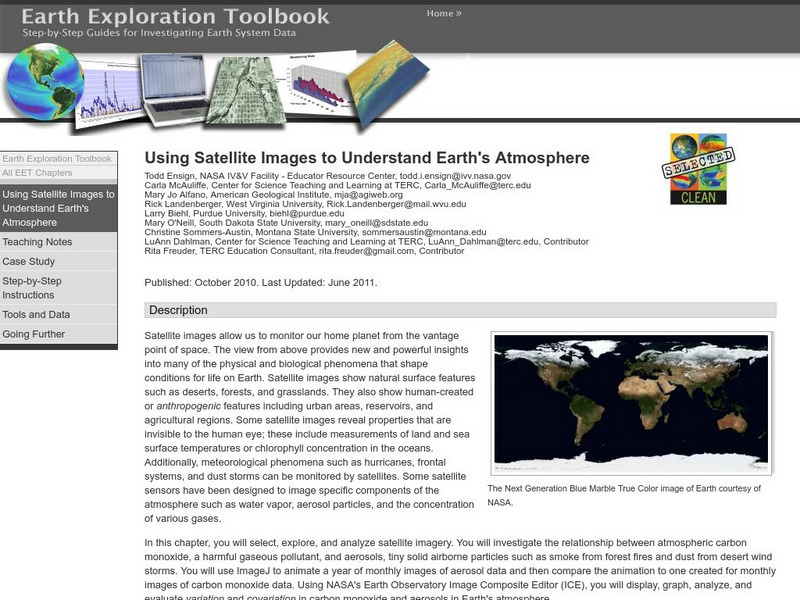
Serc: Using Satellite Images to Understand Earth's Atmosphere
This lesson helps students select, explore, and analyze satellite imagery. Students investigate the relationship between atmospheric carbon monoxide and aerosols. Incorporate ImageJ to animate a year of monthly images of aerosol data and...
Columbia University
Nasa: Sedac: Applications of Satellite Remote Sensing
[Free Registration/Login Required] A collection of twenty-eight data sets from SEDAC (Socioeconomic Data and Applications Center) that examine ways in which remote sensing by satellites gives us useful information about the world....
NASA
Nasa: Earth Observatory
The purpose of NASA's Earth Observatory is to provide new satellite imagery and scientific information about our home planet to the public. The focus is on Earth's climate and environmental change.
Other popular searches
- Infrared Satellite Imagery
- Aerial and Satellite Imagery
- Science Satellite Imagery
- Satellite Imagery Weather Maps

