Other
Zoom Earth: Aerial and Satellite Images
Type in the location you are searching for, and satellite imagery will produce an aerial map for you. Helps students better understand these concepts by providing a visual for them.
Science Education Resource Center at Carleton College
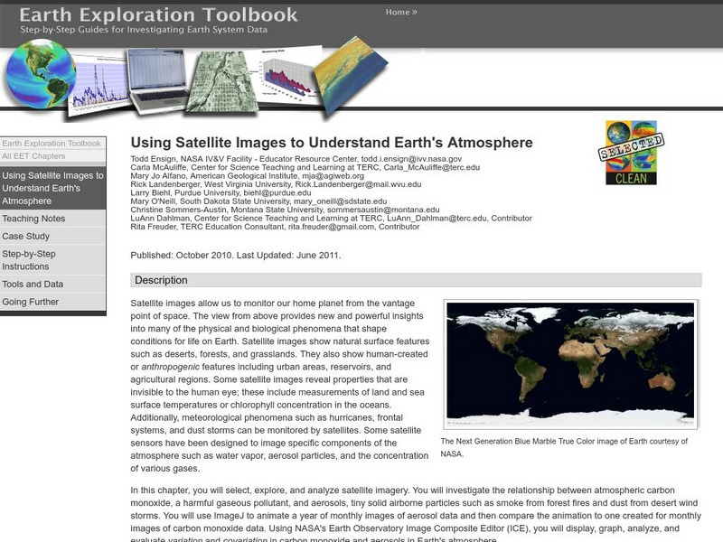
Serc: Using Satellite Images to Understand Earth's Atmosphere
This lesson helps students select, explore, and analyze satellite imagery. Students investigate the relationship between atmospheric carbon monoxide and aerosols. Incorporate ImageJ to animate a year of monthly images of aerosol data and...
Columbia University
Nasa: Sedac: Applications of Satellite Remote Sensing
[Free Registration/Login Required] A collection of twenty-eight data sets from SEDAC (Socioeconomic Data and Applications Center) that examine ways in which remote sensing by satellites gives us useful information about the world....
Science Education Resource Center at Carleton College
Serc: Hurricanes
Nine learning modules for students to study hurricanes using satellite imagery and visualizations, and participate in some hands-on experiments. They'll also explore over 150 years of storm data to find out when and where these storms...
NASA
Nasa: Earth Observatory
The purpose of NASA's Earth Observatory is to provide new satellite imagery and scientific information about our home planet to the public. The focus is on Earth's climate and environmental change.
NOAA
Noaa: Imagery Portal
NOAA View provides access to maps of NOAA data from a variety of satellite, model, and other analysis sources. NOAA View is intended as an education and outreach tool and is not an official source of NOAA data for decision support or...
NOAA
Noaa: Operational Significant Event Imagery
This site contains satellite images from around the world organized by significant events such as dust storms, floods, severe weather, etc. Not very user friendly, but the images are there for those willing to search.
NASA
Nasa: Sea Wi Fs Project: Studying Ocean Color From Space
Five different oceanography topics are addressed by this resource. The first two topics deal with satellite imagery of the oceans and the last three address ecological issues.
Library of Congress
Loc: Earth as Art: A Landsat Perspective
A really cool site showing Satellite (Landsat 7) images of unique geographical and meteorological phenomena. Images show cloud formations to rainforest devastation.
University of Wisconsin
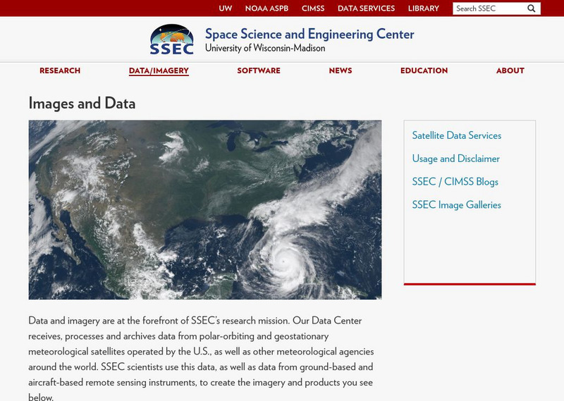
Ssec: Real Time Imagery and Data: Satellite Images of the Earth
Check out real-time satellite photos of the earth to study weather patterns.
Science Education Resource Center at Carleton College
Serc: Investigating the Ocean Algal Blooms
This NOAA computer-based activity is designed to teach students in grades 9-12 how satellite imagery and remote sensing can be used to monitor harmful algal blooms (HABs). This lesson teaches students how to read and interpret satellite...
Other popular searches
- Infrared Satellite Imagery
- Aerial and Satellite Imagery
- Science Satellite Imagery
- Satellite Imagery Weather Maps


