Curated OER
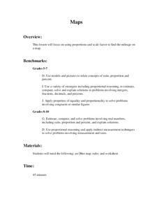
Maps
Young scholars figure out the mileage from one state to another using a map. In this map instructional activity, students look at the scale factor and turn it into a fraction. They measure the distance between two cities and use the...
Curated OER
Map Scale and the Pioneer Journey
Fourth graders, using a map, ruler and calculator, determine the distance the pioneers traveled from Nauvoo, Ill. to the Salt Lake Valley.
Curated OER
Lesson 1 Activity 1: Tools of the Ancients
Learners examine how Christopher Columbus determined his latitude.
Curated OER
Whole Language Approach to Map Making
Fifth graders, after reading Island of the Blue Dolphins, explore map making using the Whole Language Approach.
Curated OER
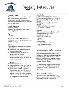
Digging Detectives
Students demonstrate basic procedures for archeological excavations. They explore an archeological site, students using various archeological methods and techniques to determine some of the aspects of past life and culture.


