Curated OER
Adaptive Reuse
Students identify historic buildings in their community that have been adaptively reused. Through "adopting" a building, they will study how recycling of buildings is an environmentally and economically sound practice for communities.
Curated OER
Hazard Mitigation: Bioterrorism
Students discuss different ways to spread infectious diseases. For this bioterrorism lesson, students model the rate of smoke emission using CalRoad software. They analyze the effects of airborne release of biological...
Curated OER
Hit The Road Jack(or Jill)
Students find the approximate area of the court order on a current map of Delaware. They draw a layout of their school and decide where a new hallway or outside pathway would be most needed.
Curated OER
Finding Your Way Around the I & M Canal
Fifth graders utilize a map of the I&M Canal (imbedded in this plan), and perform a series of tasks. They calculate distance, find specific points of interest and solve a set of story problems about the canal.
Curated OER
Visit The Orchard
Students investigate the technology that is used to harvest apples as a crop. They look at examples of past and present machines. The information is used as inspiration for creating their own device to pick and harvest apples for mass...
Curated OER
What Structural Challenges Do Bridge Builders Face Today?
Students investigate the process of constructing a bridge. They study the meaning of structural force and draw pictures of examples. Students identify the types of building materials have been used in history to construct bridges and how...
Curated OER
What's the Matter with My Jell-o?
Students work in teams of four as they conduct four controlled Jell-O experiments over a two-day period. The Family Page extends this learning to the community by providing families with challenges to explore at home.
Curated OER
Riding With Alice
Student listen to Don Brown's, Alice's Grand Adventure before discussing cross country travel. They trace Alice's travels on an outline map of the US and focus on the state of Indiana. They color and label the counties that Alice...
Curated OER
Lesson L - Hit The Road Jack (or Jill)
High schoolers discuss forms of transportation in Delaware during 18th Century, find approximate area of court order on current map of state, draw layout of their school, and decide where new hallway or outside pathway would be most needed.
Curated OER
VAcations in Northern California
Learners explore the natural resources and National Parks of Northern California that are commonly visited by people traveling in the United States. They use maps to locate various sites, plan a highway travel route and use the internet...
Curated OER
Weedy Socks & Wheels
Students engage in a lesson that is concerned with the concept of using socks in order to collect weed seeds. They conduct research in order to illustrate the ease of how weeds are spread from one area to another. Students conduct the...
Curated OER
The Debate Over North Shore Road
Students examine the impact of the North Shore Road Project in North Carolina. In this environmental science instructional activity, students share their views regarding this environmental issue. They compare and contrast the map of the...
Other
Smart Motorist: What Causes Car Accidents?
There are four factors that "Contribute to the vast majority of collisions." This detailed website discusses these: "Equipment Failure," "Roadway Design," "Poor Roadway Maintenance," and "Driver Behavior."
Other
American Society for Engineering Education: Construct a Road Sign Support
This resource presents an exercise for using uncooked spaghetti or drinking straws, learners build a model of a structure used to display and support roadway signs. Finished projects are tested for their ability to withstand the effects...
TeachEngineering
Teach Engineering: Grading Congestion
Students construct a model roadway with congestion and apply their knowledge of level of service (LOS) to assign a grade to the road conditions. The roadway is simply a track outlined with cones or ropes with a few students walking...
TeachEngineering
Teach Engineering: What's Up With All This Traffic?
Expanding on the topic of objects in motion covering Newton's laws of motion, acceleration and velocity, which are taught starting in third grade, students are introduced to new concepts of speed, density, level of service (LOS) (quality...
TeachEngineering
Teach Engineering: How Mountains Are Formed
Students investigate how mountains are formed. Concepts include the composition and structure of the Earth's tectonic plates and tectonic plate boundaries, with an emphasis on plate convergence as it relates to mountain formation....
TeachEngineering
Teach Engineering: Rock Cycle
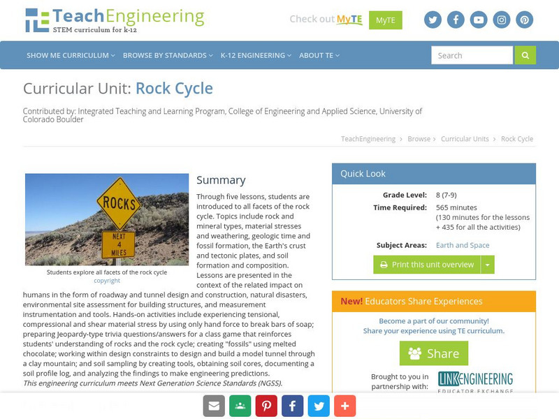
Through five lessons, students are introduced to all facets of the rock cycle. Topics include rock and mineral types, material stresses and weathering, geologic time and fossil formation, the Earth's crust and tectonic plates, and soil...
Curated OER
University of Texas: Maps: Relief Map of Turkey
See how mountainous eastern Turkey is on this relief map from the Perry-Castaneda collection. You can also trace the major roadways and rail lines.
Curated OER
University of Texas: Map of Vietnam
Here is a great political map of Vietnam, showing the major cities, rail lines, and roadways. It also shows Vietnam's neighbors.
Curated OER
University of Texas: Nepal: Political Map
This political map of Nepal shows the many zones that make up the country. You can also find the major cities, roadways, and major trails that traverse the country. From the Perry-Castaneda Collection.
TeachEngineering
Teach Engineering: Tunnel Through!
Students apply their knowledge about mountains and rocks to transportation engineering, with the task of developing a model mountain tunnel that simulates the principles behind real-life engineering design. Student teams design and...
A&E Television
History.com: How Interstate Highways Gutted Communities and Reinforced Segregation
America's interstate highway system cut through the heart of dozens of urban neighborhoods. Congress approved the Federal-Aid Highway Act of 1956, authorizing what was then the largest public works program in U.S. history. It promised to...
Physics Aviary
Physics Aviary: Practice Problems: Stopping Distance Problem
Students must calculate coefficient of friction based on the distance required to stop a car moving along a roadway.


