Hi, what do you want to do?
US Geological Survey
Usgs: How Much Water Is There on (And In) the Earth?
The USGS gives an overview of the amount of water on Earth and where it is located. It gives a few interesting facts about the Earth's supply of water. Click Home to access the site in Spanish.
United Nations
United Nations: Cartographic Section: Great Lakes Region (Map 1) [Pdf]
The United Nations offers this very clear map of part of the Great Lakes region in eastern Africa. The lakes, of course, are labeled, as are the rivers, major cities, and countries.
Science Education Resource Center at Carleton College
Serc: Investigate Topography Caused by Glacial Lake Agassiz & Glacial Riv Warren
In this field investigation students will travel to Bonanza Educational center located on Big Stone Lake. The students will hike up the prairie where they will sit and sketch the topography of the land. The students will then travel down...
United Nations
United Nations: Cartographic Section: Great Lakes Region (Map 2) [Pdf]
This map of the Great Lakes region in Africa from the United Nations shows the large lakes, the countries the lakes touch, and rivers that flow into and out of the lakes.
Other
International Journal of Wilderness: Don Aragon: Wind River Indian Tribes [Pdf]
A comprehensive article honing in on concerns for federal wilderness protection by learning from indigenous peoples, specifically the Eastern Shoshone and Northern Arapaho Indians in Fort Washakie, Wyoming.
Science Education Resource Center at Carleton College
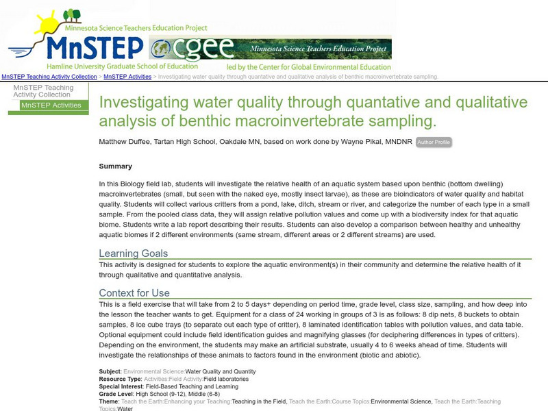
Serc: Investigating Water Quality Through Quantative and Qualitative Analysis
By looking at the bottom dwelling macroinvertebrates, students will investigate water quality and habitat quality in this field lab. Students will record the number of creatures found at the bottom of a pond, lake, ditch, stream or river...
Encyclopedia of Earth
Encyclopedia of Earth: Oceans and Seas: Gulf of St. Lawrence
Detailed information about the hydrology and the geography of the Gulf of St. Lawrence. Discusses water quality, aquatic species, and some of the ecoregions that surround the St. Lawrence Seaway, including lowlands and forests....
Other
Sos Children's Villages: Our Africa Geography and Wildlife
Our Africa is a project that allows the children of Africa to film their lives and their country the way they see them. This section summarizes the geography and wildlife and includes videos about forestry, the Nile, Lake Naivasha, and...
Curated OER
Etc: Maps Etc: Lake Champlain and Lake George, 1919
A road map of New York in the vicinity of Lake Champlain and Lake George from the Official Automobile Blue Book (1919), showing county lines, principal cities and towns, rivers, and is keyed to show the best auto routes, other auto...
Lonely Planet
Lonely planet.com: Color Map of Nicaragua
This site has a great full color map of Nicaragua complete with cities, rivers and lakes detailed. Or you can choose the "zoom out" feature and see all of Central America and the Caribbean.
Curated OER
University of Texas: Tanzania: Relief Map
A relief map of Tanzania showing its many lakes, rivers, and Mount Kilimanjaro. From the Perry-Castaneda Collection.
Other
Alberta Riparian Habitat Management: Protecting Shorelines & Streambanks [Pdf]
Protecting Shorelines & Streambanks - Naturally explains the critical importance of healthy shorelines for preventing soil erosion and filtering out pollutants. It looks specifically at riparian areas, such as those in Alberta, which...
State Library of North Carolina
N Cpedia: Lake Mattamuskeet
Lake Mattamuskeet-so named by Algonquian Indians-is North Carolina's largest natural lake. The ancient body of water has not escaped man's intervention. Originally, Mattamuskeet was a shallow, self-contained lake without creeks or rivers...
State Library of North Carolina
N Cpedia: Catawba River
Catawba River rises in the Blue Ridge Mountains of McDowell County, approximately 20 miles east of Asheville, flowing east-northeast above Hickory until turning southward into the massive Lake Norman Reservoir. It then continues south,...
Ohio History Central
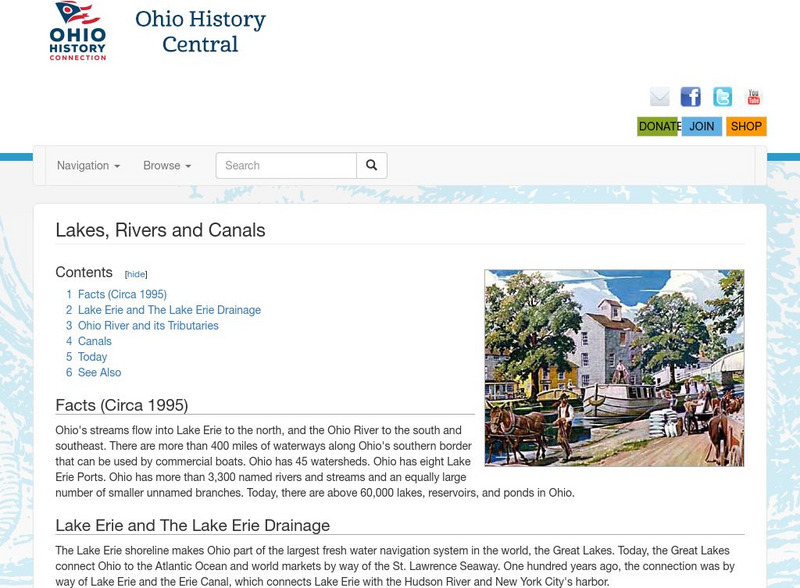
Ohio History Central: Lakes, Rives, & Canals
This site provides a brief introduction to the river system and canals of Ohio. Includes a history of the canal system, details and maps of the drainage throughout the state, and how the river systems are used today.
Polk Brothers Foundation Center for Urban Education at DePaul University
De Paul University: Center for Urban Education: Reversing the Chicago River [Pdf]
"Reversing the Chicago River" is a one page, nonfiction passage about how the leaders of Chicago reversed the polluted Chicago River so that it emptied into the Mississippi River instead of the lake. It is followed by questions which...
British Library
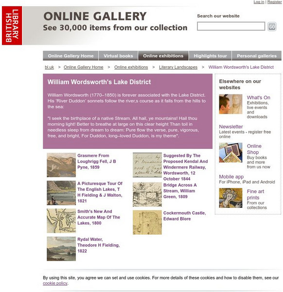
British Library: William Wordsworth's Lake District
Scroll through the images to view William Wordsworth's Lake District. Click on a sketch for further information and to explore the image.
Other
Alberta Riparian Habitat Management Society: Cows, Fish, Cattledogs and Kids!
Children will learn about riparian areas and their importance in maintaining balanced ecosystems in lands adjoining lakes, streams and rivers, as they play these colourful, interactive games.
Countries and Their Cultures
Countries and Their Cultures: Sara
"Sara" is the term employed by outsiders to refer to a group of non-Muslim tribes in southern Chad, all of whom speak mutually intelligible dialects. Each tribe is a distinct geographic, political, and endogamous entity. Major tribes are...
Countries and Their Cultures
Countries and Their Cultures: Palestinians
Palestinians inhabit an area east of the Mediterranean Sea and south of Lebanon. The Jordan River, Lakes Huleh and Tiberias, and the Dead Sea separate Palestine from Jordan. Christians refer to Palestine as "the Holy Land." Today...
Curated OER
Etc: Chief Scene of Operations French and Indian War, 1754 1755
A map of the eastern Great Lakes region to the Hudson River and Lake Champlain showing the chief scene of operations of the French-Indian War at the outbreak of the war in 1754-1755. The map shows the British and French forts and...
Curated OER
Educational Technology Clearinghouse: Maps Etc: Venezuela and the Guianas, 1915
Map of Venezuela, and the former colonies of British Guiana (Guyana), Dutch Guiana (Suriname), and the current departements d'outre-mer French Guiana showing boundaries current to 1915, major cities, the Orinoco River, and Lake Maracaibo.
Curated OER
Etc: Maps Etc: The Dominion of Canada and Newfoundland, 1921
A map from 1921 of the Dominion of Canada and Newfoundland (Newfoundland and Labrador did not become a province of Canada until 1949). The map shows the province capitals and boundaries at the time, major cities and towns, existing and...
Curated OER
Etc: Maps Etc: The Dominion of Canada and Newfoundland, 1901
A map from 1901 of the Dominion of Canada and Newfoundland (Newfoundland and Labrador did not become a province of Canada until 1949). The map shows the province boundaries at the time, including Athabasca, Assiniboia, Keewatin, Ungava,...


