National Humanities Center
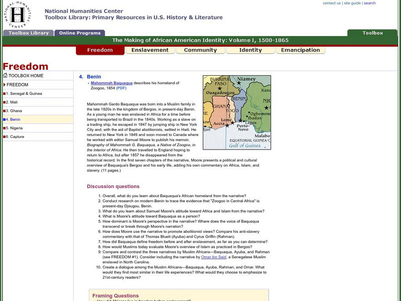
National Humanities Center: Toolbox Library: Bight of Biafra, Making of African American Identity: V. 1
An audio clip of a Yoruba drum and two accounts by slaves or their descendants that offer African perspectives on life and culture in the Niger River Delta.
Curated OER
Educational Technology Clearinghouse: Maps Etc: Africa Physical, 1915
Physical map of Africa showing major landforms and waterways, including the Atlas Mountains, Mount Kilimanjaro, the Saharan, Libyan, Arabian, and Kalahari Deserts, The Upper and Lower Guinea Coasts, the Congo Basin, Lake Victoria, and...
Curated OER
Educational Technology Clearinghouse: Maps Etc: Colonial West Africa, 1920
Map of Western Africa in 1920 showing the Upper Guinea States of Gambia, Portuguese Guinea, Sierra Leon, Liberia, British Gold Coast, Togo, Dahomey, Northern and Southern Nigeria, Kamerun, and Spanish Guinea. The map also shows the...

