Curated OER
Educational Technology Clearinghouse: Maps Etc: Cross Timbers of Texas, 1911
A map from 1911 showing the cross timbers of Texas north of Austin. The map is keyed to show the Grand Prairie and Black Prairie regions.
Curated OER
Educational Technology Clearinghouse: Maps Etc: Natural Regions of Africa, 1920
A map from 1920 of Africa and Madagascar showing principal physical features and natural regions. The map is color-coded to show lowlands, uplands and plateaus, the Kongo basin, the older, worn down mountains, and young, rugged...
ClassFlow
Class Flow: Texas Regions
[Free Registration/Login Required] Students will identify 7 major Texas regions. The flipchart has links to the Texas Parks and Wildlife website with characteristics of each region. There are 20 Activote assessment questions at the end...
Other
Thomas Intermediate School: Southwestern States Activity
Teachers and students can find activities for the Southwest, the states of Texas, New Mexico, Arizona, and Oklahoma. The grade is based on the number of activities and the quality of work.
University of Texas at Austin
Ut Library Online: Historical Map Collection
This extensive collection from the University of Texas Library Online of detailed maps of many regions of the Earth.
Texas Education Agency
Texas Gateway: Ch. 18: Causes of Inflation in Various Countries and Regions
By the end of this section, you will be able to do the following: Identify the causes and effects of inflation in various economic markets and Explain the significance of a converging economy.
Texas Instruments
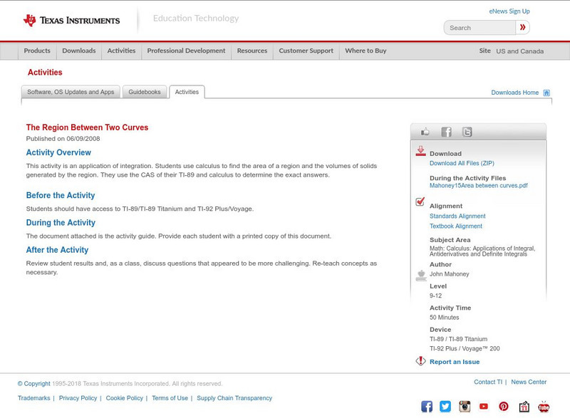
Texas Instruments: The Region Between Two Curves
This activity is an application of integration. Students use calculus to find the area of a region and the volumes of solids generated by the region. They use the CAS of their TI-89 and calculus to determine the exact answers.
Texas Instruments
Texas Instruments: Key Curriculum Press Algebra: Project the Mandelbrot Set
Students will choose a small region on the boundary of the Mandelbrot Set and create a graph of that smaller region.
Texas Instruments
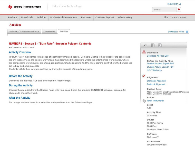
Texas Instruments: Numb3 Rs: Irregular Polygon Centroids
Based off of the hit television show NUMB3RS, this lesson has students explore finding the centroid of an irregular polygon by finding the mean of the coordinates of the polygon's vertices. Further, students find the centroid given that...
Other
Cis: Shaping Texas: The Effects of Immigration, 1970 2020
Examines trends in immigration to Texas in the decades from 1970 on, and the impact on the population of various regions and cities in Texas. Written in 1995, the projections it offers are for 1995-2020. The article also looks at how...
Texas Instruments
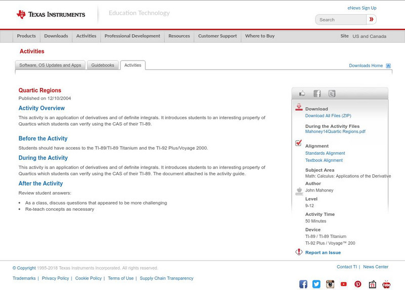
Texas Instruments: Quartic Regions
This activity is an application of derivatives and of definite integrals. It introduces students to an interesting property of Quartics which students can verify using the CAS of their TI-89.
Texas A&M University
Texas A&m University: Moments of Inertia
This site is from the Math department of the Texas A&M University and contains wonderful information on Centers of mass and moments of inertia. Pictures, charts, graphs along with great text is all included.
Texas Instruments
Texas Instruments: Cubic Regions
This application of derivatives and definite integrals introduces students to an interesting property of cubics and a method of proving that property using the TI-89 scripts. They then use the CAS of their TI-89 to generalize upon...
Texas Instruments
Texas Instruments: Numb3 Rs: Branch and Bound
Based off of the hit television show NUMB3RS, this lesson is best used as an extension to linear programming in which the solutions to the proposed problem must be integers. The Branch and Bound method operates on the optimized point,...
Texas Education Agency
Texas Gateway: 18: Macroeconomic Policy Around the World: Key Concepts & Summary
This section provides a summary of the key concepts discusses in Ch. 18: Macroeconomic Policy Around the World from the Texas Gateway AP Macroeconomics online textbook.
Texas Instruments
Texas Instruments: Numb3 Rs: Location! Location! Location!
Based off of the hit television show NUMB3RS, this lesson introduces students to Voronoi diagrams, which split a plane into regions corresponding to distances to given points. The lesson is framed in the context of splitting a city into...
University of Texas at Austin
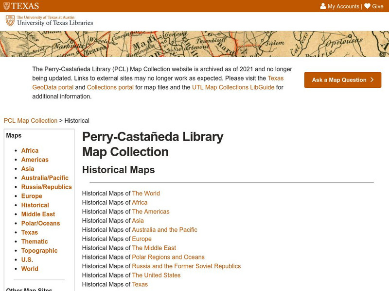
Perry Castaneda Library Map Collection
Maps from all over the world can be printed from this site. Find historical maps of the world; thematic maps; and world, continent, country, state, and county maps for your use.
A&E Television
History.com: The States
Learn unique facts about each American state. You can also read a more in-depth history of each state, watch videos and play a game about all the states.
Texas State Historical Association
Texas State Historical Association: Texas Talk [Pdf]
Learn to appreciate the regional accent of a Texan, and to speak like one too. Includes a link to a Texas pronunciation guide.
Texas Education Agency
Texas Gateway: Ch. 18: Introduction to Macroeconomic Policy Around the World
In this chapter, you will learn about the following: Diversity of countries and economies across the world, Improving countries' standards of living, Causes of unemployment around the world, Causes of inflation in various countries and...
Smithsonian Institution
National Museum of Natural History: American Mammals: Llano Pocket Gopher
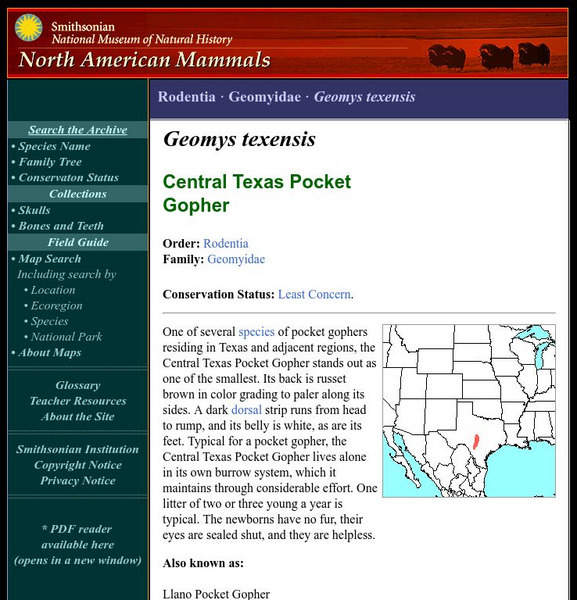
One of several species of pocket gophers residing in Texas and adjacent regions, the Llano Pocket Gopher stands out as one of the smallest. Its back is russet brown in color grading to paler along its sides. Learn more about the Geomys...
Digital History
Digital History: The Disputed Election of 2000
Online summary of the dispute over the presidential election of 2000 and the outcome.
A&E Television
History.com: Coahuila
Learn about Coahuila, one of Mexico's major steel producers, and also the region that straddles the Sierra Madre Oriental Mountains. Find out about the history, learn some important facts, and understand famous landmarks of the region.
Nature Conservancy
Nature Conservancy: Nash Prairie Preserve
Explore the beauty of America's prairies and examine efforts to preserve this vanishing part of America's landscape.
Other popular searches
- Natural Regions of Texas
- Four Regions of Texas
- Map of Texas Regions
- 4 Regions of Texas
- Geographic Regions of Texas
- Landform Regions of Texas
- Land Form Regions of Texas


