Texas Parks and Wildlife
Texas Parks and Wildlife: Caprock Canyons State Park and Trailway
The region of Caprock Canyons, southeast of Amarillo, Texas, has been inhabited since the sixteenth century. This resource is chock full of history, geology and ecology of the state park. For activities, webcasts, and more information on...
Texas A&M University
Sons of Dewitt Colony Texas: Mexican Independence
Website devoted to the regional history of Texas discusses significant historical figures and events of Mexican Independence.
Bullock Texas State History Museum
Bullock Museum: Chapter Ten: Resources and Climates [Pdf]
A teacher guide designed to support a visit to the Bullock Museum, but can be used on its own using available resources. Includes information, discussion questions, activities, and worksheets. This module looks at the challenges Texans...
Other
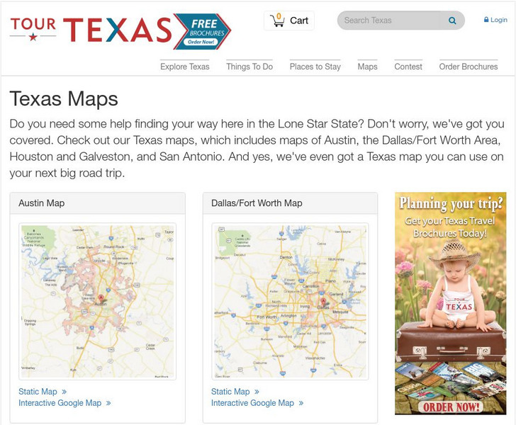
Conservation History Association of Texas: The Texas Legacy Project: Maps
A collection of links to a variety of maps and exercises about state resources, and help give historic background and regional context to the environmental issues that arise in Texas.
University of Texas at Austin
University of Texas: Us Universities: Alphabetic
This webpage of UT Austin Web Central contains an alphabetic list of regionally-accredited U.S. universities.
University of Texas at Austin
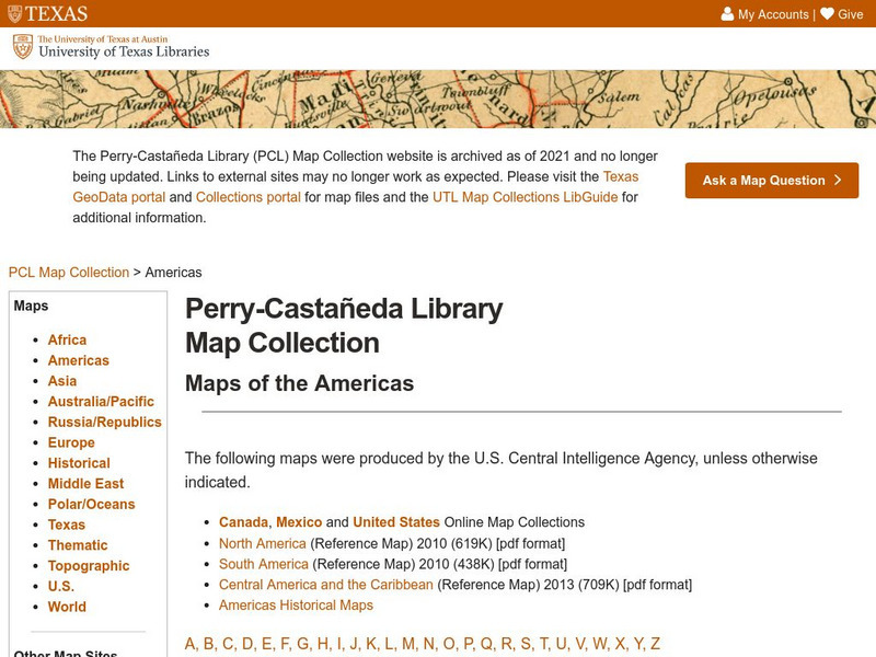
Univerisity of Texas: Maps of the Americas
A large collection of maps of all countries in the Americas including relief maps, political maps, and reference maps.
Texas Parks and Wildlife
Texas Parks and Wildlife: Threatened and Endangered Species
A comprehensive site covering the endangered species in Texas. Includes information about endangered species laws, why it is important to protect these species, and more. Click on the different regions under "Navigate To Another Wildlife...
ClassFlow
Class Flow: Texas Regions
[Free Registration/Login Required] Students are introduced to the 7 major regions of Texas. Links to the Texas Parks and Wildlife website provide information on each region. 20 Activote questions are at the end of the lesson.
TexasHistory.com
Texas history.com: Texas' Indian Reservations
The State of Texas established two Indian reservations in the mid-1800s, overseen by the United States Indian agent, Major Robert Neighbors. At the time, Texas was rife with racism and distrust towards the native peoples, which was...
University of Groningen
American History: Essays: Colonization in Texas: Cultivation of Cotton and Wheat
Discusses the cotton economy in the Lower and Upper South of Texas in the 1800s, and the role transportation played in its growth, or lack thereof in some regions. Wheat was more widely grown in the Upper South where the yeomen farmed.
Texas Education Agency
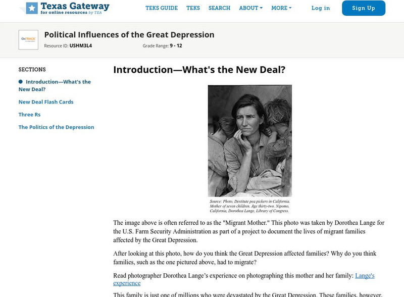
Texas Gateway: Political Influences of the Great Depression
Given primary and secondary sources of information about selected New Deal measures (e.g., the creation of the Civilian Conservation Corps or the passage of the Agricultural Adjustment Act), students will analyze how these measures...
University of Texas at Austin
Ut Library Online: Historical Maps of the Polar Regions
This collection from the University of Texas Library Online of historical maps contains a variety of maps from various parts of the polar region and from different parts of history. Each map is accompanied by a brief description and is...
Other
Museum of Fine Arts, Houston
This link leads you to the home page of the Museum of Fine Arts, Houston, where you can explore the museum's encyclopedic collections of art from all historical periods and from all geographic regions of the world.
Other
Galveston Bay Estuary Program: Habitat Restoration and Preservation
Describes the projects that have been undertaken in the Galveston Bay estuary region of Texas to restore and protect shoreline and wetlands habitats.
Texas Public Broadcasting
Texas Pbs: Texas Our Texas: The Land and Its Early People: Prehistory 1519
Learn how the four different regions with their diverse geographical features make Texas' environment quite varied and unique, and how this influenced early settlers in the state.
University of Texas at Austin
The Perry Castaneda Library Map Collection
This collection contains more than 250,000 maps covering all areas of the world, and ranging from political and shaded relief maps to the detailed and the historical. Select from a region of the world or an area of highlighted interest.
University of Texas at Austin
University of Texas: Human Environmental Interactions [Pdf]
Inspired by Hemispheres' 2004 Teachers' Summer Institute, People and Place: Human-Geographic Relations, this curriculum unit was designed to address human adaptation to and modification of the environment. How have humans adjusted to...
Texas Instruments
Texas Instruments: Centroid and Orthocenter
In this activity, students analyze the location of the centroid and orthocenter for different triangles.
US House of Representatives
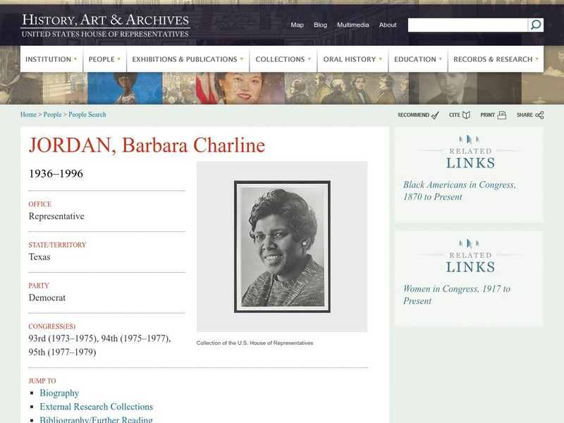
History, Art, and Archives: Barbara Charline Jordan 1936 1996
One of the first African-Americans elected from the Deep South and the first black Congresswoman ever from that region, read about how Barbara Jordan emerged as a powerful interpreter of the Watergate impeachment investigation.
University of Texas at Austin
Map of Disputed Areas in Kashmir
A comprehensive map of the region of Kashmir and the areas under dispute by India and Pakistan.
Texas Instruments
Texas Instruments: Trying to Find a 'Best' Fit a Heuristic Approach
In this Derive activity, students determine the optimal location for a warehouse so that it is close to the center of a circle that passes through all the outlets of a store in the region.
Texas Instruments
Texas Instruments: Numb3 Rs: Where's Cheetah?
Based off of the hit television show NUMB3RS, this lesson has students set up a search region for a yacht that sank into the ocean. Using cylindrical coordinates and a little trigonometry, students are able to block off a certain portion...
US Department of State
Bureau of International Information Programs: History Outline: Sectionalism
Article reviews several conditions of American society that sowed the seeds of civil war, particularly slavery and sectional conflict.
Other popular searches
- Natural Regions of Texas
- Four Regions of Texas
- Map of Texas Regions
- 4 Regions of Texas
- Geographic Regions of Texas
- Landform Regions of Texas
- Land Form Regions of Texas

![Bullock Museum: Chapter Ten: Resources and Climates [Pdf] Unit Plan Bullock Museum: Chapter Ten: Resources and Climates [Pdf] Unit Plan](https://static.lp.lexp.cloud/images/attachment_defaults/resource/large/FPO-knovation.png)

