Hi, what do you want to do?
E-learning for Kids
E Learning for Kids: Math: Bus Station: Position on a Map
Help Jamal read maps, describe directions, and identify coordinates in this series of interactive exercises.
Other
Geoscience Australia: Map Reading Guide: How to Use Topographic Maps [Pdf]
A topographic map can be challenging to read. This guide explains how to decipher one and how to use a magnetic compass to orient yourself to the landscape. It also explains how to use GPS coordinates.
CK-12 Foundation
Ck 12: Volume of Pyramids: Midpoint Map
[Free Registration/Login Required] Students explore the concept of midpoints and segment bisectors by navigating through the interactive learning module and then answering questions that go along with the module. Students can also learn...
Rice University
Rice University: Cynthia Lanius: Mathematics of Cartography: What Are Maps?
Defines what maps are and provides illustrations and related links to a site devoted to cartography.
Rice University
Rice University: Cynthia Lanius: Mathematics of Cartography
Can there be a connection between map making and math? Explore the mathematics of cartography in this resource that integrates web-based instruction, mathematical problem solving, geometry, history, and art. Interesting information and...
Rice University
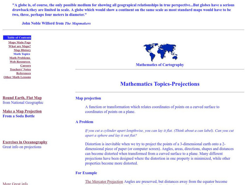
Rice University: Cynthia Lanius: Mathematics of Cartography: Projections
Understanding map projections is an important map-reading skill. Features graphics and links to examples of many different projections and an activity on making a Mercator projection.
TeachEngineering
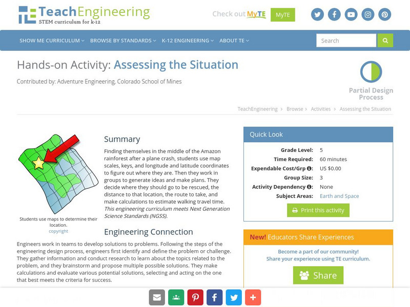
Teach Engineering: Assessing the Situation
In this activity, students will use the scale, the key, and longitude and latitude on a map to determine where they have crashed. They will then use the map scale to determine the distance to the nearest city and how long it will take...


![Geoscience Australia: Map Reading Guide: How to Use Topographic Maps [Pdf] Handout Geoscience Australia: Map Reading Guide: How to Use Topographic Maps [Pdf] Handout](https://static.lp.lexp.cloud/images/attachment_defaults/resource/large/FPO-knovation.png)


