Other
Richard Phillips: Making Maps Easy to Read
This geography research project surveys factors that make maps easy to read and to use.
CK-12 Foundation
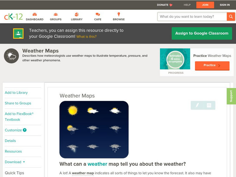
Ck 12: Earth Science: Weather Maps
[Free Registration/Login may be required to access all resource tools.] How meteorologists create and read weather maps.
Library of Congress
Loc: Zoom Into Maps
What can we learn from maps? How can we use maps? How can we best read maps? Find out the answers to these with detailed explanations of making the most of maps presented to us. Examples of historical, pictoral, miratory, etc. types of...
Read Works
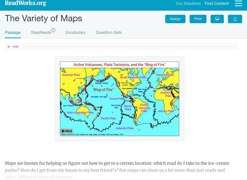
Read Works: The Variety of Maps
[Free Registration/Login Required] An informational text about many different types of maps and the people who make them. A question sheet is available to help students build skills in reading comprehension.
Microsoft
Microsoft: Map Reading in the 21st Century
Learners learn how to make informed use of new digital mapping information and tools. Learners create hands-on learning experiences for understanding the relevance of maps. The lesson plan consists of student activities, resources,...
Texas State Library and Archives Commission
Texas State Library and Archives Commission: The Movement Comes of Age: Suffrage Map, Austin Woman Suffrage Association
Here is an interesting "Suffrage Map," showing which states had granted women the right to vote by 1913. Read how the women's voting movement was, unfortunately, soiled by racism, as shown through the map's text, "Won't You Help Us Make...
Curated OER
History Matters: Making Sense of Maps
Very detailed site from History Matters containing an explanation of how to read maps and understand them. An excellent resource for teachers. The site covers how to begin, how to use a scale, how to create a flat map for a round world,...
English Zone
English Zone: Reading a City Map 1
Practice reading information provided in map format. This website has a simple city map that you refer to when answering questions about various places located on the map. Choose the correct response for each multiple choice question and...
National Association of Geoscience Teachers
Nagt: Urban Planning 101: Map Appreciation
In this lesson students will begin by looking at a series of maps and they will brainstorm ways the natural world may interact with humans and vice-versa. Students will then come up with a list of features of a city or town, make...
Other
Mapping Your Future: For Middle and High School Students
If you read through all sections of this site, then follow through on what you have read, you'll learn to make the most of your high school experience and know how to prepare for your life after high school. The site also has a section...
Curated OER
History Matters: Making Sense of Documents
Designed to help teachers and students make effective use of primary documents. There are well written section on how to make sense of numbers, ads, music, diaries, and more. included are interactive activities for students to help them...
University of California
Us Geological Survey: Cartogram Central
The USGS offers detailed information on Types of Cartograms, Congressional Districts, Software for Cartograms, Publications, and a Carto-Gallery.
Texas Education Agency
Texas Gateway: Synthesize Ideas in Informational/expository Text
[Accessible by TX Educators. Free Registration/Login Required] Learn how to synthesize and make logical connections between ideas within a text and across two or three texts representing similar or different genres and to support the...
Pamela Seed
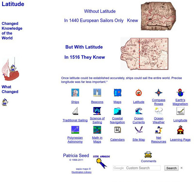
Rice: Latitude: The Art and Science of 15th Century Navigation
This is a great site to read about how navigation began in Europe and what tools were used. Make sure to read the segments on coastal navigation, maps, and ocean currents.
University of South Florida
Fcat Express: Probable Passage
Site provides extensive assistance in preparing 4th grade students for Florida Comprehensive Assessment Test. This section provides help in using the "probable passage" technique to aid comprehension. In addition, links are available to...
Writing Fix
Writing Fix: An I Pod Inspired Writing Lesson: Oh, the Places You'll Go!
After listening to Van Morrison's "Days Like This" and Lee Ann Womack's "I Hope You Dance " and reading Dr. Seuss' Oh, the Places You'll Go! students will consider their choices in life. After asking students, "Who decides your lives are...
Library of Congress
Loc: Drake's West Indian Voyage 1588 1589
While studying early American exploration students will view the maps Sir Francis Drake used in his attacks of the Spanish in the New World. This lesson plan makes use of primary source maps to help the students learn how to analyze them.
ClassFlow
Class Flow: Flight: The Journey of Charles Lindbergh
[Free Registration/Login Required] This flipchart was created to use with the story, Flight, by Robert Burleigh, in the Scott Foresman Reading Series for third grade. Students will preview and predict what the story will be about. The...
Other
In Pursuit of Freedom & Equality: Brown v. Board of Education of Topeka
Teachers and students can find a comprehensive summary of the Brown v. Board of Education of Topeka case. Learn about the myths and find out the truth. The activities offered are especially meaningful. Students can perform a...
Other
Voyages: Scientific Circumnavigations: Dampier
Read about the unlikely journals and observations of William Dampier, an English pirate who sailed the Pacific, making landfall in the Philippines, East Indies, and Australia. See his maps, descriptions of the Pacific, and observations...
Curated OER
Latitude: The Art and Science of 15th Century Navigation
This is a great site to read about how navigation began in Europe and what tools were used. Make sure to read the segments on coastal navigation, maps, and ocean currents.
Curated OER
How Accurately Did They Know the World in 1516?
This is a great site to read about how navigation began in Europe and what tools were used. Make sure to read the segments on coastal navigation, maps, and ocean currents.
University of Washington
A Visual Sourcebook of Chinese Civilization [Pdf]
The goal of this "visual sourcebook" is to add to the material teachers can use to help theirstudents understand Chinese history, culture, and society. It was not designed to standalone; we assume that teachers who use it will also...

