Hi, what do you want to do?
Other
La Rue Literacy Exercises: Reading a Map: Quiz 12
In this quiz, students are given sections of a map with locations like the school, post office, back, etc. They are asked questions about directions from one place to the other.
Read Works
Read Works: How to Draw a Map
[Free Registration/Login Required] An informational text about how to draw a map. A question sheet is available to help students build skills in reading comprehension.
Math Science Nucleus
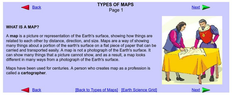
What Is a Map?
Do you want to know what a map is? If you look here, you will find why we have them and their uses.
Read Works
Read Works: How to Draw a Map Passage & Question Set
[Free Registration/Login Required] This informational text passage explains how to draw a map. This passage reinforces essential reading comprehension skills. Opportunities for vocabulary acquisition are also included. Several questions...
Other
Gallaudet University: Reading and Mapping
Learn strategies for reading and mapping. This link offers important tips on improving test taking skills. Includes a PDF (requires Adobe Reader).
E-learning for Kids
E Learning for Kids: Math: Tea Store: Reading a Table
Students will demonstrate how to interpret information in a table.
Read Works
Read Works: Maps
[Free Registration/Login Required] An informational text about maps and how they are used. A question sheet is available to help students build skills in reading comprehension.
Read Works
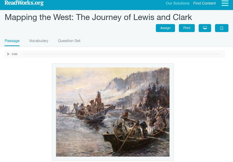
Read Works: Mapping the West: The Journey of Lewis and Clark
[Free Registration/Login Required] An informational text about Lewis and Clark exploring the Louisiana Purchase. A question sheet is available to help students build skills in reading comprehension.
Curated OER
University of Texas: Small Map of Vietnam
Look at a map of Vietnam with all the major cities and the Mekong River and delta. Very easy to read.
Curated OER
University of Texas: Sri Lanka: Relief Map
A very easy to read relief map of Sri Lanka from the Perry-Castaneda Collection showing the land forms along with the major highways and rail lines.
English Zone
English Zone: Reading a City Map 1
Practice reading information provided in map format. This website has a simple city map that you refer to when answering questions about various places located on the map. Choose the correct response for each multiple choice question and...
Read Works
Read Works: John Wesley Powell Maps the Grand Canyon
[Free Registration/Login Required] Students read natural historian John Wesley Powell and his men who worked to create a map of the Grand Canyon. A question sheet is available to help students build skills in reading comprehension.
Alabama Learning Exchange
Alex: Treasure Hunt
Get hands-on with students in building a map with a class. Take students outside to a sandbox and work with them to build a map of campus. Once the map is drawn you can turn their design into a treasure hunt to assess map interpretation.
Science Education Resource Center at Carleton College
Serc: Geo Map App Learning Activities: Rules of Contouring
Using GeoMap software, students learn how to read topographic maps, and the rules for using contour lines on a map. Detailed teacher and student handouts are provided. (GeoMap software can be downloaded at: http://www.geomapapp.org/.)
Curated OER
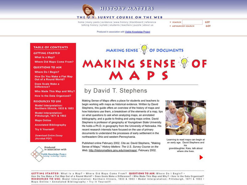
History Matters: Making Sense of Maps
Very detailed site from History Matters containing an explanation of how to read maps and understand them. An excellent resource for teachers. The site covers how to begin, how to use a scale, how to create a flat map for a round world,...
Sophia Learning
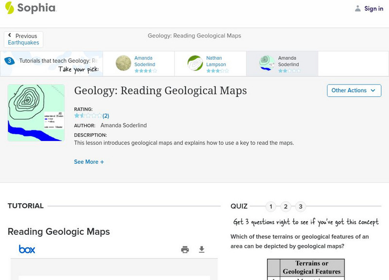
Sophia: Geology: Reading Geological Maps: Lesson 3
This lesson introduces geological maps and explains how to use a key to read the maps. It is 3 of 3 in the series titled "Geology: Reading Geological Maps."
Other
Geoscience Australia: Map Reading Guide: How to Use Topographic Maps [Pdf]
A topographic map can be challenging to read. This guide explains how to decipher one and how to use a magnetic compass to orient yourself to the landscape. It also explains how to use GPS coordinates.
University of South Florida
Fcat Express: Story Mapping
Site provides extensive assistance in preparing 4th grade students for Florida Comprehensive Assessment Test. This section focuses on story mapping, which helps students put events of a story in sequential order.
Annenberg Foundation
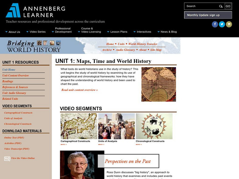
Annenberg Learner: Bridging World History: Maps, Time, and World History
Learn how map projections and chronological constructs are used in the study of world history and help us to understand and interpret the past. Part of a larger site on world history, this unit on maps offers complete reading,...
University of South Florida
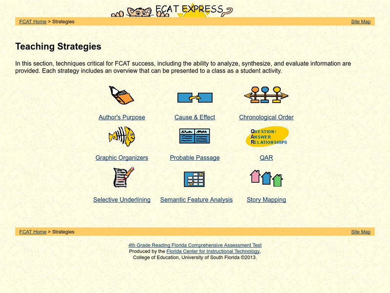
Fcat Reading Grade 4: Teaching Strategies
This is a great resource that concentrates strategies and student activities in one place in an easy to use format, and can be navigated easily. Find great examples of probable passage, selective underlining, and semantic feature...
Read Works
Read Works: A School Map
[Free Registration/Login Required] This fiction piece tells the story of a little girl who draws a map of the school for her little brother. This passage is a stand-alone curricular piece that reinforces essential reading skills and...
ProProfs
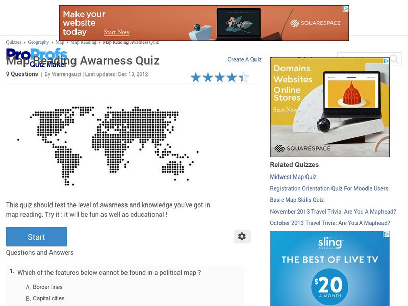
Pro Profs Quiz Maker: Map Reading Awareness Quiz
This is a nine-question quiz about information on maps and parts of a map. The questions are timed, but not limited.
University of Texas at Austin
The Perry Castaneda Library Map Collection
This collection contains more than 250,000 maps covering all areas of the world, and ranging from political and shaded relief maps to the detailed and the historical. Select from a region of the world or an area of highlighted interest.
Other
Ordnance Survey: Map Zone: Measuring Distance
Read how to measure distance on maps using straight lines, string, or a ruler in order to strengthen students' mapping skills.
Other popular searches
- Reading a Map Key
- Reading a Map Scale
- Reading a Map Directions
- Reading a Map Legend
- Reading a Map Science
- Reading a Map Worksheets


