Curated OER
THE MESOAMERICAN MYSTIQUE
Pupils research, archeology, historical videos, and travel highlights in the northern region of Central America. They identify the various archaeological / historical sites along with a date of probable existence and the title of the site.
Curated OER
Pollution Solution
Fourth graders examine how trees help to absorb the pollution that is emitted from automobiles. They review the process of photosynthesis and determine how forest management is important on their reservation. They think about the...
Curated OER
Environment: The Haves and the Have Nots
Students examine consumption habits in developed and developing countries and determine their effects on natural resources. In groups, they assess graphs on the Living Planet Report and observe the connection between consumption and...
Curated OER
On the Road Again": Moving People, Products, and Ideas
For this lesson learners learn how to identify modes of transportation and communication for moving people, products, and ideas from place to place. Students also study the advantages and disadvantages of different modes of...
Curated OER
Regions: Meet the Experts Presentation
Students gather information and create a web site on prairies and plains using a variety of resources, including the internet.
Curated OER
"Czech It Out" - A Look at Eastern Europe
High schoolers research several countries in Eastern Europe. Students compare and contrast several Eastern European countries and then choose a specific country to research and prepare a class presentation with their findings.
Curated OER
The Arctic and Taiga Ecozone of Canada
Students discover the differences in the Arctic and Taiga regions of Canada. They identify physical and human characteristics of both region. They also practice using an atlas.
Curated OER
The Arctic and Taiga Ecozone of Canada
Students examine the various sub-regions of the Arctic and Taiga zones in Canada. Using the online Canadian Atlas, they locate and describe the characteristics of each zone. They organize their information into a chart and share it with...
Curated OER
Indiana Tornado Project
Learners become familiar with the use of GIS for research, natural phenomena in Indiana, and analyzing collected information.
Curated OER
Learning the 50 States
Students become familiar with all 50 states over the course of ten days.
Curated OER
'My Town' Brochure
Ninth graders use the internet to research a city or town on the "Walk Across Texas" route. They create a brochure or booklet advertising their assigned city or town.
Curated OER
East to West: Africa's Influence on Mexico
Your historians and social anthropologists study the relationship between peoples of ancient Africa and ancient Mesoamerica. They relate in written or verbal form the African presence in the ancient Americas. They create their own...
Curated OER
Local Customs of Southeast Asian Countries
Students examine the cultural nuances of insular countries in southeast Asia. They perform skits demonstrating local customs of the countries examined, including greetings, visiting, business, drinking, and gift giving.
Curated OER
If You Mess With A Wetland, At Least Try to Make Amends!
Eighth graders examine the role of wetlands in an ecosystem. In groups, they use the internet to research how humans have disturbed and ruined the effectiveness of wetlands throughout the country. They pretend they are in charge of...
Curated OER
Camp Stark, New Hampshire, World War II Prisoner-of-War Camp
Students examine the political, personal, and geographical boundaries created by World War II to the citizens and prisoners of war at Camp Stark.
Curated OER
Class Conservation Corps (CCC)
Learners investigate how the loss of soil, a valuable natural resource, affects their lives through loss of productive land to grow food, loss of coastal land mass, and poor water quality from runoff. They design a project to keep soil...
Curated OER
See the World
Seventh graders locate and write creatively about different places and their cultures. They identify the physical, economic, social, political and cultural characteristics of selected regions in the Eastern Hemisphere. Finally, 7th...
Curated OER
The Cities in Turkey
Young scholars discover the economies, demographics, and characteristics of some of the largest Turkish cities. They explore Istanbul's history, people, and what is enduring about the city. Student groups make a presentation to the class.
Curated OER
A Canadian Inventory: The Way We Are!
Students use the Canadian Atlas to discover an inventory of Canada's wealth and usage of resources. Using charts and graphs, they produce a wall of selected data of importance to the country and identify one issue of sustainability. ...
Curated OER
Effects Of Natural Disasters On Environment
Students investigate the concept of how natural disasters effect the environment. They conduct research using a variety of resources. They are given a scenario that needs a defensive speech. Students take a position and defend it by...
Geographyiq
Geography Iq
Detailed geographical information on any country is available at this site. Within the World Map section, you can get facts and figures about each country's geography, demographics, government, political system, flags, historical and...
C3 Teachers
C3 Teachers: Inquiries: Geography
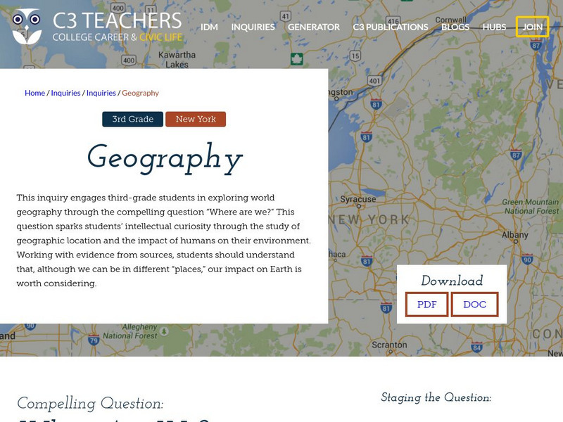
A learning module on world geography. It includes several supporting questions accompanied by formative tasks and source materials, followed by a summative performance task. Students investigate where their community is located, where...
Other
Just Maps: World Maps
An index of maps and flags of countries throughout the world. Also provides political maps, time zones, population, and religious maps of every region of the world.
Enchanted Learning
Enchanted Learning: Australia: Geography, States and Territories, Population
Facts about Australia's geography, including population, government and economy, largest cities, and landmarks such as the Great Barrier Reef and more.
