Latin America Network Information Center
Urbanization
Brazil's population has been changing dramatically in the last century. Study the causes of Brazilian urbanization, including industrialization and and migration, and the implications for the country of the populations'...
Curated OER
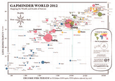
Gapminder World 2012
Here is a very interesting infographic that compares the average life expectancies, per capita incomes, and population sizes of every country in the world in 2012.
Curated OER
The Crash Scene
Fifth graders explore geography by participating in a mapping activity. In this engineering instructional activity, 5th graders identify the differences between latitude and longitude and practice locating precise points on a globe or...
Curated OER
The Equator
Learners investigate cultures located along the equator. In this geography skills lesson, students research the geography, history, culture, and tourism of Ecuador, Indonesia, Kenya, Brazil, and Singapore. Learners write an article based...
Curated OER
South America Map Quiz
In this online interactive geography quiz worksheet, students examine the map that includes all of South America's countries. Students identify the 13 countries in 2 minutes.
Curated OER
South American Capitals Quiz
In this online interactive geography quiz worksheet, students respond to 12 identification questions about the capital cities of South America. Students have 4 minutes to complete the quiz.
Curated OER
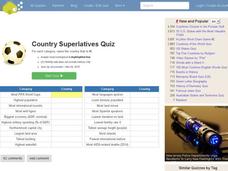
Country Superlatives Quiz
In this online interactive geography quiz worksheet, students respond to 20 identification questions regarding world country comparisons. Students have 4 minutes to complete the quiz.
Curated OER
Rivers And Capitals
Students become familiar with the use of GIS for research and become aware of the importance of rivers to cities. They also analyze the placement of cities and learn the names of rivers in the United States.
Curated OER
Latin America: Places and Regions
Seventh graders create a Latin American portfolio in the form of a country presentation using PowerPoint software. They use their knowledge of geographic concepts to interpret maps, globes, charts, diagrams, and timelines.
Curated OER
Indiana Tornado Project
Learners become familiar with the use of GIS for research, natural phenomena in Indiana, and analyzing collected information.
World InfoZone
World Info Zone: Brazil
This resource covers many topics about the South American country of Brazil. Subjects included are geography, architecture, languages, food, economy, sports, environment, population, religion, history, arts, and holidays. There is also a...
Encyclopedia of Earth
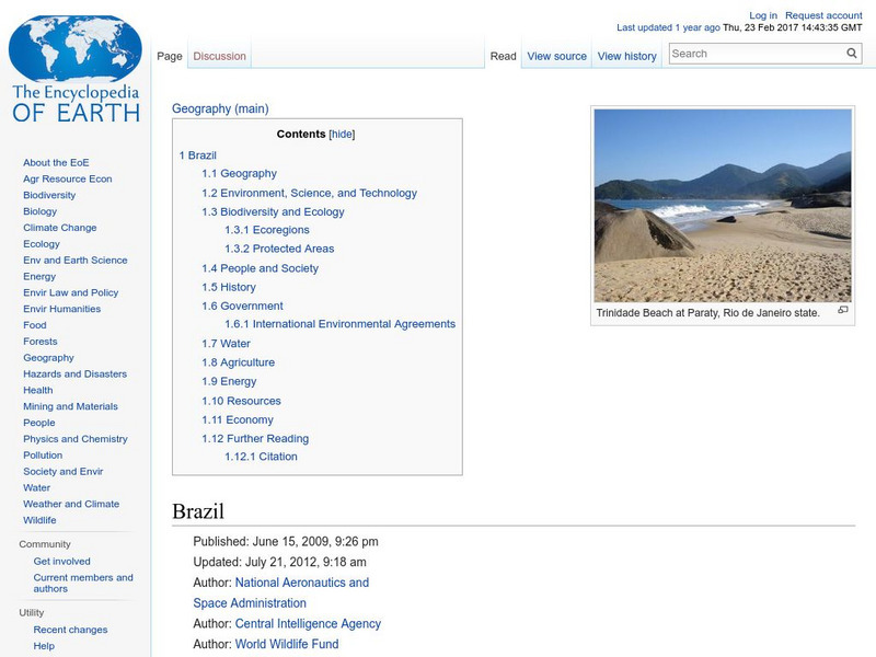
Encyclopedia of Earth: Brazil
Facts about Brazil including environmental issues, background, geography, biodiversity and ecology, ecoregions, government, people, water, economy, energy, natural resources, industries, and conflict.
World Facts US
World Facts: Facts About Brazil
Easy to use reference tool that is full of useful information on Brazil covering topics such as geography, population, government, and economy.
Oxfam
Cool Planet: Brazil
Travel to Brazil and discover information on its history, geography, people, and fun facts. Also, find out what Oxfam is doing to help the third of the population of people in this country that still live in poverty.
Adventure Learning Foundation
Adventure Learning Foundation: Brazil
Useful guide with an abundance of country specific information about the South American country of Brazil. Content covered includes photos, symbols, history, economy, geography, climate, population, culture, maps, and lesson plans.
University of Texas at Austin
University of Texas: Perry Castaneda Library: Brazil Maps
Presents a great collection of maps all having to do with Brazil. There are country maps, city maps, and thematic maps that cover topics such as politics, geography, economy, land use, population, climate, and more.
Ducksters
Ducksters: Geography for Kids: Brazil
On this website, the history, capital, flag, climate, terrain, people, economy, and population of Brazil is discussed.
Nations Online Project
Nations Online: Brazil Country Profile
Features a country profile of Brazil, background details, and numerous links to comprehensive information on the nation's culture, history, geography, economy, environment, population, news, government, and much more tourism information.
Other
Country reports.org: Brazil Country Information
This great resource for students and teachers alike provides an abundance of information on the South American country of Brazil. Examines the countries customs and culture, history, geography, economy, population, government, and more....
Other
Geo Hive: Brazil
A list of the administrative divisions of Brazil, the capitals of these divisions, their area, and population. It also lists the main cities in Brazil with their population.
Curated OER
Adventure Learning Foundation: Brazil
Useful guide with an abundance of country specific information about the South American country of Brazil. Content covered includes photos, symbols, history, economy, geography, climate, population, culture, maps, and lesson plans.
Curated OER
Map of Brazil
Useful tool for finding quick facts and information on Brazil's culture, geography, religion, population, and travel advisories. Includes a map and image of the flag.
Curated OER
Flag of Brazil
Useful tool for finding quick facts and information on Brazil's culture, geography, religion, population, and travel advisories. Includes a map and image of the flag.
Curated OER
Brazil Map1.gif (15444 Bytes)
Useful guide with an abundance of country specific information about the South American country of Brazil. Content covered includes photos, symbols, history, economy, geography, climate, population, culture, maps, and lesson plans.

