Curated OER
University of Texas: Ethiopia: Political Map
A political map of the landlocked country of Ethiopia showing its major cities and highways, provisional border with Somalia, and its neighboring countries. From the Perry Castaneda Collection.
Curated OER
University of Texas: Somalia: Political Map
A map of Somalia showing its regions' boundaries, neighboring countries, and strategic location on the Horn of Africa. From the Perry Castatneda Collection.
Curated OER
University of Texas: Mauritius: Political Map
This map of Mauritius from the Perry-Castaneda Collection shows the island of Mauritius in isolation as well as a map inset showing its location east of the mainland of Africa and an inset of one of the smaller islands making up the...
University of Texas at Austin
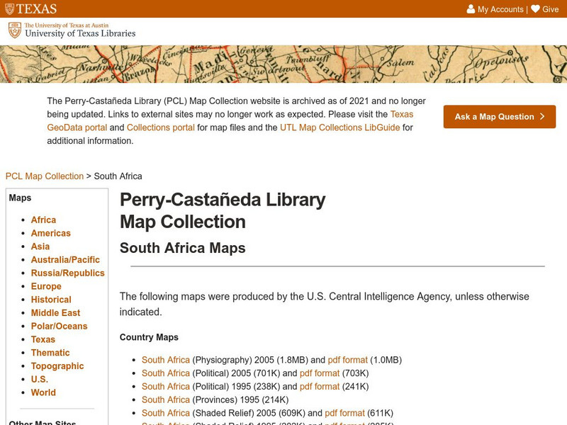
University of Texas: South Africa Map Collection
The Perry-Castaneda Library Map Collection from the University of Texas provides an assortment of maps from South Africa detailing its provinces, politics, and relief. Content also includes various historical, city, and territory maps.
Curated OER
University of Texas: Niger: Political Map
A political map of the west African country of Niger.
Curated OER
Educational Technology Clearinghouse: Maps Etc: Africa After Wwi, 1921
Political map of Africa shortly after WWI showing boundary changes, including losses of German territory after the Treaty of Versailles. German Southwest Africa is shown as part of the Union of South Africa, and German East Africa is...
Curated OER
Educational Technology Clearinghouse: Maps Etc: Political Map of Africa, 1915
A map from 1915 of Africa and Madagascar showing the political boundaries and principal cities throughout the region at the time, including European possessions.
Curated OER
Etc: Maps Etc: Physical and Political Map of Africa, 1879
Map of pre-colonial Africa, showing the predominately native countries and territories of the African continent in 1879. The counties include the Barbary States of Morocco, Algeria, Tunis, Tripoli and Fezzan, the Egyptian territories of...
University of Texas at Austin
The Perry Castaneda Library Map Collection
This collection contains more than 250,000 maps covering all areas of the world, and ranging from political and shaded relief maps to the detailed and the historical. Select from a region of the world or an area of highlighted interest.
Curated OER
Etc: Maps Etc: Political and Physical Africa, 1901
A map from 1901 of the political and physical features of Africa. The map uses color-contouring to show highlands above 2000 feet in buff tints, lowlands in greens, and the submerged part of the continental plateau in light blue. The map...
Curated OER
Educational Technology Clearinghouse: Maps Etc: Africa Prior to Wwi, 1914
A political sketch map of Africa just prior to WWI in 1914, showing the colonial possessions of European powers established at the Berlin Conference of 1885. The map shows the territorial claims of the British, French, German,...
Curated OER
Educational Technology Clearinghouse: Maps Etc: Colonial Africa, 1903
A political map of Africa, as it was in 1903, showing European land claims after the Berlin Conference in 1885. The lack of natural boundaries, that is, boundaries along rivers, mountains, or native lands, shows the European system of...
Curated OER
Educational Technology Clearinghouse: Maps Etc: Pre Colonial Africa, 1870
A physical and political map of Africa prior to the Berlin Conference of 1885, which established the European colonial territory claims on the continent. This map shows the African states of Morocco, Algiers (Algeria), Tripoli, Egypt,...
Curated OER
Etc: Maps Etc: European Possessions of Africa, 1922
A political map of Africa showing European possessions after WWI and the ceding of German possessions in accordance to the Treaty of Versailles. The inset map details the Cape Verde Islands and Senegal, Gambia, and Portuguese Guinea.
Curated OER
Educational Technology Clearinghouse: Maps Etc: Post Wwi Africa, 1920
A political map of Africa in 1920 showing colonial possessions of the British, French, Italian, Portuguese, Spanish, and Belgians, including the former German colonies, lost after WWI, per the Treaty of Versailles.
United Nations
United Nations: Cartographic Section: The World in 1945 [Pdf]
Find out what the political world map looked like after World War II in 1945. Enlarge the map so you can see what countries belonged to the UN, which were still dependent territories, and which did not belong to the UN.
Curated OER
Educational Technology Clearinghouse: Maps Etc: Africa, 1901
A map from 1901 of Africa showing political boundaries and capitals, principal cities and towns, mountain systems, rivers, lakes, and coastal features. The map is color-coded to show the European possessions of the British, French,...
BBC
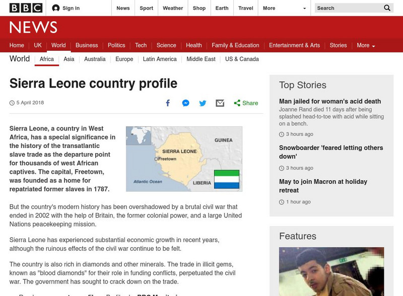
Bbc News: Sierra Leone
A profile of the African country of Sierra Leone. Topics include the usual country 'fast facts', plus history, political leaders, as well as a map of Sierra Leone. Links to related topics are included throughout the site.
Curated OER
Educational Technology Clearinghouse: Maps Etc: Political Colonial Africa, 1916
A political map of the African continent in 1916, showing the European territorial claims established at the Berlin Conference in 1885. This map also shows the territorial enclaves of British Walfish Bay in German Southwest Africa,...
Curated OER
Educational Technology Clearinghouse: Maps Etc: Post Wwi Northern Africa, 1920
A political map of the northern part of the African continent after WWI with reference to territories controlled by European countries and showing the former German territories ceded by the Treaty of Versailles to France and Britain....
Curated OER
Educational Technology Clearinghouse: Maps Etc: Elevations of Africa, 1906
A map of the African continent showing general color-coded elevations, including areas below sea level in purple, lowlands in green, elevations above 1,000 feet in buff, and elevations over 4,000 feet in red. Political divisions of the...
Other
One Party States: 1945 1995: A Map and Graph
A map and table showing the countries that are controlled by one political party and the duration of their control. Map covers period from 1945 to 1995.


