Institute for Geophysics
Understanding Maps of Earth
Here is your go-to student resource on primary geography concepts, including facts about the surface of the earth and its hemispheres, latitude and longitude, globes, types of maps, and identifying continents and oceans.
Oregon State
World Map of Plate Boundaries
Young geologists piece together the puzzle of plate tectonics in an earth science lesson. Given a physical map of the world, they search for land formations that indicate the location of different types of plate boundaries.
Wilderness Classroom
Ocean Life
Our oceans are composed of many complex relationships. Young oceanographers explore relationships between organisms, understand the world ocean's currents, and discover the effects of water pollution and how it behaves. There are...
International Technology Education Association
Pixel This!
Did the image I drew match the image you saw? By simulating a satellite and a ground station, teams of two transmit data in the form of pixels in order to recreate an image. They use four different levels of brightness, creating slightly...
University of Southern California
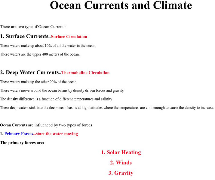
University of Southern California: Ocean Currents and Climate
The climate of our planet is greatly affected by Earth's oceans. Learn here about the different oceanic currents and the role those currents play on climate.
NASA
Planetary Geodynamics Laboratory: Ocean Tides and the Earth's Rotation
An explanation of the effect that the tides have on the Earth's rotation.
Enchanted Learning
Enchanted Learning: Zoom School: Oceans
Find out why the oceans are blue and what causes waves by clicking here. There is a table of information about the four oceans as well as interesting facts on waves, salinity, and tides.


