Hi, what do you want to do?
Johns Hopkins University
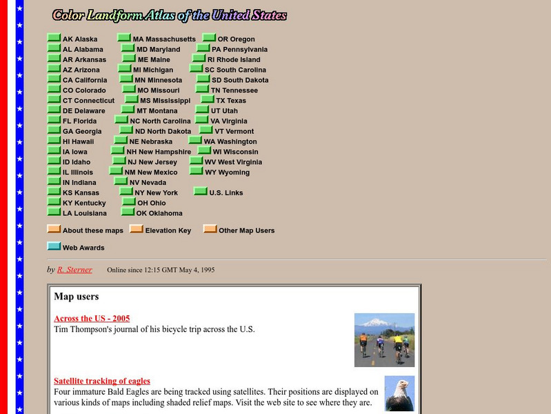
John Hopkins University: Color Landform Atlas of the u.s.
This site from John Hopkins University provides detailed maps of and physical information on each of the 50 states. Maps range from relief maps to satellite images, to historical maps.
Curated OER
Etc: Maps Etc: Physical Features of the United States, 1898
A map from 1898 of the United States showing general elevations, water depths, and terrain features, including the Pacific Slope, Great Basin, Rocky Mountain Plateau, Great Plains, Mississippi Valley, Gulf Plain, Appalachian Highlands,...
Curated OER
Educational Technology Clearinghouse: Maps Etc: The United States, 1899
A map from 1899 of the United States showing the physical features of the area, including mountain systems and highlands, plateaus, basins, plains, lakes, rivers, and coastal features. This map also shows the six conventional state...
Curated OER
Educational Technology Clearinghouse: Maps Etc: The United States, 1890
A map from 1890 of the United States showing physical features, and annual mean temperatures and rainfall. The map shows high mountains and lower ranges, watershed division boundaries, rivers, lakes, coastal features, and is color-coded...
Curated OER
Etc: Maps Etc: Climate and Watersheds of the United States, 1868
A map from 1868 of the United States showing physical features, mean annual temperatures, rainfall distribution, watersheds, and principal products in the area. The average annual temperatures are shown by isotherms, with temperatures...
Curated OER
Educational Technology Clearinghouse: Maps Etc: United States, 1901
A map from 1901 of the United States showing the physical features of the area, including mountain systems and highlands, plateaus, basins, plains, lakes, rivers, and coastal features. The map is color-coded to show land elevations from...
Curated OER
Etc: Maps Etc: Relief of the United States, 1910
A relief map from 1910 of the United States showing the physical features of the New England Highlands, Adirondacks, Appalachian Plateau and Mountains, Piedmont Plateau, Coastal Plains, Lake Superior Highlands, Red River Valley Plains,...
Curated OER
Mountains, Plains, Rivers, Isothermal Lines of the United States, 1873
A map from 1873 of the United States showing the physical features of mountain systems, plateaus, basins, plains, rivers, lakes, and coastal features, with elevations given for prominent peaks given in feet above sea level. The map is...
Curated OER
Educational Technology Clearinghouse: Maps Etc: The United States, 1898
A map from 1898 of the United States showing physical features of mountain systems and highlands, basins, plains, prairies, limits of the glacial terminal moraines, lakes, rivers, and coastal features. The highlands above 2000 feet are...
Curated OER
Educational Technology Clearinghouse: Maps Etc: The United States, 1902
A map from 1902 of the United States showing physical features of mountain systems and highlands, basins, plains, prairies, limits of the glacial terminal moraines, lakes, rivers, and coastal features. The highlands above 2000 feet are...
Curated OER
Etc: Maps Etc: United States Virgin Islands, 1920
A map from 1920 of the U. S. Virgin Islands, showing physical features.
National Weather Service
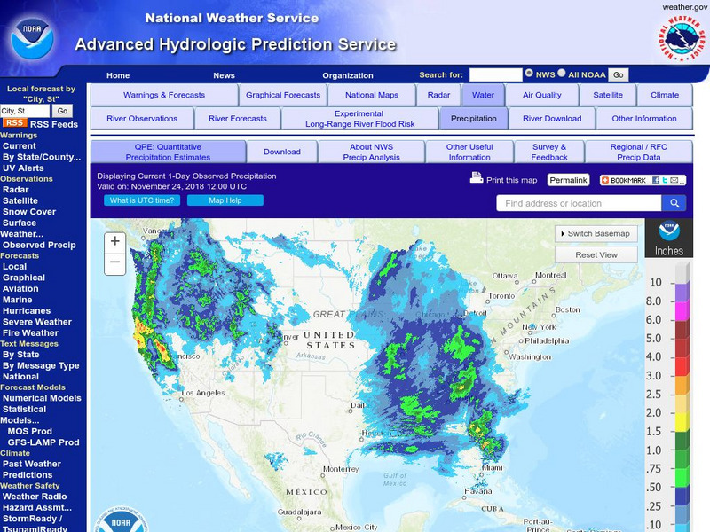
National Weather Service:climate Prediction Center: Daily Precipitation Analysis
Find real-time daily precipitation analysis for the United States, Mexico, and South America as well as accumulated precipitation maps for the past 30 or 90 days.
Geographypods
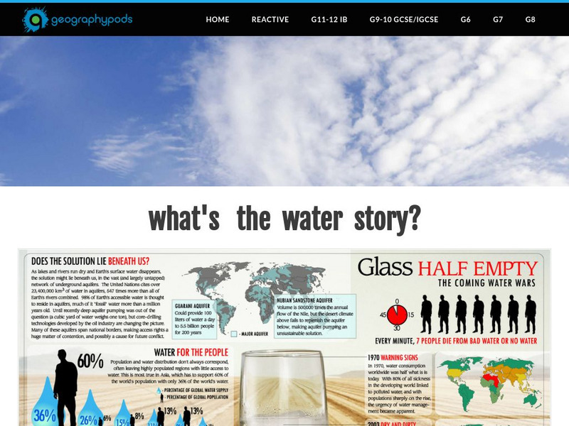
Geographypods:freshwater: Issues and Conflicts: Competing Demands for Freshwater
This learning module examines conflicting demands for fresh water around the world. It looks at the water resources that are available, water scarcity, and local and international conflicts over water. Specific cases are explored,...
HotChalk
Hot Chalk: Lesson Plans Page: Edible Geography
Lesson that helps students understand geography of states by creating an edible map of the state, using real food to indicate parts of the state.
Curated OER
Educational Technology Clearinghouse: Maps Etc: North America, 1915
North America including Canada, the United States, Mexico, Caribbean islands, Central America and a portion of South America, showing physical features.
Alabama Learning Exchange
Alex: Plan the Adventure of a Lifetime With Lewis and Clark
This plan is the first lesson in my unit on Lewis and Clark. This is a project-based, hands-on unit in which students "become" part of the Corps of Discovery - the members traveling in the Lewis and Clark Expedition. In this lesson, the...
ClassFlow
Class Flow: Tornados in the Us
[Free Registration/Login Required] Overview: In this lesson, students will learn the basics about how tornadoes are formed, and when and where they are most likely to occur. They will learn that the United States is the country most...
Other
Kqed: The Lowdown: Life Expectancy: Finding Ratio Relationships
In this interactive map, learn how life expectancy, obesity, hypertension, and physical activity rates have changed dramatically throughout the United States over the last three decades.
PBS
Pbs Learning Media: The Lowdown: Life Expectancy: Finding Ratio Relationships
In this interactive map, learn how life expectancy, obesity, hypertension, and physical activity rates have changed dramatically throughout the United States over the last three decades. The accompanying classroom activity supports...


