Curated OER
University of Texas: Azerbaijan: Political Map
A political map of Azerbaijan from the Perry-Casataneda collection. You can find the major cities, highways, and railroads, as well as some physical features.
Curated OER
University of Texas: Democratic Republic of the Congo: Political Map
A political map the the Democratic Republic of the Congo that shows the province boundaries, major cities and highways, neighboring countries, and significant physical features. From the Perry Castaneda Collection.
Curated OER
University of Texas: Uganda: Political Map
A political map of Uganda showing its major cities and highways, district boundaries, neighboring countries, and physical features. Clicking on the map will enlarge it. From the Perry Castaneda Collection.
Curated OER
University of Texas: Togo: Political Map
This political map of Togo shows its major cities, highways, and neighboring countries along with some physical features. From the Perry Castaneda Collection.
University of Texas at Austin
Perry Castaneda Library Map Collection: Mexico Maps
This site provides a wealth of maps relating to the country of Mexico.
Latimer Clarke Corporation
Atlapedia Online
This site provides both physical and political maps of countries of the world in full color. Also contains key facts and statistics.
BBC
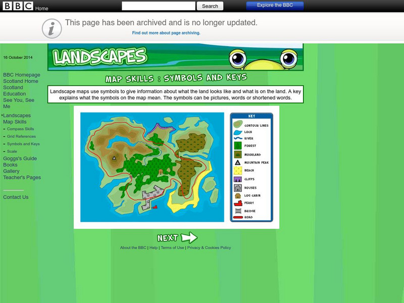
Bbc: Landscapes: Map Skills: Symbols and Keys
A guide for young learners to understand reading maps and their keys.
Latimer Clarke Corporation
Atlapedia Online: Map Index
This website has a political and a physical map index.
Curated OER
Etc: Maps Etc: Physical and Political Map of Africa, 1879
Map of pre-colonial Africa, showing the predominately native countries and territories of the African continent in 1879. The counties include the Barbary States of Morocco, Algeria, Tunis, Tripoli and Fezzan, the Egyptian territories of...
Curated OER
Etc: Maps Etc: Physical and Political Asia, 1870
A map of Asia from 1870 showing country boundaries at the time, major cities, mountain systems, rivers, lakes, deserts, terrain, and coastal features. An inset map details the area of Palestine, and an outline map of Pennsylvania at the...
Curated OER
Political Map of Canada
An index of maps of Canada including physical, political, and outline.
Curated OER
Educational Technology Clearinghouse: Maps Etc: Pre Colonial Africa, 1870
A physical and political map of Africa prior to the Berlin Conference of 1885, which established the European colonial territory claims on the continent. This map shows the African states of Morocco, Algiers (Algeria), Tripoli, Egypt,...
Curated OER
Educational Technology Clearinghouse: Maps Etc: Australia and New Zealand, 1916
A physical and political map of Australia and New Zealand in 1916 showing the states, territories, and divisions of Australia, including the commonwealth claims to southeastern New Guinea. This map also shows color-coded elevations from...
Curated OER
Educational Technology Clearinghouse: Maps Etc: Northwestern South America, 1916
A physical and political map of northwestern South America in 1916 showing the boundaries for Columbia, Venezuela, the Guianas, Ecuador, Peru, and Bolivia at the time. The map uses color-contouring to show elevations from sea level to...
Curated OER
Educational Technology Clearinghouse: Maps Etc: British Isles, 1916
A physical and political map of the British Isles, showing England, Wales, Scotland, and Ireland, with major cities and towns, and railroads. General land form features are also shown, including color coded elevation gains measured in...
Curated OER
Educational Technology Clearinghouse: Maps Etc: Europe, 1870
A physical and political map showing country boundaries of Europe as they existed in 1870, including major cities, rivers, and landforms.
Curated OER
Etc: Maps Etc: Political and Physical Africa, 1901
A map from 1901 of the political and physical features of Africa. The map uses color-contouring to show highlands above 2000 feet in buff tints, lowlands in greens, and the submerged part of the continental plateau in light blue. The map...
Curated OER
Educational Technology Clearinghouse: Maps Etc: New Zealand, 1904
A geo-political map of New Zealand current to 1904, showing major cities, railroad lines, and navigable rivers. Physical features include mountain ranges with elevation measured in feet, major rivers and watersheds, and the 100-fathom...
Curated OER
Educational Technology Clearinghouse: Maps Etc: Scotland, 1904
A geo-political map of Scotland that shows district borders current to 1904, major cities, railroad lines, canals and navigable rivers. Hadrian's Wall is shown, referred to on the map as the Roman Wall. Physical features such as mountain...
Curated OER
Educational Technology Clearinghouse: Maps Etc: England and Wales, 1904
A geo-political map of England and Wales that shows country borders current to 1904, major cities, railroad lines, canals and navigable rivers. Hadrian's Wall is shown, referred to on the map as the Roman Wall. Physical features such as...
Curated OER
Educational Technology Clearinghouse: Maps Etc: Italy, 1904
A geo-political map of Italy showing country and region borders current to 1904, major cities, railroad lines, and navigable rivers. Physical features include mountain ranges with elevation measured in feet, major rivers and watersheds,...
Curated OER
Educational Technology Clearinghouse: Maps Etc: Ireland, 1904
A geo-political map of Ireland that shows province and county borders current to 1904, major cities, railroad lines, canals and navigable rivers. Physical features such as mountain ranges with elevation measured in feet, major rivers,...
Curated OER
Educational Technology Clearinghouse: Maps Etc: Switzerland, 1904
A geo-political map of Switzerland that shows canton and country borders current to 1904, major cities, tunnels and railroad lines. Physical features such as mountain ranges with elevation measured in feet, glaciers, and major rivers....
PBS
Pbs: Geography of Music the World in the Age of Revolutions
This interactive map helps illuminate the relationships among the various composers as well as connections between music and its historical and cultural context. It also illustrates the importance of the physical and cultural...


