Curated OER
Educational Technology Clearinghouse: Maps Etc: Plan of Pittsburgh, 1903
A plan of Pittsburgh from 1903 showing principal streets, railroads and stations, bridges, and landmarks. "Pittsburgh, the second largest city of Pennsylvania, and the leading iron, steel, and glass manufacturing center of the United...
Curated OER
Educational Technology Clearinghouse: Maps Etc: Philadelphia and Vicinity, 1872
A map from 1872 of the vicinity of Philadelphia. "Philadelphia City, now the second in size and population in the United States, is situated between the Delaware and Schuylkill Rivers, five miles above their junction, and 120 miles, by...
University of Virginia
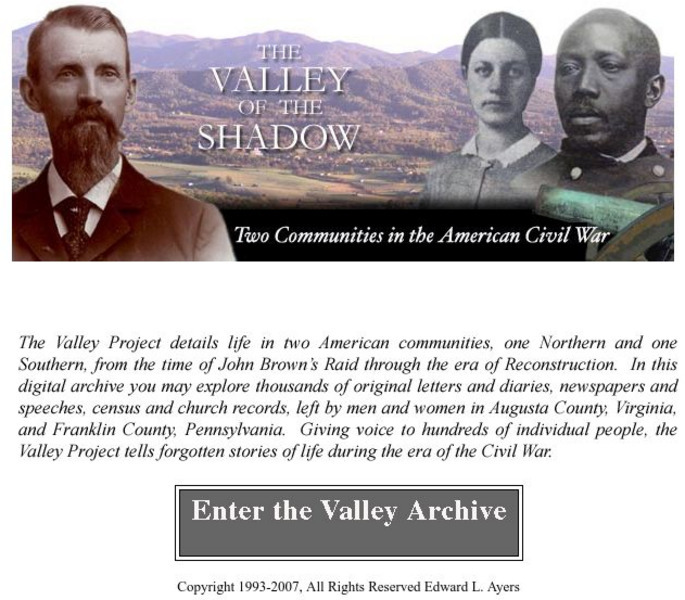
Virginia Center for Digital History: The Valley of the Shadow
This is a must-have site for the study of the Civil War. Students will have access to primary documents from many sources, including: census and veteran records, letters and diaries, newspapers, and church records. This Project explores...
Curated OER
Educational Technology Clearinghouse: Maps Etc: United States, 1821
A map of the United States and territories in 1821 after the Missouri Compromise, showing the Free States and territories, the Slave States and territories, and the transitional territories at the time. The map is color-coded to show the...
Curated OER
Etc: Maps Etc: Native Territories and European Possessions in Africa, 1876
A map of Africa in 1876 showing native African States and European possessions of Britain, France, Spain and Portugal prior to the Berlin Conference of 1885. On this map, European possessions include Algeria, Cape Colony, Griquala Land...
Curated OER
Etc: American Revolution in the the Middle States, 1774 1783
A map of America's middle states during the time of the American Revolution, including New York, Pennsylvania, New Jersey, Delaware, Maryland, and part of Virginia and North Carolina. The map shows major cities, towns, forts, battle...
Curated OER
Etc: The Campaigns in the Middle States, 1777 1778
A map of parts of New York, New Jersey, Pennsylvania, and Maryland involved in the early years of the American Revolutionary War. The map shows cities and towns, rivers and terrain, forts, and battle sites of the region, including Crown...
Curated OER
Etc: The Center of Population in the United States, 1790 1900
Shows dates that states of Indiana, Maryland, Ohio, Pennsylvania, Washington D.
Curated OER
Educational Technology Clearinghouse: Maps Etc: Pre Colonial Africa, 1870
A physical and political map of Africa prior to the Berlin Conference of 1885, which established the European colonial territory claims on the continent. This map shows the African states of Morocco, Algiers (Algeria), Tripoli, Egypt,...
Curated OER
Etc: Maps Etc: Mexico, Central America, and the West Indies, 1906
A map from 1906 of Mexico, Central America, and the West Indies showing the political boundaries at the time, capitals and major cities, mountain systems, coastal features, and islands of the region. An inset map shows the entire North...
Curated OER
Educational Technology Clearinghouse: Maps Etc: Colonial Africa, 1904
A map of Africa shortly after the Berlin Conference of 1885, which established the European colonial territory claims on the continent. These European and independent boundaries include Algeria and the Saharan Sphere of French Influence,...
Curated OER
Educational Technology Clearinghouse: Maps Etc: Alaska, 1910
A map of Alaska from 1910 showing the State capital at Juneau, cities, towns, ports, major rivers and mountains with elevations of prominent peaks given, coastal features, and islands. The map includes an outline map of Pennsylvania at...
Curated OER
Educational Technology Clearinghouse: Maps Etc: Mexico and Central America, 1910
A map from 1910 of Mexico and Central America showing political boundaries at the time, capitals and major cities, rivers, terrain and coastal features, reefs, and neighboring islands (Cuba and Jamaica). A map note shows the Panama Canal...
Cayuse Canyon
The Us50
This clickable map of the United States gives students access to research information from history and tourism to attractions and famous historic figures.
Curated OER
Etc: Boundary Dispute Between Md and Pa, 1681 1767
A map showing the boundary dispute between the British colonies of Pennsylvania, Maryland, and Delaware between 1681 and 1767. The map shows the lands in dispute, as English King Charles II paid his debt to William Penn by issuing him a...
Curated OER
Etc: Seat of War in the East , 1861 1865
A map showing the seat of the American Civil War (1861-1865) in the east. The map shows the principal areas of conflict from southern Pennsylvania (Harrisburg and Gettysburg) south to the South Carolina State Line, showing major cities...
Curated OER
Etc: Chesapeake Bay Settlements Jamestown & Richmond, 1607 1611
A map of the Chesapeake Bay and Pamlico Sound region showing the early English settlements of Jamestown and the Falls (Richmond). The map shows rivers and coastal features, and the modern State boundaries of Pennsylvania, Delaware,...


