Curated OER
Where in the Latitude Are You? A Longitude Here.
Students distinguish between latitude and longitude on the map. In this mapping lesson, students participate in mapping skills to recognize spatial relationships, and where to find natural resources on the map. Students create...
National Geographic
Australia, Antarctica, and Oceana
Go on a traveling adventure throughout Australia, Oceana, and Antarctica! This textbook excerpt offers a full unit of study that can easily be supplemented by extra projects or research materials. Learners study maps, read about...
Global Oneness Project
Highways and Change
What is the cost of change? Roberto Guerra's photo essay "La Carretera: Life and Change Along Peru's Interoceanic Highway" asks viewers to consider the impacts of the 1,600 mile-long highway through Peru and Brazil that connects Pacific...
Association of Fish and Wildlife Agencies
Schoolyard Biodiversity Investigation Educator Guide
In 1980, in the tropical rainforests of Panama, scientists discovered 1,200 species of beetles living in and around just 19 trees, with most of the species new to science—that's biodiversity! In the activity, learners work in teams to...
Curated OER
Ring of Fire
Students locate some of the 1,500 active volcanoes on a world map. Then by comparing their maps with a map of the world's tectonic plates, they discover that volcanoes occur because of the dynamic nature of the Earth's lithosphere.
Curated OER
Landforms: Geomorphology of Arkansas
Second graders create large, salt dough maps of Arkansas and the natural regions in the state created by geographical and morphological features.
Curated OER
Graphin' And Glyphin' Utah Weather
Fourth graders investigate the concepts of looking at sets of data. The focus of the study is upon the local weather of Utah. They study the weather found in the city and in the country and make comparisons based upon geographical location.
Curated OER
Oceans
First graders recognize that nearly three quarters of the Earth is covered by ocean. They locate the Pacific, Atlantic, Indian, Arctic and Antarctic oceans on a map. They describe the difference between ocean water and fresh water.
Science Matters
Spaghetti Fault Model
Does increasing the pressure between two moving plates provide a stabilizing force or create more destruction? The hands-on lesson encourages exploration of strike-split fault models. The sixth lesson in a 20-part series asks...
Curated OER
Green Transportation System
Consider the effects of green transportation. In this environmental stewardship lesson plan, determine how transportation has changed throughout history and then collaborate to solve New York City transportation issues.
US Geological Survey
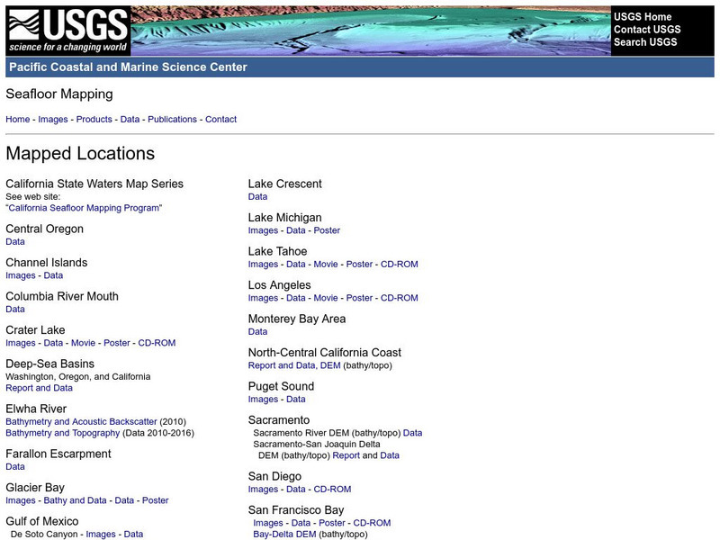
Usgs: Pacific Seafloor Mapping Project
This site describes the details of a project to map the seafloor of the Pacific Ocean. Includes images, movies, links to related information, and more.
TeachEngineering
Teach Engineering: Air Pollution in the Pacific Northwest
Students are introduced to measuring and identifying sources of air pollution, as well as how environmental engineers try to control and limit the amount of air pollution. In Part 1, students are introduced to nitrogen dioxide as an air...
TeachEngineering
Teach Engineering: Digital Mapping and Geographic Information Systems (Gis)
Geographic information systems (GIS), once used predominantly by experts in cartography and computer programming, have become pervasive in everyday business and consumer use. This unit explores GIS in general as a technology about which...
Science Buddies
Science Buddies: Ring of Fire 1: What Volcanoes Tell Us About Plate Tectonics
The Ring of Fire is a region of volcanic and earthquake activity that surrounds the Pacific Ocean. In this project you can explore the connection between plate tectonics and volcanic activity by mapping historical data.


