Stanford University
Stanford University Library: Hart Project
Explore the collection of 364 photographs which are plotted within this 3-D map experience recreating Alfred A. Hart's journey along the Central Pacific Railroad. The goal of his 1860s expedition was to solicit investment in the...
TeachEngineering
Teach Engineering: Air Pollution in the Pacific Northwest
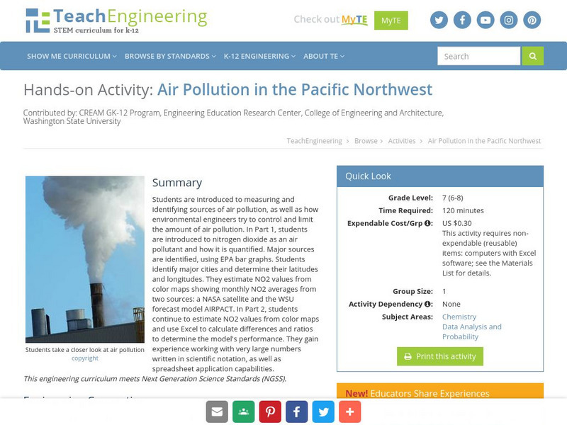
Students are introduced to measuring and identifying sources of air pollution, as well as how environmental engineers try to control and limit the amount of air pollution. In Part 1, students are introduced to nitrogen dioxide as an air...
TeachEngineering
Teach Engineering: Digital Mapping and Geographic Information Systems (Gis)
Geographic information systems (GIS), once used predominantly by experts in cartography and computer programming, have become pervasive in everyday business and consumer use. This unit explores GIS in general as a technology about which...
University of Washington
Pacific Northwest Labor and Civil Rights Projects: Seattle General Strike
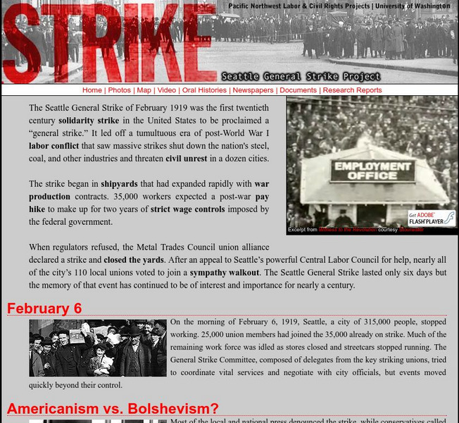
A comprehensive look at the Seattle General Strike, which began in February, 1919. Here you will find an explanation of why the strike began, an interactive map of the location of important events, oral histories, contemporary newspaper...
Curated OER
Educational Technology Clearinghouse: Maps Etc: The Isthmus of Tehuantepec, 1852
A map from 1852 of the Isthmus of Tehuantepec in Mexico, showing the proposed railroad route connecting the Gulf of Mexico and the Pacific. This was an alternative proposal to the construction of the Panama or Nicaragua canals, and was...
Science Buddies
Science Buddies: Ring of Fire 1: What Volcanoes Tell Us About Plate Tectonics
The Ring of Fire is a region of volcanic and earthquake activity that surrounds the Pacific Ocean. In this project you can explore the connection between plate tectonics and volcanic activity by mapping historical data.
Curated OER
Etc: Proposed Isthmian Canal Routes, 1848 1884
A map of the proposed isthmian canal routes in Nicaragua and Panama between 1848-1884. The map shows the two chief proposals, the Nicaraguan from Greytown on the Caribbean to Lake Nicaragua and Brito on the Pacific, and the Panama...


