Hi, what do you want to do?
University of Texas at Austin
Perry Castaneda Library Map Collection: u.s. Maps
At this site find any type of map on the U.S. and any of its states here. Great site for teachers to print out maps to use in the classroom.
Nations Online Project
Nations Online: Nauru
Features a country profile of the smallest republic in the world, Nauru, background details, and numerous links to in-depth information on the nation's culture, history, geography, economy, environment, population, news, government,...
Other
Map of the First and Second Voyages of Vitus Bering
This is simply a black and white map tracing Vitus Bering's two Nordic Expeditions, or ?Kamchatka? Expeditions, which ended in his death in 1741. Students may want to print the map or use as a guide with other resources.
Nations Online Project
Nations Online: American Samoa
Offers a country profile and travel guide to American Samoa, background overview, and numerous links to comprehensive information on the nation's culture, history, geography, economy, environment, tourism, population, news, government,...
CK-12 Foundation
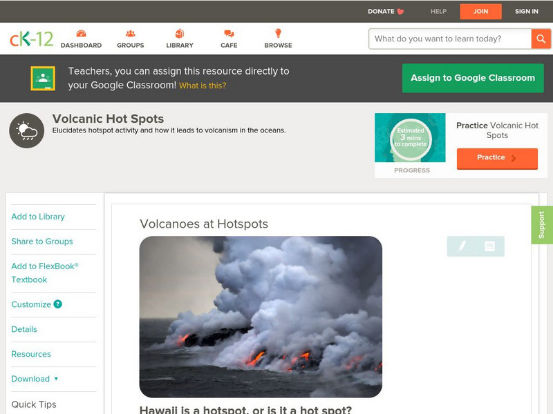
Ck 12: Earth Science: Volcanoes at Hotspots
[Free Registration/Login may be required to access all resource tools.] Volcanoes can form at hotspots away from plate boundaries. This article discusses hotspot activity and how it leads to volcanism in the oceans.
Smithsonian Institution
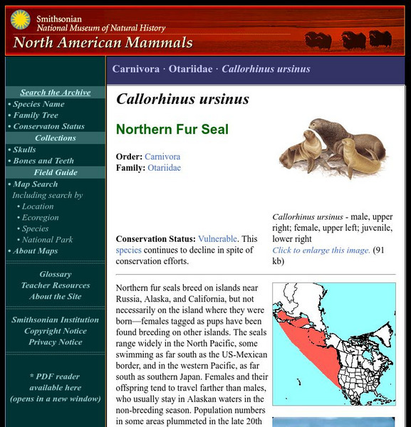
National Museum of Natural History: American Mammals: Northern Fur Seal
Northern fur seals breed on islands near Russia, Alaska, and California, but not necessarily on the island where they were born females tagged as pups have been found breeding on other islands. The seals range widely in the North...
Blackdog Media
Classic Reader: Typee: A Romance of the South Sea by Herman Melville
Read the full text of "Typee: A Romance of the South Sea" by Herman Melville. This was Melville's first book and is partly based on his experiences living on an island in the South Pacific.
Curated OER
Etc: Maps Etc: Mexico, Central America, and the West Indies, 1898
A map from 1898 of Mexico, Central America and the West Indies. The map includes an inset map of Cuba and the Isthmus of Nicaragua. "The surface of the Rocky Mountain highland in Mexico is quite similar to that of the great plateau...
Curated OER
Educational Technology Clearinghouse: Maps Etc: Drawing North America, 1872
A map exercise from 1872 for drawing North America. The map shows the general outline of the coasts, major waters and rivers, and a vertical profile cross-section of the continent from the San Francisco Bay area to Cape Hatteras....
Curated OER
Educational Technology Clearinghouse: Maps Etc: Peru and Bolivia, 1906
A map of Peru and Bolivia from 1906 showing the political boundaries at that time. The map shows the capital cities of Lima (Peru) and La Paz (Bolivia), major cities, towns, and ports, railroads, rivers, lakes, mountains and terrain, and...
Curated OER
Educational Technology Clearinghouse: Maps Etc: Asia (Physical), 1868
A map from 1868 of Asia showing physical features and natural resources of the region. The map shows political boundaries of the time, with capitals, major cities, and ports. The map shows mountain systems with black lines of variable...
Curated OER
Etc: Maps Etc: The Dominion of Canada and Newfoundland, 1912
A map from 1912 of the Dominion of Canada and Newfoundland (Newfoundland and Labrador did not become a province of Canada until 1949). The map shows the province boundaries at the time, major cities and towns, mountain systems, rivers,...
Curated OER
Etc: Maps Etc: Southern Part of South America, 1922
A map from 1922 of the southern part of South America from Santos on the Atlantic and Iquique on the Pacific south to Tierra del Fuego. The map shows the political boundaries at the time for Argentina, Paraguay, Uruguay, and the southern...
Curated OER
Etc: Maps Etc: Isthmus With Completed Panama Canal, 1914
A map from 1914 of the completed canal across the Isthmus of Panama. The map shows the Caribbean Sea entrance at Colon, the route of the canal through Gutan Lake and lock system, the Pacific entrance at the city of Panama, the Canal Zone...
Curated OER
Educational Technology Clearinghouse: Maps Etc: Japan, 1912
Composed of more than 3000 islands, Japan extends along the Pacific coast of Asia.
Curated OER
Educational Technology Clearinghouse: Maps Etc: Southern South America, 1920
A map from 1920 of the southern part of South America from Sao Paulo on the Atlantic and Iquique on the Pacific south to Tierra del Fuego. The map shows the political boundaries at the time for Argentina, Paraguay, Uruguay, and the...
Curated OER
Educational Technology Clearinghouse: Maps Etc: Southern South America, 1914
A map from 1914 of the southern part of South America from Victoria, Brazil on the Atlantic and Iquique, Chile on the Pacific south to Tierra del Fuego. The map shows the political boundaries at the time for Argentina, Paraguay, Uruguay,...
Curated OER
Etc: Maps Etc: South America (Southern Part), 1920
A map from 1920 of the southern part of South America from Sao Paulo on the Atlantic and Iquique on the Pacific south to Tierra del Fuego. The map shows the political boundaries at the time for Argentina, Paraguay, Uruguay, and the...
Curated OER
Unesco: Colombia: Malpelo Fauna and Flora Sanctuary
Located some 506 km off the coast of Colombia, the site includes Malpelo island (350 ha) and the surrounding marine environment (857,150 ha). This vast marine park, the largest no-fishing zone in the Eastern Tropical Pacific, provides a...
Curated OER
Science Kids: Science Images: Palau Flag
The national flag of Palau, a small island country found in the Pacific Ocean.
Curated OER
Science Kids: Science Images: Tonga Flag
The national flag of Tonga, an archipelago of over 150 islands located in the South Pacific Ocean.
Other popular searches
- Asia & Pacific Islands
- South Pacific Islands
- Pacific Islands New Zealand
- Pacific Islands Art
- Pacific Islands Music
- Imperialism Pacific Islands
- Cultures Pacific Islands
- Mythology Pacific Islands
- Pacific Islands New Zeal And
- Pacific Islands Geography


