Curated OER
Reading Keep the Lights Burning, Abbie
Students explore Keep the Lights Burning, Abbie. For this reading comprehension lesson, students answer questions and define vocabulary words before, during, and after reading the book Keep the Lights Burning, Abbie.
Curated OER
Indian Women in Texas History
Fourth graders study Indian women in Texas. In this US history lesson, 4th graders discuss what each Indian woman's contribution was by completing a timeline and table. Students examine the Caddo Women's pottery tradition...
Curated OER
Exploring the Night Sky: Summer
Learners explain how moon phases occur. They describe and explain at least two common misconceptions that people have about the moon. Students explain what a star is. They explain 3 ways that the night sky has been used throughout history.
Curated OER
Lincoln Home National Historic Site
Students investigate the community in which Lincoln and his family lived and explore how the citizens felt about him. The national issues that inspired Lincoln to act decisively in politics and that propelled him to the White House are...
Curated OER
Historical Figures
Second graders identify a historical figure, his or her societal contributions and basic biography using a Kidspiration graphic organizer and library resources. They use the Internet to conduct an historical treasure hunt in groups.
Curated OER
The President's Cabinet
Eighth graders obtain information about the President's Cabinet by using a template, and exploring the bookmarked Internet sites.
Curated OER
It's Not My Problem!
Students examine how rivers flow through the country to sea level. Students study how upstream pollution effects the water and people downstream.
Curated OER
Africa - Comparison and Contrast Paper
Students discuss as a class different locations in Africa and choose two locations to use for a Venn Diagram for comparison. They then write their comparison and contrast paper over the two locations they chose in Africa.
Curated OER
My Wilderness Adventure
Students use a story starter and given questions to continue their adventure. They use the Internet and books to research about winter survival skills, how to find food, water and shelter in the snowy mountains and discover information...
University of Texas at Austin
Ut Library: Perry Castaneda Maps of Alabama
Here you will find state and city maps (including outline and topographical maps) of Alabama. Also includes historical maps and maps of Alabama's National Parks.
Science Education Resource Center at Carleton College
Serc: State Map Poster
This is a project where young scholars pick a state, study its landforms and data about its geology, and produce a poster that outlines how the state's geography evolved over time. An example of such a poster is provided on a...
abcteach
Abcteach: Maps
[Free Registration/Login Required] Find outline maps of the continents and the United States and Canada, as well as other country and city maps.
University of Texas at Austin
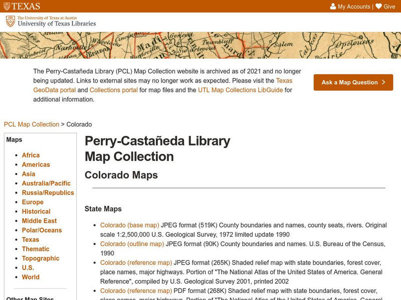
University of Texas: Perry Castaneda Library: Colorado Maps
Features a vast collection of a variety of different maps all representing the state of Colorado. View state maps, city maps, historical maps, National Park maps, and more.
PBS
Pbs Learning Media: Is This a Map of the Underground Railroad?
In this segment from History Detectives, Anne Zorela, a map collector, believes she's found a map that outlines the routes of the Underground Railroad.
Texas State Historical Association
Texas State Historical Association: Texas Geology Map [Pdf]
A black and white outline map that can be colored in, using the key provided, to show the geologic periods in Texas history. A full color map is available in the Texas Almanac, which is free to download from the main website.
Texas State Historical Association
Texas State Historical Association: Texas Rivers Map [Pdf]
A blank outline map showing the major rivers of Texas. A full color, labeled map of these rivers is available in the Texas Almanac, which is free to download from the main website.
Texas State Historical Association
Texas State Historical Association: Texas Counties Map [Pdf]
A blank outline map showing the many counties of Texas. A full color, labeled map of the counties is available in the Texas Almanac, which is free to download from the main website.
University of California
Us Geological Survey: Cartogram Central
The USGS offers detailed information on Types of Cartograms, Congressional Districts, Software for Cartograms, Publications, and a Carto-Gallery.
Curated OER
Etc: Maps Etc: Physical and Political Map of Africa, 1879
Map of pre-colonial Africa, showing the predominately native countries and territories of the African continent in 1879. The counties include the Barbary States of Morocco, Algeria, Tunis, Tripoli and Fezzan, the Egyptian territories of...
50 States
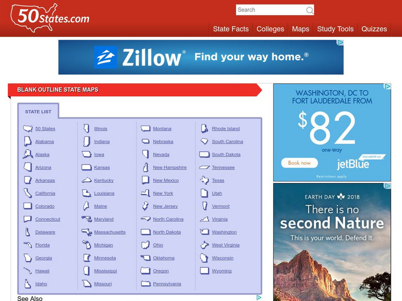
50 States: Blank Outline State Maps
All fifty states are linked here to outline maps of each. Also includes outline map of the United States.
Johns Hopkins University
Johns Hopkins University: Arkansas State Maps
Learn more about the Arkansas' geography through the maps at this website from the Johns Hopkins University Applied Physics Laboratory. These maps give in depth information on the landforms found in Arkansas.
Johns Hopkins University
Johns Hopkins University: Arkansas State Maps
Learn more about the Arkansas' geography through the maps at this website from the Johns Hopkins University Applied Physics Laboratory. These maps give in depth information on the landforms found in Arkansas.
National Geographic
National Geographic: Map of Nebraska
Basic outine map of the state of Nebraska, including major cities.


