Hi, what do you want to do?
Curated OER
Educational Technology Clearinghouse: Maps Etc: Philippine Islands, Circa 1906
An outline map from 1906 of the Philippine Islands, showing the major island names and surrounding seas. The map shows the provinces of the main island of Luzon at the time and the railway from Manila to Dagupan on the Lingayen Gulf.
Curated OER
Educational Technology Clearinghouse: Maps Etc: Ancient Italy, 753 Bc to Ad 663
A map of ancient Italy subtitled "Places noted in the History of its Literature." This map shows the districts of Cisalpine Gaul, Umbria, and Etruria, the islands of Corsica, Sardinia, and Sicily, major cities, rivers, seas, and mountain...
Curated OER
Educational Technology Clearinghouse: Maps Etc: Philippine Islands, 1914
A map from 1914 of the Philippine Islands. The map shows the major islands and surrounding seas, cities, towns, and ports, railroads, submarine telegraph cables to Hong Kong, Guam, San Francisco, and through the islands, province...
Curated OER
Educational Technology Clearinghouse: Maps Etc: Philippine Islands, 1912
A map from 1912 of the Philippine Islands, showing the major islands, cities, coastal features, and surrounding seas. The map shows the railways on Luzon at the time, including the route from Manila to Lingayen in the north, and from...
Curated OER
Etc: Maps Etc: Philippine Islands and the China Sea, 1901
A map from 1901 of the Philippine Islands as a possession of the United States under the Treaty of Paris at the end of the Spanish-American War (December 10, 1898). The map shows the major islands, cities and ports, terrain, rivers,...
Curated OER
Etc: Reference Map of Greece, 1600 265 Bc
A reference map of ancient Greece showing the Greek political territories of Peloponnese, the southern Balkan Peninsula, islands of the Ionian and Aegean seas, and coastal Asia Minor. A numeric reference key shows the location of the...
Curated OER
Educational Technology Clearinghouse: Maps Etc: Russia, 1920
A map from 1920 of western Russia showing the political divisions within the country at the time. The map is color-coded to show the boundaries of European Russia, including the territories of Finland, the Baltic Provinces, Poland, White...
American Museum of Natural History
American Museum of Natural History: Milstein Hall of Ocean Life
Tour the museum's famed exhibition hall dedicated to ocean life at this online recreation. Find videos, maps, species specimens, and images that let you experience many of the museum's resources on ocean life right from your desktop.
SMART Technologies
Smart: World Map
This lesson features a world map with labeled countries, a global map, and an interactive map of the seven continents.
National Earth Science Teachers Association
Windows to the Universe: Changing Planet: Sea Levels Rising
Young scholars review topographic maps and use that knowledge to explore the impact sea level rise will have on coastal communities.
Extreme Science
Extreme Science
Explore the science behind the "extremes" in our world. Organized into sections on earth science, the animal kingdom, technology, and space science, this site opens your eyes to giant creatures, amazing technological advances, vast...
Exploratorium
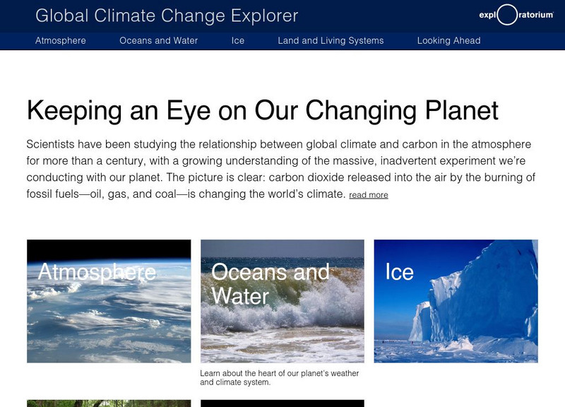
Exploratorium: Global Climate Change: Research Explorer
Explore scientific data relating to the atmosphere, oceans, areas covered by ice, and living organisms in all these domains. Interpret past and present climate data to predict future climate change and its possible effects.
Curated OER
Rice University: Ocean Currents and Tides
This URL will start you out at the site map for Rice University's study of longitude and navigation. Scroll to the section titled "Oceans" and you will find some very good information on surface currents, especially those of the South...
Other
Noaa: Large Marine Ecosystems of the World
A detailed look at large marine ecosystems throughout the world. See animated maps showing the growth of chlorophyll in oceans, seas, and river systems.
University Corporation for Atmospheric Research
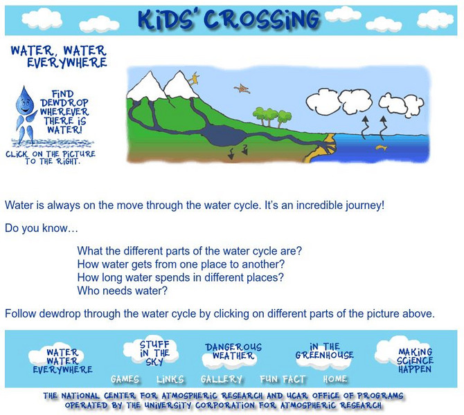
Ucar: Water, Water Everywhere
Dewdrop teaches the water cycle through this interactive map of rivers, oceans, groundwater, the atmosphere, and glaciers.
Other
Sea Turtle Conservancy: List of Sea Turtle Tracking Projects
Sea Turtle Conservancy is devoted to the conservation and tracking of sea turtles, this site links found along the left menu. Join a group, follow a tagged turtle via maps, learn about the challenges faced by the sea turtles, and the...
Central Intelligence Agency
Cia: World Factbook: Indian Ocean
This resource presents a general overview of the Indian Ocean's impact on our world. It includes maps and information on transportation, economy, elevation extremes, and more.
Enchanted Learning
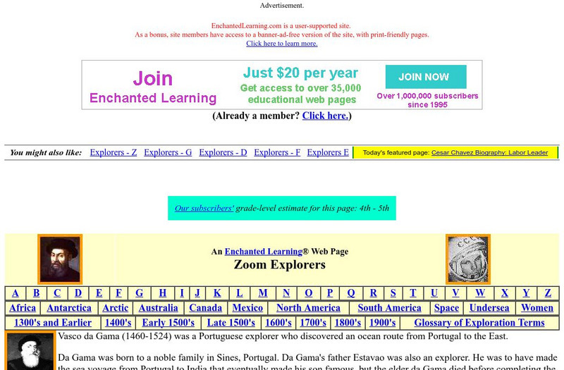
Enchanted Learning: Vasco Da Gama: Explorer
A short biography of Vasco da Gama, along with a map activity that involves labeling the oceans, and the route he took around the tip of Africa to India.
Other
The Wonders of Eurasia on Kamchatka
"Kamchatka, a peninsula comparable in size to Japan, is washed by the Pacific Ocean and the Bering and Okhotskoe Seas." This site provides good geographical information about Eurasia with clickable links for maps and more related pages.
Curated OER
The Wonders of Eurasia on Kamchatka
"Kamchatka, a peninsula comparable in size to Japan, is washed by the Pacific Ocean and the Bering and Okhotskoe Seas." This site provides good geographical information about Eurasia with clickable links for maps and more related pages.
Curated OER
The Wonders of Eurasia on Kamchatka
"Kamchatka, a peninsula comparable in size to Japan, is washed by the Pacific Ocean and the Bering and Okhotskoe Seas." This site provides good geographical information about Eurasia with clickable links for maps and more related pages.
Curated OER
The Wonders of Eurasia on Kamchatka
"Kamchatka, a peninsula comparable in size to Japan, is washed by the Pacific Ocean and the Bering and Okhotskoe Seas." This site provides good geographical information about Eurasia with clickable links for maps and more related pages.


