Hi, what do you want to do?
Curated OER
El Nino Lesson
Students compare graphs of weather occurrences. For this environmental lesson plan, students will being using the website to gather weather related information for a certain time period. The students will then graph the data that will be...
Curated OER
Poetry in Motion
In this poetry analysis worksheet, students analyze "From a Railway Carriage" by Robert Louis Stevenson. Students answer 5 questions about the poem.
Curated OER
Natural Hazards
Young scholars evaluate the hazards of naturally occurring events. After watching a video concerning safety hazards, students work in groups to discuss the safety issues involved in taking a trip to a mountainous region. ...
Curated OER
The Arctic Ocean
In this Arctic Ocean worksheet, students read a 2 page passage, then complete 10 true/false questions. Answers are included on page 4. A reference web site is given for additional activities.
Alabama Learning Exchange
Researching Hurricanes with Technology
High schoolers explain the components that make up a hurricane.
Curated OER
Biodiversity
Students explore the diversity of different marine sanctuaries. In this biodiversity instructional activity students work in groups to explore a sanctuary.
Curated OER
Europeans in the New World
In this world history worksheet, students utilize a word bank of 10 terms or phrases to answer 10 fill in the blank questions about the Europeans settlement of the New World. A short answer question is included as well.
Curated OER
NASA's Mars Gamble Pays Off Part 2
Tenth graders explore the planet of Mars. In this Earth Science lesson, 10th graders read articles on the make up of Mars. Students complete a worksheet on their reading.
Curated OER
Bank On It! Antarctica
In this vocabulary instructional activity, students read an informational paragraph about Antarctica. Students then fill in the 17 blanks with words from the word bank.
Curated OER
Fallout!
Learners plot the locations of fallout from two disasters that polluted much of the world's air. They plot the ash fallout from the 1980 Mt. St. Helen's eruption to see what the wind patterns in the United States look like overall. Next...
Curated OER
The Adventure of Echo the Bat
Students compare different habitats based on satellite imagery. They identify land features in the satellite imagery.
Curated OER
Whales in Canada
Students examine whales that live off the coasts of Canada in several different suggested activities using a poster Whales of Canada from "Canadian Geographic". Many activities have links to additional resources.
Curated OER
Regions of South America
Students explore facts about South America in the four lessons of this unit. Booklets are created from the materials produced as the class delves into the topic.
Curated OER
Geography Overview
Second graders look at the United States often over the next few months. Help them to see how the United States has changed as territories have become states. They may be surprised to know the areas of our country that were territories...
Curated OER
Current Weather Condition Site Selection
Pupils work together to agree on the days "preferred weather conditions." They choose a city in the world they think will have the preferred current weather conditions.
Curated OER
Monitor Marine Migrants
Students, in groups, track the seasonal journey of a species, such as a shorebird, sea turtle, or marine mammal, using various sources of migration data
National Geographic
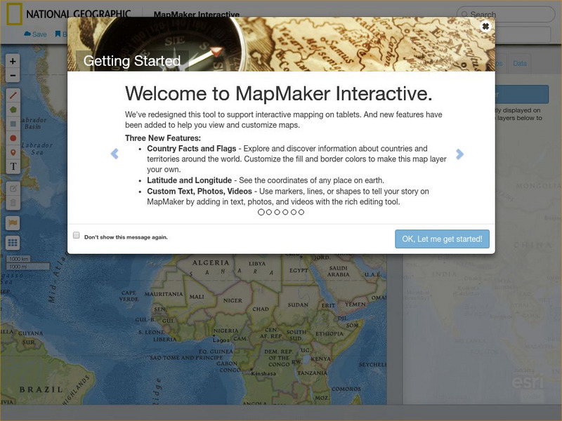
National Geographic: Map Maker Interactive and 1 Page Map Maker
This National Geographic feature allows visitors to create their own world maps complete with capitals, oceans, climate information, satellite view, personalized trail markings and more. Choose from a detailed color map or the second...
National Geographic
National Geographic: My Wonderful World: World Wall Maps (Pdf)
Make your own full color or black and white mosaic wall map on your own printer. World maps, continents, Asian regions, and oceans are available for downloading, printing, and assembling.
Missouri Botanical Garden
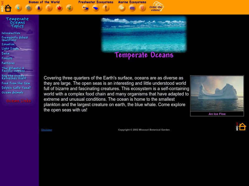
Missouri Botanical Garden: Temperate Oceans
How are the Atlantic and Pacific oceans different? At this site from the Missouri Botanical Garden you can click on the "Atlantic and Pacific Oceans," link to learn all about this topic. Study the two animated illustrations given to...
Exploring Nature
Exploring Nature Educational Resource: Oceans of the World
A set of illustrated fact pages, and some activity sheets, on coral reefs, tidal pools, and ocean ecosystems. Find maps, graphic organizers, and a movie link to tidal zones. Hyperlinks to specialized vocabulary words are also provided....
Houghton Mifflin Harcourt
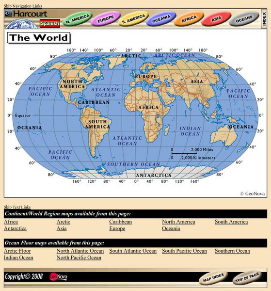
Harcourt: School Publishers: World Atlas: The World
Provides continent, country, and ocean floor maps from all over the world. Click on a continent's name to access the detailed maps which also include statistical facts on each available country.
NASA
Nasa Earth Observatory: Global Maps: Sea Surface Temperature
This global map from NASA's Earth Observatory shows the sea surface temperature from July 2002 to October 2008. Learn the influences that sea surface temperature has on climate and weather.
Geographyiq
Geography Iq
Detailed geographical information on any country is available at this site. Within the World Map section, you can get facts and figures about each country's geography, demographics, government, political system, flags, historical and...


