Curated OER
A Line Graph of the Ocean Floor
Young scholars develop a spreadsheet and import the information into a line graph. In this spreadsheet and line graph lesson, students develop a spreadsheet of ocean depths. They import the information into a word processed document....
Curated OER
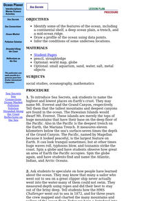
Ocean Planet: Sea Secrets
Students identify ocean features and draw a profile using data points on a map. Through discussion and research, they discover the importance of oceanography and plot a profile of the ocean floor in search for a vessel full of precious...
Curated OER
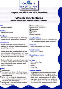
Wreck Detectives
Junior archaeologists examine types of artifacts from the Bronze Age on the internet. In collaborative groups, they create a story about a ship from this period and then construct a model of the ocean floor after their ship has sunk....
Curated OER
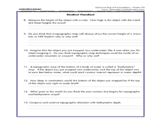
A Watered-Down Topographic Map
Eighth graders explore the ocean floor. In this topography instructional activity, 8th graders compare topographical maps to bathymetric charts. They will create a topographic map and note landmarks and other land features.
Channel Islands Film
Island Rotation: Lesson Plan 1
How do scientists provide evidence to support the theories they put forth? What clues do they put together to create these theories? After watching West of the West's documentary Island Rotation class members engage in a series of...
Curated OER
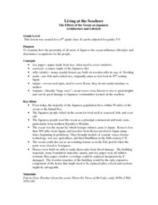
Living at the Seashore
Students examine how the proximity of all areas of Japan to the ocean influences lifestyles and determines occupations for the people. This lesson includes lesson extensions and a concept list.
Curated OER
The Big Blue
Third graders create paper mache globes with balloons. They label the 4 oceans on their balloons with reference to large wall map, classroom globe, and Encarta Virtual Globe CD-ROM projected on large screen TV with Tvator or other...

