Hi, what do you want to do?
Curated OER
Mapping the Aegean Seafloor
Earth science learners create a two-dimensional topographic map of the floor of the Aegean Sea. They use it to then create a three-dimensional model of the ocean floor features. This comprehensive resource delivers strong background...
Curated OER
Oceans Socratic Questioning
Students participate in a whole class discussion of ocean-floor structures and plate tectonics. They respond to prompts in a structured sequence that lead them to conclusions about the role of plate tectonics in the creation of sea-floor...
NOAA
Currents
A deep ocean current circles the globe at a force that is greater than 16 times all the world's rivers combined. Groups analyze the effects of submarine topography on deep ocean current speed. They then determine how this speed affects...
Curated OER
Geography Terms
Young scholars identify different landforms and fill out a worksheet where they explain what each landform is. In this geography lesson plan, students fill in a landform map and then use landform words as they describe the landforms.
Curated OER
Island formation
Students explain what an island is, and distinguish islands from similar landforms. They compare and contrast the different ways in which islands are formed.
Curated OER
Science Quiz: Earth Quiz
For this earth science quiz worksheet, learners respond to 20 short answer and true or false questions regarding earth science topics.
Curated OER
Mapping Seamounts in the Gulf of Alaska
Young scholars describe major topographic features on the Patton Seamount, and interpret two-dimensional topographic data. They create three-dimensional models of landforms from two-dimensional topographic data.
Curated OER
Mapping the Canyon
Students compare and contrast topographic maps and bathymetric maps. They investigate how bathymetric maps are made and how to interpret one.
Curated OER
Tides
Learners graph 40 days of high and low tide data for a site in Baja, Mexico near the Wetlands & Fisheries Live! research center. They identify patterns in the data and finally to make a connection between tidal heights and the phase...
Curated OER
Cruising the Mantle
Students explore the plate boundaries of the earth. Through the use of video, internet and hands-on activities, students examine the types of plate boundaries. They create a model to illustrate the movement and interaction of the...
Curated OER
Island Formation
Students create models of how islands are formed by hot spots and then write a summary of their observations and of how they think their model relates to volcanic hot spots and island formation.
Other
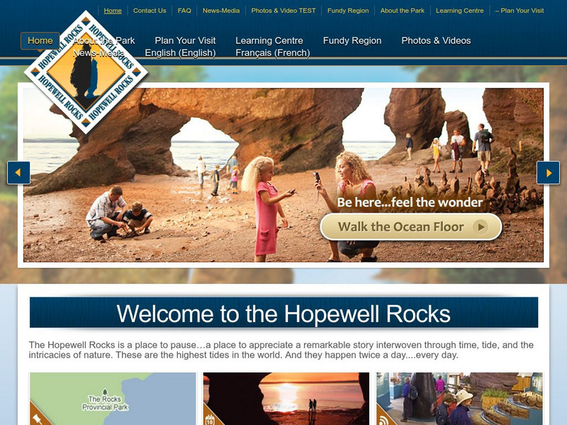
Hopewell Rocks 360 Degrees Panorama
Take a panoramic tour of the famous Hopewell Rocks. Explore the ocean floor and the rock formations. Be careful! When the tides come in the water rises to a height of a four story building.


