Hi, what do you want to do?
Other
Asia Society: Policy
A comprehensive storehouse of all types of information on Asia, both current and past: maps and statistics, Asian food, travel guides, photographs, articles, timelines, and more. Asia Source is the work of the Asia Society, a national...
E-learning for Kids
E Learning for Kids: Math: Native American Village: Sharing and Division
Let's go to Alaska and learn more about sharing.
University of North Carolina
Documenting the American South: North Carolina Emergency Relief Administration
An electronic edition of a very interesting, though dense, book written in 1936 as a record of the activies of the Emergency Relief Adminstration in North Carolina. The book begins with a look at how relief for the indigent was provided...
Sophia Learning
Sophia: Urban Models in the Real World
By using Google Earth and city road maps, students will compare the layout of their city to one of the three North American urban models and see which one is the best fit.
Curated OER
Etc: Maps Etc: Distribution of Native Americans, 1500
A map from 1906 of North America central Canada to northern Mexico showing the distribution and territories of the Native Americans around 1500. The boundaries are based on linguistic stock and not tribal territories. "Anthropologists of...
Curated OER
Educational Technology Clearinghouse: Maps Etc: North America, 1782
A map of eastern North America at the end of the American Revolution, after numerous peace talks were held in Paris between the United States and Britain. This map shows the proposed new boundaries of the United States, English...
Curated OER
Etc: Maps Etc: The United States and Neighbors, 1898
A map from 1898 of North America, Central America, Greenland, and the Caribbean to Puerto Rico, subtitled "The United States and its Neighbors in North America." The map is color-coded to show the possessions of Greenland (to Denmark),...
Curated OER
Etc: Maps Etc: Physical Map of South America, 1898
A map from 1898 of South America showing the general physical features including mountain systems, prominent peaks and volcanoes, river and lake systems, plateaus, and coastal features. The map includes an insert of the Isthmus of...
Curated OER
Etc: Maps Etc: Mexico, Central America, and the West Indies, 1906
A map from 1906 of Mexico, Central America, and the West Indies showing the political boundaries at the time, capitals and major cities, mountain systems, coastal features, and islands of the region. An inset map shows the entire North...
Curated OER
Etc: Maps Etc: Commercial Map: United States, Canada, Mexico, 1904
North American commercial activities including: major agricultural crops (barley, corn, wheat, coffee, tobacco, et cetera) and secondary agricultural crops (oranges, lumber, wine); primary mining extraction (coal, gold, silver,...
Curated OER
Educational Technology Clearinghouse: Maps Etc: The Dominion of Canada, 1906
A map from 1906 of the Dominion of Canada showing the boundaries of the provinces and territories, provincial capitals and major cities, lakes, rivers, coastal features, and islands of the region. An inset map shows the entire North...
Curated OER
Educational Technology Clearinghouse: Maps Etc: United States, 1906
A map from 1906 of the continental or 'lower forty-eight’ United States showing state boundaries and state capitals, major cities and towns, mountain systems, lakes, rivers, and coastal features. Inset maps show the entire North American...
Other
Northwest Journal: Life of David Thompson
An overview of the life of David Thompson, arguably Canada's greatest explorer.
Curated OER
Perry Castaneda Map Collection: Map of Early Indian Tribes in the Western u.s.
Map showing the Native American culture areas and the tribes within those cultures in western North America. From the Perry Castaneda collection.
Other
The Woodland/ Algonquian Tribes Before 1500 (Map)
A Map of the geographic regions of the various Native American tribes in northeastern North America.
Science Education Resource Center at Carleton College
Serc: Analyzing Plate Motion Using Earth Scope Gps Data
In this chapter, you will access Global Positioning System (GPS) data from the Plate Boundary Observatory (PBO) and analyze the data in a spreadsheet to measure the motion of GPS stations in the Pacific Northwest. From your analyses, you...
Nations Online Project
Nations Online: Canada
Features a complete destination guide to Canada, a country profile, background overview, and numerous links to comprehensive information on the country's culture, history, geography, economy, environment, population, news, government,...
University of Virginia
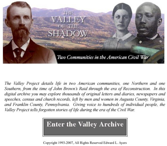
Virginia Center for Digital History: The Valley of the Shadow
This is a must-have site for the study of the Civil War. Students will have access to primary documents from many sources, including: census and veteran records, letters and diaries, newspapers, and church records. This Project explores...
Other
University of Delaware: Plate Tectonics
This site is a very simple overview of plate tectonics. It includes a map of all the major plates and a diagram of the layers of the earth.
Canadian Museum of Nature
Canadian Museum of Nature: Natural History Notebooks
This site from the Canadian Museum of Nature, a natural history museum, provides short information blurbs and fun facts on over 240 different common animals categorized by type (mammals, fish, reptiles, invertebrates, amphibians,...
Other
Chicago Herpetological Society: Cottonmouth
Great color photographs link to a regional map and additional information on the Cottonmouth snake.
Curated OER
Educational Technology Clearinghouse: Maps Etc: The San Juan Boundary, 1883
A map of the Puget Sound area of North America showing the area of the boundary dispute between British Columbia and the United States. The San Juan Boundary was the source of a military conflict between the US and British North America....
Curated OER
Etc: American Rev War Campaigns in the North, 1775 1783
A map of the region involved in major northern campaigns of the American Revolutionary War. The map shows cities, towns, and forts, rivers and terrain features, and is keyed to show British and American routes during the campaigns. An...


