Hi, what do you want to do?
University of Georgia
University of Georgia: A Map of North and South Carolina and Georgia(1765)
An English map from 1765 entitled "A New Map of North and South Carolina and Georgia."
Other
Geography Quiz: Northern South American Cities
Have fun trying to locate famous cities in northern South America on a map. Do you know where Paramaribo is? See how much you know!
Curated OER
Educational Technology Clearinghouse: Maps Etc: North American Colonies, 1783
A map of eastern North America in 1783 at the end of the American Revolutionary War, showing the territory of the newly formed United States as proposed by the Treaty of Paris, the Canadian border extending to the Ohio River proposed by...
Curated OER
Etc: Maps Etc: North American Vegetation Regions, 1901
A map from 1901 of North America, Central America, Greenland, and the Caribbean to Puerto Rico showing the general vegetation regions. The map shows areas of deserts, tundras, and ice fields, areas of grassy lands, areas of open forests,...
Curated OER
Etc: Maps Etc: North American Population Density, 1910
A map from 1910 of North America, Central America, Greenland and the Caribbean showing population density distribution in the region at the time. The map is coded to show areas of population densities ranging from less than 1 inhabitant...
Curated OER
Educational Technology Clearinghouse: Maps Etc: North American Region, 1578
George Beste's depiction of North America and the region around Frobisher's Strait.
Smithsonian Institution
National Museum of Natural History: American Mammals: Hooded Skunk
The Smithsonian National Museum of Natural History, in a section titled "North American Mammals," offers a general overview of the hooded skunk. Content includes detailed drawings, photographs, specimens, and a map showing the skunk's...
National Humanities Center
National Humanities Center: Toolbox Library: The French, American Beginnings: 1492 1690
Three maps reflecting French exploration along rivers in North America and three French explorers' accounts of the astonishing hardships they endured and the possibilities for trade with natives they opened.
National Humanities Center
National Humanities Center: Toolbox Library: Prosperity, American Beginnings: 1492 1690
Four original source accounts, and four related maps, of successful English, French, and Spanish settlements in North America and the Caribbean that explain the qualities of these settlements and their reasons for permanence and prosperity.
National Humanities Center
National Humanities Center: Toolbox Library: Northwest Passage, American Beginnings: 1492 1690
Four maps examining the hunt for a Northwest Passage and three English accounts detailing the curiosity, greed and optimism that fueled English exploration of North America.
National Humanities Center
National Humanities Center: Toolbox Library: Rivalry Iii, American Beginnings: 1492 1690
Two maps of English and French rivalries in North America, and two side-by-side accounts of the English and French perspectives on King William's war over power, trade, and economic dominance of the continent.
War Times Journal
War Times Journal: Ia Drang River Valley Battle Maps
Three animated battle maps on the famous three-day battle fought between the US Army and the North Vietnamese Army in November 1965. This battle represented the first major encounter between the two combatants.
Native American Art and Technology
Native Tech: Culture Areas and the Locations of Tribes With Illustrated Clothing
A great map of the Native American culture areas with corresponding drawings of the cultures' individual clothing styles.
National Humanities Center
National Humanities Center: Toolbox Library: The Spanish, American Beginnings: 1492 1690
Two maps and four accounts of the Spanish exploration of North America that reflect the goals of the conquistadors and fascination with the land they examined-and the brutality of their treatment of native peoples.
National Humanities Center
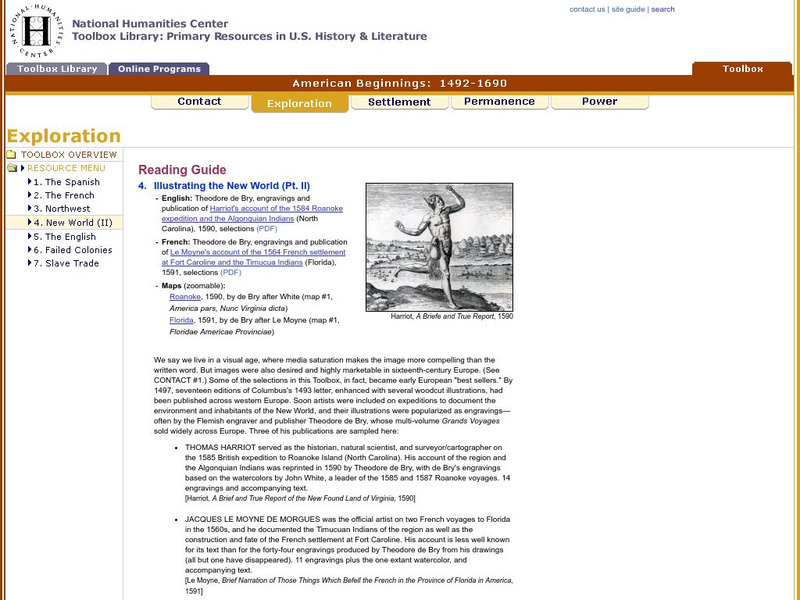
National Humanities Center: Toolbox Library: New World: Part Ii, American Beginnings: 1492 1690
Two European maps of Florida and Roanoke, and a British and a French account-with associated engravings of these settlements-that promote a European interpretation of and claim over these areas.
National Humanities Center
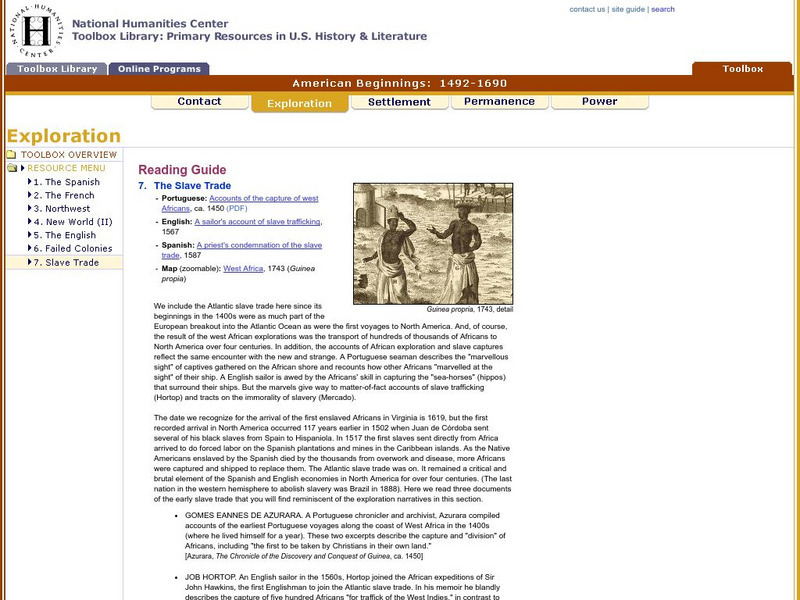
National Humanities Center: Toolbox Library: Slave Trade, American Beginnings: 1492 1690
A West African map and three accounts of the development of slave acquisition display the process and the brutality of the Atlantic slave trade.
National Humanities Center
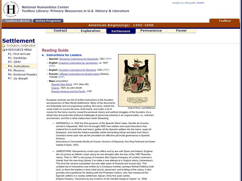
National Humanities Center: Toolbox Library: Instructions, American Beginnings: 1492 1690
Three maps of European settlement in Virginia, the Pacific Northwest, and the Spanish New World, and the accompanying official instructions from lenders and monarchs about the obligations, opportunities, and hopes that those...
National Humanities Center
National Humanities Center: Toolbox Library: Pacific Coast, American Beginnings: 1492 1690
Primary resources for U.S. history and literature offer two excerpts from the explorations of the Pacific coast by Sir Francis Drake and Vitus Bering as well as maps drawn to reflect those journeys. Includes questions for discussion.
National Humanities Center
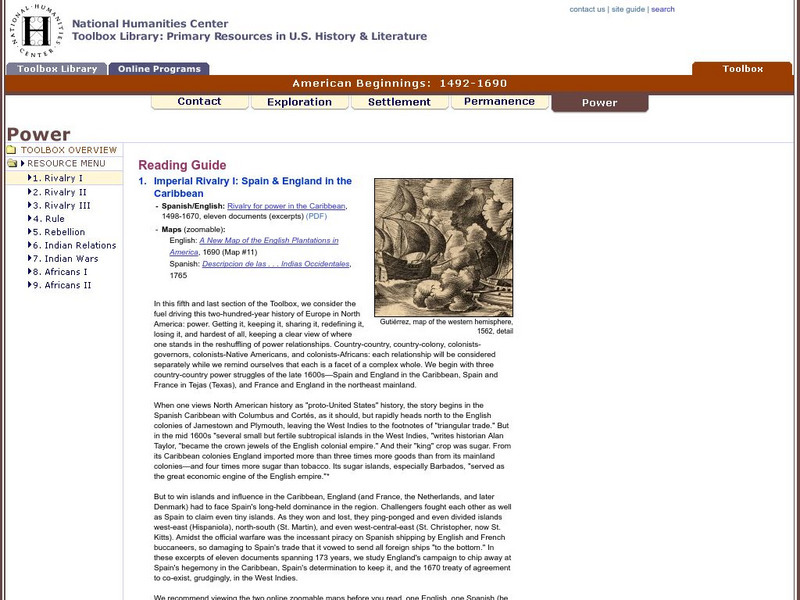
National Humanities Center: Toolbox Library: Rivalry I, American Beginnings: 1492 1690
Eleven documents and two maps detailing the almost two hundred year struggle between England and Spain for hegemony in the Caribbean.
National Humanities Center
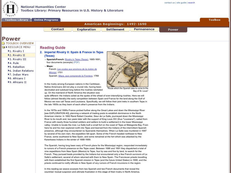
National Humanities Center: Toolbox Library: Rivalry Ii, American Beginnings: 1492 1690
Two eighteenth-century maps and four accounts of the mutual perceptions, suspicions, and observations between Spanish and French explorers on the Gulf Coast.
PBS
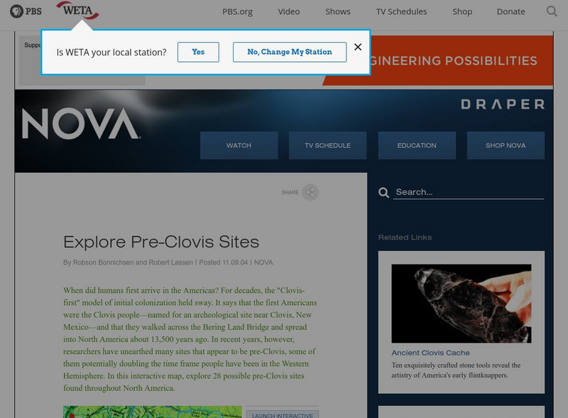
Nova: America's Stone Age Explorers: Before Clovis
A terrific map from NOVA showing pre-Clovis sites in North America. The key tells where the site is, what was found there, and when Paleoindians inhabited the site.
OpenStax
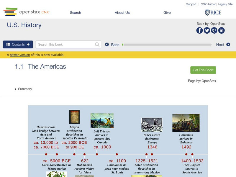
Open Stax: The Americas
After reading this section, students will be able to locate on a map the major American civilizations before the arrival of the Spanish, discuss the cultural achievements of these civilizations and also the differences and similarities...
A&E Television
History.com: The States
Learn unique facts about each American state. You can also read a more in-depth history of each state, watch videos and play a game about all the states.
Discovering Lewis & Clark
Discovering Lewis & Clark: David Thompson, Lewis, Clark, Jefferson
This web site is a group effort devoted to Lewis and Clark, the explorers. This section of the site describes David Thompson's role in their expeditions.


