Hi, what do you want to do?
Encyclopedia of Life
Encyclopedia of Life: North American Badger
The Encyclopedia of Life presents this in-depth overview of North American Badgers (Taxidea taxus), including their habitats, size, conservation status, and much more. Images of this species and maps of its global distribution can also...
Smithsonian Institution
National Museum of Natural History: North American Mammals
This concise site contains photos of North American mammals along with a map showing where they currently can be found. Includes links to other mammal sites.
Houghton Mifflin Harcourt
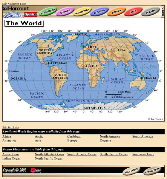
Harcourt: School Publishers: World Atlas: The World
Provides continent, country, and ocean floor maps from all over the world. Click on a continent's name to access the detailed maps which also include statistical facts on each available country.
Annenberg Foundation
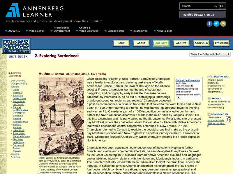
Annenberg Learner: American Passages: Exploring Borderlands: Samuel De Champlain
This passage highlights passionate French explorer, Samuel de Champlain, in his conquest for new lands in present day Canada and his establishment of France's North American capital of Quebec. Click the "Samuel de Champlain Activities"...
University of Texas at Austin
Perry Castaneda Library Map Collection: Americas Historical Maps
This collection from the University of Texas Library Online of historical maps contains a wide variety of maps from various parts of the continent and from different parts of history. Each map is accompanied by a brief description and is...
Other
Ecological Regions of North America [Pdf]
A helpful map of North America which color codes its 15 ecological regions. Click on the different regions for a brief description of the area. Requires Adobe Reader. [PDF]
University of Regina (Canada)
University of Regina: Math Central: Map of First Nations Peoples Pre Contact Culture Areas
A color coded map of North America which contains the regions inhabited by different aboriginal nations.
Smithsonian Institution
National Museum of the American Indian: Infinity of Nations
Learn about ten North and South American Native American nations by playing the Infinity of Nations Culture Quest game. Examine Native American crafts and artifacts that are part of Smithsonian's National Museum of the American Indian,...
World Atlas
World Atlas: North America
Features maps and a description of the geography and history of North America with links to information on its countries, famous people, flags, symbols, and much more.
Annenberg Foundation
Annenberg Learner: Journey North: American Robin
Use this resource to learn about Robins and track their migration. Information about Robin characteristics, life cycle, and migration. Includes migration map and the opportunity to report your sightings.
Princeton University
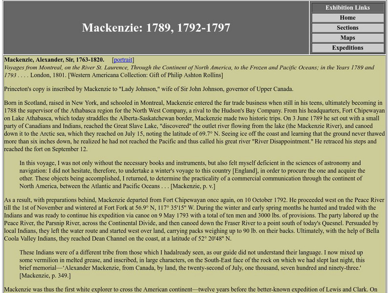
Princeton University Library: Exhibition: Of Maps and Men: Alexander Mackenzie
Excerpts from Alexander Mackenzie's Voyage from Montreal that underscore the significance, for British global interests of the time, of his expedition across the North American continent to the Pacific.
Library of Congress
Loc: The Rochambeau Map Collection
A collection of the maps of North America, dating from 1717 to 1795. They were used by Jean Baptiste Donatien de Vimeur, the Comte de Rochambeau, when he was captain of the French forces during the American Revolution. Includes maps of...
Smithsonian Institution
National Museum of Natural History: The Hall of Arctic People
This is the online version of the Smithsonian Institute's exhibit devoted to the people of the Siberian and North American Arctic. The mannequins around the walls represent the peoples of the Crossroads region, dressed in traditional...
Other
Military Analysis Network: Map of Nato Member Nations
Great map of Europe with color coated countries denoting when they joined NATO.
Other
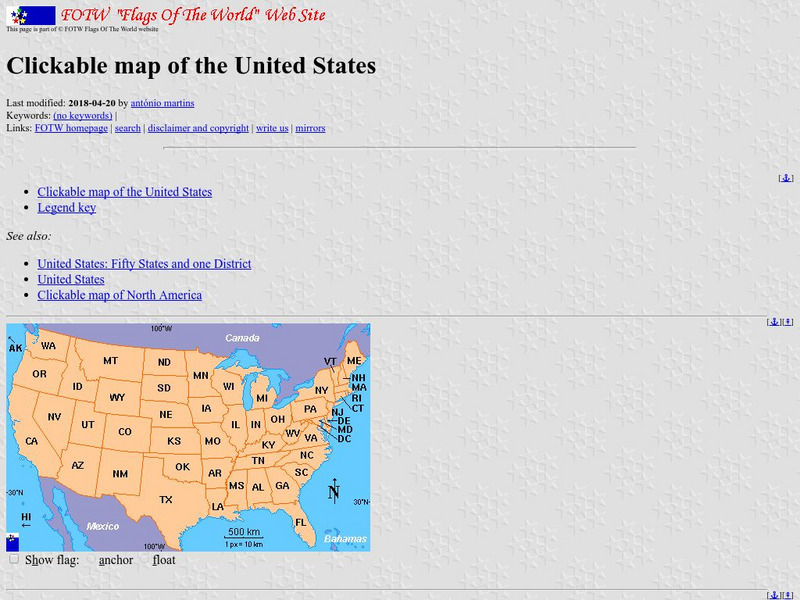
Flags of the World: Clickable Flag Map of the Us
This interactive map of the United States provides a detailed description of the flag of each state and its history. Each state has a colorful picture of the flag and extensive information about state flags, banners, and crests.
National Geographic Kids
National Geographic Kids: Animals: River Otter
This multimedia article reveals the natural history of otters. The facts, maps, and video and audio clips are perfect resources for research.
Curated OER
Educational Technology Clearinghouse: Maps Etc: North American Colonies, 1643
A map of the North American Colonies in 1643 at the establishment of the New England Confederation. The map is color-coded to show the territorial claims of the British, French, Dutch, and Swedish at the time, and shows the British...
Annenberg Foundation
Annenberg Learner: Journey North: A Global Study of Wildlife Migration and Seasonal Change
Join teachers and students all over the country in observing the migratory patterns of birds and butterflies and the growth changes of plants as the climate changes. "Journey North" offers a wealth of resources to use as you investigate...
The Newberry Library
Newberry Library: Historic Maps: Revolutionary Boston: Old North Church
"One if by land, two if by sea." This famous quote was the direction Sexton Robert Newman was to follow by shining a lantern from the Old North Church steeple to warn the patriots that the British were coming. The church is the oldest in...
Smithsonian Institution
Smithsonian Education: Textiles
A comprehensive site on textiles of the North American Southwest. Includes a gallery, map, catalog, glossary and timeline.
Other
Oregon State University: Barleyworld
This is a site about barley that contains a list on the left with a link to a page about the North American Barley Genome Project.
Other
Vox: 37 Maps That Explain the American Civil War
April 1865 was a momentous month in American history. On April 9, the Confederate army under Robert E. Lee surrendered to the Union forces of Ulysses S. Grant, effectively ending the Civil War. Then on April 14, the victorious President...
Other
American Journeys: Map of the Spanish Entrada Into North America [Pdf]
Map showing the routes taken by fourteen Spanish explorers in the Americas between 1509 and 1543.
PBS
Pbs: American Experience: Vietnam From 1945 to Postwar
In 1954, a peace conference in Geneva temporarily divided Vietnam in two: a pro-communist North and an anti-communist South. The political factions in North and South Vietnam -- supported by their communist and capitalist allies in the...


![Ecological Regions of North America [Pdf] Handout Ecological Regions of North America [Pdf] Handout](https://static.lp.lexp.cloud/images/attachment_defaults/resource/large/FPO-knovation.png)


