Hi, what do you want to do?
Northwestern University
American Memory: Edward S. Curtis's North American Indian: Photographic Images
Find Native American tribes grouped by geographic location as well as relevant information and pictures.
Other
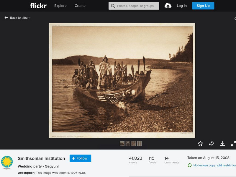
Smithsonian Institution: North American Indian Photography of Edward Curtis
A collection of 22 historical photographs showing Native Americans taken by renowned photographer Edward Curtis. The images show how Native Americans lived and dressed in scenes such as a wedding party, a ritual dance, gathering food, etc.
The British Museum
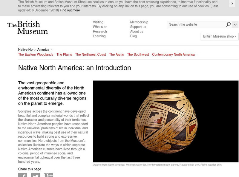
British Museum: Explore World Cultures: Native North America
Learn about the art of native North Americans in this overview descriptions with accompanying image gallery with a detailed description of each piece.
Tom Richey
Tom richey.net: Native American Cultures 1491 1607 [Ppt]
Presents key ideas for examining the cultures of Native American tribes that lived in North America in early colonial times. Discusses the major groups, the way of life of each group, and where they lived.
Library of Congress
Loc: American Revolution and Its Era: Maps & Charts
A few maps and some good text on the topography and its importance during both the American Revolution and the French and Indian War.
Curated OER
Etc: Maps Etc: The American Indian Nations, 1776
An early map of the southeastern North America around 1776, showing the American Indian Nations of the region at the time. The map shows colonial boundaries extending from the Atlantic coast to the Mississippi River, towns, forts, and...
Curated OER
Etc: Maps Etc: Distribution of American Indians, 1500
A map from 1920 of North America central Canada to northern Mexico showing the distribution and territories of the Native Americans around 1500. The boundaries are based on linguistic stock and not tribal territories. The map was...
Curated OER
Educational Technology Clearinghouse: Maps Etc: North America, 1782
A map of eastern North America at the end of the American Revolution, after numerous peace talks were held in Paris between the United States and Britain. This map shows the proposed new boundaries of the United States, English...
Curated OER
Etc: French and Indian Wars, 1754 1763
A map of the North American region of the French and Indian War (1754-1763) between the French and the British for territorial control. The map shows important places and major cities, towns, forts, and battle sites during the conflict.
Curated OER
Adapted From the North American Indian Portfolios, 1993 Library of Congress
This illustrated list includes shirts, leggings, silver work, face painting, beads, and Seminole clothing patterns.
Curated OER
Perry Castaneda Map Collection: Map of Early Indian Tribes in the Western u.s.
Map showing the Native American culture areas and the tribes within those cultures in western North America. From the Perry Castaneda collection.
Curated OER
Native American Indian Resources: Native American Housing Styles
A color map and explanation of the various types of Native American house construction in each region of North America.
Curated OER
Native American Indian Resources: Native American Housing Styles
A color map and explanation of the various types of Native American house construction in each region of North America.
Curated OER
Native American Indian Resources: Native American Housing Styles
A color map and explanation of the various types of Native American house construction in each region of North America.
Curated OER
Native American Indian Resources: Native American Housing Styles
A color map and explanation of the various types of Native American house construction in each region of North America.
Other
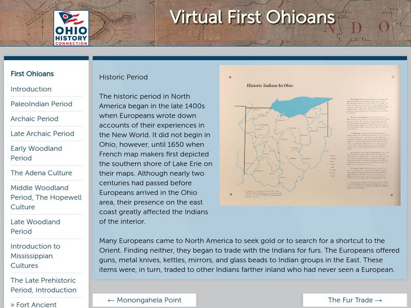
Ohio Historical Society: Historic Period
Enter the Europeans into the woods and plains of central North America. How did this effect the people that were here already? Who was here, and what happened when worlds collide? Click on the thumbnail images for more information on the...
Curated OER
Etc: Maps Etc: British Possessions in North America, 1775
A map showing the British possessions in North America in 1775, before the outbreak of hostilities during the American Revolutionary War. The map shows the boundaries of the British Colonies along the Atlantic, the Proclamation Line of...
Curated OER
Etc: Maps Etc: Mexico and Western North America, 1845
A map of Mexico in 1845, prior to the ceding of the northern territories to the United States in 1846. The map shows the territories of Oregon, Texas, and Central America under Mexican control, and the frontiers of the Missouri and...
Curated OER
Etc: Maps Etc: The Location of the Eastern Indian Tribes, 1600s
A map from 1911 of eastern North America showing the general areas of early contact between the Native Americans and European settlers. The map is divided by groups (Algonquians, Iroquoians, Siouans, and Muskhogeans) and the principal...
Curated OER
Leni Lenape Indians, 1654
One modern historical assessment and several original accounts of the mistrust, negotiations, alliances, trading, and disease transmission between European colonizers and native peoples in North America.
Other
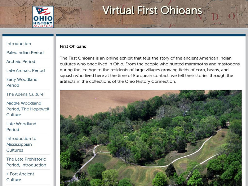
Ohio History: Virtual First Ohioans
This award-winning resource from the Ohio Historical Society presents Ohio's first cultures: PaleoIndian, Archaic, Woodland, Mississippian, and Late Prehistoric Period cultures. Click on each period for additional information and great...
Curated OER
Etc: Clip Art Etc: Neolithic Implements Stone Mallets
Stone mallets and the North American Indian method of mounting. A Neolithic age implement. Not drawn to scale.
Curated OER
Caption Below
A few maps and some good text on the topography and its importance during both the American Revolution and the French and Indian War.
Curated OER
Caption Below
A few maps and some good text on the topography and its importance during both the American Revolution and the French and Indian War.


