Curated OER
Adire Eleko Cloth Glue Patterns
First graders are introduced to the art form of African Adire Eleko cloth - painted patterned textiles. They use paper, glue and paint to imitate the technique and create similar patterns on paper.
Curated OER
Where in the World is Rubber?
Learners examine rubber. In this natural rubber lesson students identify a naturally producing rubber location and present a detailed description of a rubber producing country.
Curated OER
Fighting Disease
Seventh graders explore the concept of medical intervention in African nations. In this geography lesson, 7th graders research primary and secondary sources in search of information regarding Guinea worm disease. Students use their...
National Geographic Kids
National Geographic Kids: Nigeria
Welcome to Nigeria! Follow this interactive overview of the country's history, geography, people, government, nature, and more. A map and video are included.
Art Institute of Chicago
Art Institute of Chicago: Benin: Kings and Rituals: Court Arts From Nigeria
Learn about the history of the royal art of the Benin Kingdom in Africa. An overview of the art is provided and with further explanation given according to themes. View maps and selected works of art. A video, charts, glossary, and a...
Encyclopedia of Earth
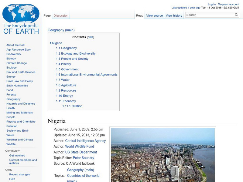
Encyclopedia of Earth: Nigeria
The Encyclopedia of Earth provides an overview of Nigeria, including its geography, natural resources, history, government, economy, and much more. Maps and images are also included, along with sources used to create the entry.
Curated OER
Science Kids: Science Images: Map of Nigeria
A map featuring Nigeria and its neighboring countries.
Curated OER
Educational Technology Clearinghouse: Maps Etc: Colonial Africa, 1904
A map of Africa shortly after the Berlin Conference of 1885, which established the European colonial territory claims on the continent. These European and independent boundaries include Algeria and the Saharan Sphere of French Influence,...
Curated OER
Educational Technology Clearinghouse: Maps Etc: Northwestern Africa, 1906
Map of Northwestern Africa in 1906 showing the Barbary States of Morocco, Algeria, Tunis, and a portion of Tripoli, the western country of Rio de Oro, and the Upper Guinea States of Gambia, Portuguese Guinea, Sierra Leon, Liberia,...
Curated OER
Educational Technology Clearinghouse: Maps Etc: Colonial West Africa, 1920
Map of Western Africa in 1920 showing the Upper Guinea States of Gambia, Portuguese Guinea, Sierra Leon, Liberia, British Gold Coast, Togo, Dahomey, Northern and Southern Nigeria, Kamerun, and Spanish Guinea. The map also shows the...
University of Iowa
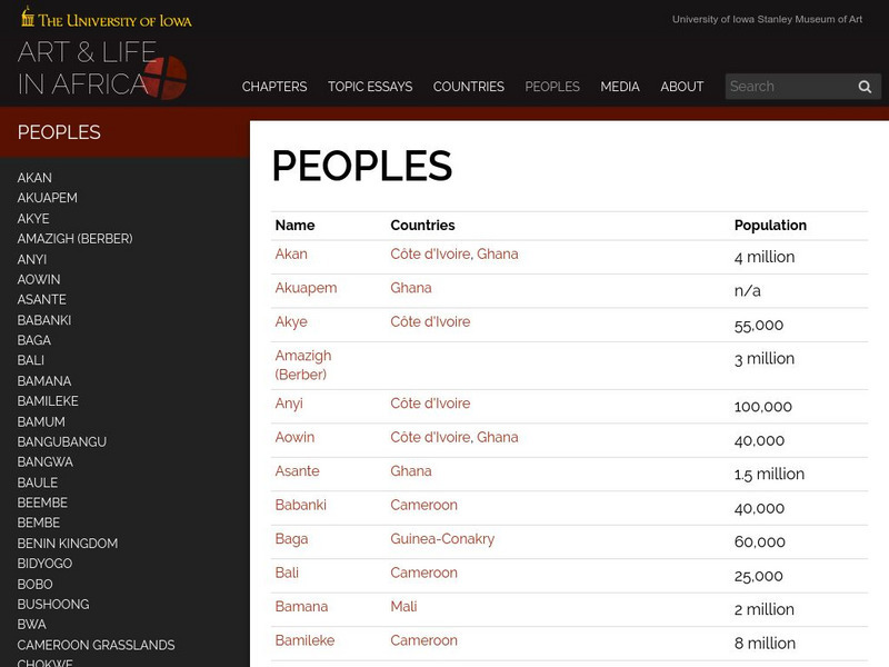
University of Iowa: Arts and Life in Africa: People Resources
Essential information on African countries and African peoples assembled by the University of Iowa.
American University
American University: The Biafran War
This site provides a clear explanation of the Biafran Civil War. Includes a map of Nigeria.


