Curated OER
Etc: Maps Etc: Mexico, Central America and the West Indies, 1852
A map from 1852 of Mexico, Central America, and the West Indies. The map shows territorial boundaries at the time, including the Mexican States, capitals and major cities and ports, railroads, rivers, lakes, mountain systems, and terrain...
Curated OER
Educational Technology Clearinghouse: Maps Etc: Philadelphia and Vicinity, 1872
A map from 1872 of the vicinity of Philadelphia. "Philadelphia City, now the second in size and population in the United States, is situated between the Delaware and Schuylkill Rivers, five miles above their junction, and 120 miles, by...
Cayuse Canyon
The Us50
This clickable map of the United States gives students access to research information from history and tourism to attractions and famous historic figures.
Curated OER
Federal Reserve Districts in United States
This page from the Federal Reserve Board provides a map of the 12 Federal Reserve Districts with addresses, phone numbers, and links to the following Federal Reserve Banks: Boston, New York, Philadelphia, Cleveland, Richmond, Atlanta,...
EL Education
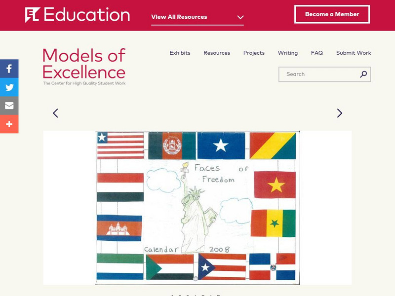
El Education: Faces of Freedom Calendar
This calendar was created by 3rd graders in Rochester, New York, as part of a learning expedition on immigration. As a way to honor the experiences of young immigrants and to learn about immigration, students from this class interviewed...