National Humanities Center
National Humanities Center: America in Class: America in the 1920s: Modern City in Art
The National Humanities Center presents collections of primary resources compatible with the Common Core State Standards - historical documents, literary texts, and works of art - thematically organized with notes and discussion...
University of Texas at Austin
Ut Library: Perry Castaneda Maps of New York
A collection of maps of the state of New York, including links to city maps, historical city maps, and maps of National Parks, Monuments, and historical places.
Other
History in Motion: New York City Draft Riots, July 1863
Historical scenario in "real time" shows the morning of the first day of the New York City Draft Riots, Monday, July 13, 1863. [7:42]
Other
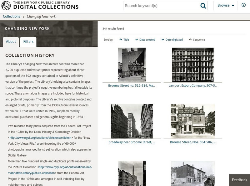
Nypl Digital Gallery: Changing New York: Photographs by Berenice Abbott
See photographs taken by Berenice Abbott as part of the New Deal's Federal Artist Program. Her project was entitled Chaning New York. Find information about Abbott as a photographer and read information about each photograph.
Other
Nyc Organization Chart
Develop a better understanding of the New York City Government with this helpful organization chart.
PBS
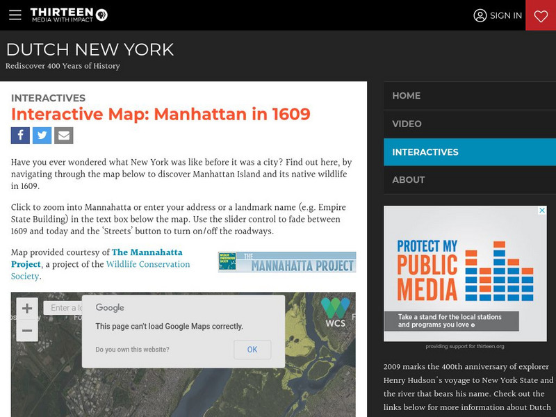
Wnet: Thirteen: Interactive Map: Manhattan in 1609: Dutch New York
Explore Dutch New York through this historical interactive map and learn what wildlife, landscape, and people lived there in 1609 compared with today. Click on 'Interactives' for additional resources, e.g., a 1626 letter from Peter...
New York Times
New York Times: 2008 Beijing Olympics (Newsmakers, Moments, Ceremonies, Beijing)
The New York Times tells the story of the 2008 Summer Olympics in Beijing in pictures. Find images of newsmakers, such as Michael Phelps, the ceremonies, and the city of Beijing.
New York Times
New York Times: Animated Manhattan
The computer animated film "Madagascar" is set in Central Park of New York city. Watch as animation masters are able to recreate a life-like view of Manhattan.
Other
Nyc.gov: Ny City Map
Enter an address or area into NYCityMap and not only will it be highlighted on the map, but you will also be able to find schools, libraries, hospitals, parks, markets, wifi hotspots, etc. that are in close proximity to the address.
Curated OER
Etc: Maps Etc: Southern Portion of New York City, 1903
A map from 1903 of the southern portion of New York City showing streets, rivers, parks, railroads, elevated railroads, Broadway cable road, and horse cars. Some features indicated on the map are Madison Square Garden, Bellevue Hospital,...
Curated OER
Educational Technology Clearinghouse: Maps Etc: New York City, 1746
Landmarks of New York City in 1746. The legend is as follows: (A) The Fort; (B) The Chapel; (C) Secretary's office; (D) The Great Dock; (E) Port of Nutten Island; (F) Port of Long Island; (G) Dutch Church; (H) English Church; (I) The...
Curated OER
Educational Technology Clearinghouse: Maps Etc: New York City Vicinity, 1883
A map from 1883 of New York City and vicinity, showing neighboring cities and counties.
Curated OER
Educational Technology Clearinghouse: Maps Etc: New York City and Vicinity, 1916
A map from 1916 of New York City and its vicinity showing cities and towns, principal roads, and railroads.
Curated OER
Educational Technology Clearinghouse: Maps Etc: New York City, 1728
A plan of New York City as it was laid out in 1728.
Curated OER
Educational Technology Clearinghouse: Maps Etc: New York City, 1911
A map from 1911 of part of New York City, showing streets, bridges, and landmarks.
Curated OER
Educational Technology Clearinghouse: Maps Etc: New York City, 1897
A map from 1897 of Greater New York City, showing the different boroughs, and Newark.
Curated OER
Educational Technology Clearinghouse: Maps Etc: New York City Hotels, 1919
A map from the Official Automobile Blue Book (1919) of New York City, showing the location of various hotels in the down-town area.
Curated OER
Educational Technology Clearinghouse: Maps Etc: Boroughs of New York City, 1909
A map from 1909 showing New York City and its vicinity, divided into boroughs.
Curated OER
Educational Technology Clearinghouse: Maps Etc: New York City and Vicinity, 1872
A map from 1872 of New York City and vicinity.
Curated OER
Educational Technology Clearinghouse: Maps Etc: New York City and Vicinity, 1920
A map from 1920 of New York City and vicinity.
Curated OER
Educational Technology Clearinghouse: Maps Etc: New York City and Vicinity, 1888
A map from 1888 of New York City and its vicinity.
Curated OER
Educational Technology Clearinghouse: Maps Etc: New York City and Vicinity, 1922
A map from 1922 of New York City and neighboring counties.
Curated OER
Educational Technology Clearinghouse: Maps Etc: New York City and Vicinity, 1891
A map from 1891 of New York City and vicinity, showing roads, railroads, and physical features.
Other popular searches
- New York City Landmarks
- New York City Subway
- New York City Library
- New York City History
- New York City Architecture
- New York City Features
- New York City Watersheds
- New York City Life
- New York City Government
- New York City Riots
- New York City Boroughs
- New York City Tenements


