Hi, what do you want to do?
Other
Webucate: Free Multimedia Resources for Education
A labor of love created by a school in Great Britain. This is a well-organized image gallery with photos and other resources presented by topic, e.g., animals, places in the US, science, sports, etc. Though nothing to compare with a...
Ducksters
Ducksters: Animals for Kids: Colorado River Toad
Kids learn about the Colorado River Toad. The largest native toad in the United States likes dry areas and deserts..
Other
Why Christmas: Christmas Cultures Around the World
A look at the different traditions and ways Christmas is celebrated around the world. Experience Christmas from Australia to Zambia, Italy to China, and many more countries.
CommonLit
Common Lit: Book Pairings: "Esperanza Rising" by Pam Munoz Ryan
Esperanza is a young girl forced to leave behind a life of luxury in Mexico for a farm workers camp in California. The new experience brings Esperanza timeless lessons on life and love. Selected (7) reading passages (grades 5-8) to pair...
Curated OER
Wikipedia: Natl Historic Landmarks in Nm: Los Alamos Scientific Laboratory
United States Department of Energy (DOE) national laboratory; site of the Manhattan Project.
Curated OER
Wikipedia: Natl Historic Landmarks in Nm: San Estevan Del Rey Mission Church
Church founded in 1629.
Curated OER
Wikipedia: Natl Historic Landmarks in Nm: San Francisco De Assisi Mission Church
Mission church on Ranchos de Taos Plaza.
Curated OER
Wikipedia: Natl Historic Landmarks in Nm: Gila Cliff Dwellings Natl Monument
Cliff dwellings from the 1280s through the early 1300s.
Curated OER
Wikipedia: Natl Historic Landmarks in Nm: Georgia O'keeffe Home and Studio
Home and studio of artist Georgia O'Keeffe.
Curated OER
Wikipedia: Natl Historic Landmarks in Nm: Bandelier Ccc Historic District
Civilian Conservation Corps buildings.
Curated OER
Wikipedia: Natl Historic Landmarks in Nm: Chaco Culture Natl Historical Park
Densest and most exceptional concentration of pueblos in the American Southwest.
Curated OER
Wikipedia: Natl Historic Landmarks in Nm: Salinas Pueblo Missions Natl Monument
Reminders of this earliest contact between Pueblo Indians and Spanish Colonials: the ruins of four mission churches and the partially excavated pueblo of Las Humanas.
PBS
Pbs: Commanding Heights the Battle for the World Economy
A huge site dedicated to an understanding of the current global economic system. Includes the history, forces, values and perceptions that have shaped the world's economy. A comprehensive resource that includes a detailed economic report...
PBS
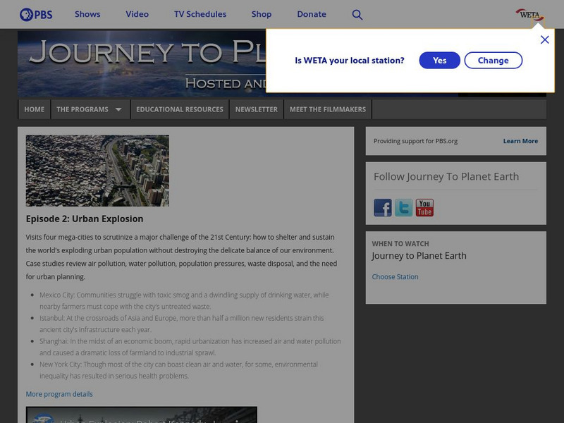
Pbs: Journey to Planet Earth: Urban Explosion
From the "Journey to Planet Earth" series, PBS takes a look at the world's exploding urban population. Includes video clips and educational resources.
Digital History
Digital History: The Clinton Presidency
Short, but comprehensive, synopsis of Clinton's two terms as president. Included in the article is the 1992 campaign, successful and controversial legislation, and the scandals that would eventually become part of his presidential legacy.
Curated OER
Webucate: Free Multimedia Resources for Education
A labor of love created by a school in Great Britain. This is a well-organized image gallery with photos and other resources presented by topic, e.g., animals, places in the US, science, sports, etc. Though nothing to compare with a...
Other popular searches
- New Mexico Geography
- New Mexico History
- Cities in New Mexico
- History of New Mexico
- New Mexico History Lessons
- New Mexico Map
- New Mexico State
- Acrostic Poem About New Mexico
- Social Studies New Mexico
- 1821 1848 New Mexico
- New Mexico Hisrory Lessons
- Map of New Mexico


