Hi, what do you want to do?
University of Groningen
American History: Outlines: The Enduring Mystery of the Anasazi
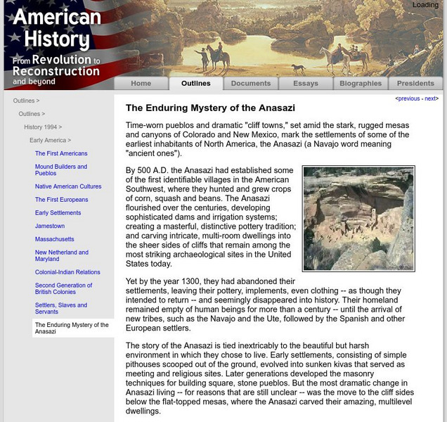
Time-worn pueblos and dramatic "cliff towns," set amid the stark, rugged mesas and canyons of Colorado and New Mexico, mark the settlements of some of the earliest inhabitants of North America, the Anasazi (a Navajo word meaning "ancient...
Scholastic
Scholastic: Explorers: Native American Cultures
Using on-the-scene field reports, photographs, and interviews, visitors join archaeological teams to learn about modern-day Native American fishers of salmon on the Skagit River in Washington, about 2,000-year-old Native American rock...
Other
Chem 122 Lab: The Titration of Acetic Acid in Vinegar [Pdf]
An experiment from a New Mexico Tech chemistry lab course through which students learn about titration, acetic acid, and weak acids. Contains pre-lab material, diagrams, chemical reactions, procedure, and post-lab questions.
Other
Nrao: Bringing Your Class to the Vla
Helps teachers arrange a trip to visit the radio telescope VLA. For those of you not near (New Mexico) it also gives connections into the physics, astronomy and electronics courses. It also has a healthy bibliography of sources.
Other
Uintah Basin Tah Project: Dominguez and Escalante Expedition 1776
The Dominguez-Escalante Expedition of 1776 was tasked with finding a route overland from Santa Fe, New Mexico to a Spanish mission in northern California. This page provides biographies of the people on this journey as well as the maps...
Australian Broadcasting Corporation
Australian Broadcasting Corporation: Walking With Dinosaurs: Fact File: Coelophysis
The Coelophysis lived in the Late Triassic period over 215 million years ago. A large cache of Coelophysis bones were found in New Mexico in 1947 - the dinosaurs had apparently died of thirst. This fact file has more information and a...
Other
Thomas Intermediate School: Southwestern States Activity
Teachers and students can find activities for the Southwest, the states of Texas, New Mexico, Arizona, and Oklahoma. The grade is based on the number of activities and the quality of work.
Climate Literacy
Clean: Carbon Cycle Game
In this interactive, regionally-relevant carbon cycle game, students are challenged to understand the role of carbon in global climate change. They imagine that they are carbon molecules and travel via different processes through carbon...
Other
Atom Central: Trinity, the Birth of the Atomic Age
Beginning with a synopsis of the Trinity Bomb detonation in the New Mexico desert, read how the Atomic age was born.
A&E Television
History.com: Deb Haaland, Us Interior Secretary, on How She's Influenced by History
In early 2021, Deb Haaland was sworn in as the secretary of the U.S. Department of the Interior, making her the first Native American cabinet secretary in the history of the United States. A tribal member of the Laguna Pueblo, she was...
PBS
Pbs Learning Media: Point of View: Up Heartbreak Hill: Factors in a Successful College Experience Lesson Plan
In this lesson from POV, students will watch four video clips that provide glimpses into the lives of two high school seniors who live in New Mexico on the Navajo reservation. They will then analyze a current issue that Native Americans...
Countries and Their Cultures
Countries and Their Cultures: Zuni
This reference introduced the Zuni tribe located in New Mexico. Read about their marriage customs, family life, economy, religion and socialization.
PBS
Pbs Learning Media: The Providers: High School Guide
Designed for high school audiences, this Guide can be used to facilitate dialogue about, and deepen understanding of, the complex issues portrayed in The Providers - a documentary that follows three healthcare providers in northern New...
PBS
Pbs Learning Media: The Providers: Higher Education Guide
Designed for high school audiences, this teaching guide can be used to facilitate dialogue about, and deepen understanding of, the complex issues portrayed in The Providers. A documentary that follows three healthcare providers in...
Curated OER
Etc: Maps Etc: Mexico, Central America, and the West Indies, 1898
A map from 1898 of Mexico, Central America and the West Indies. The map includes an inset map of Cuba and the Isthmus of Nicaragua. "The surface of the Rocky Mountain highland in Mexico is quite similar to that of the great plateau...
Curated OER
Etc: Maps Etc: Mexico, Central America and the West Indies, 1852
A map from 1852 of Mexico, Central America, and the West Indies. The map shows territorial boundaries at the time, including the Mexican States, capitals and major cities and ports, railroads, rivers, lakes, mountain systems, and terrain...
Curated OER
Educational Technology Clearinghouse: Maps Etc: Mexico, 1920
A map from 1920 of Mexico showing major cities and ports, railroads with connections to the railroad network in the United States, shipping routes from New Orleans and San Francisco with distances given in nautical miles, rivers with...
Curated OER
Educational Technology Clearinghouse: Maps Etc: Mexico and West Indies, 1855
A map of Mexico, Central America, and the West Indies showing the foreign territorial possessions and independent countries in the region in 1855. The map is color-coded to show the territorial and island possessions at the time of Spain...
Curated OER
Unesco: Mexico: Pre Hispanic City of Chichen Itza
This sacred site was one of the greatest Mayan centres of the Yucatan peninsula. Throughout its nearly 1,000-year history, different peoples have left their mark on the city. The Maya and Toltec vision of the world and the universe is...
Curated OER
Unesco: Mexico: San Miguel and Sanctuary of Jesus Nazareno De Atotonilco
The fortified town, first established in the 16th century to protect the Royal Route inland, reached its apogee in the 18th century when many of its outstanding religious and civic buildings were built in the style of the Mexican...
Curated OER
The New York Times: The Learning Network: The Gulf Oil Spill in the Classroom
The Deepwater Horizon fire in the Gulf of Mexico oil spill.
Curated OER
Etc: Maps Etc: From New Orleans to the Gulf, 1862
A map of the Mississippi River from New Orleans and Lake Pontchartrain to the mouth on the Gulf of Mexico. The map shows the location of Forts Jackson and St. Philip, two Confederate forts essential to the protection of New Orleans,...
Curated OER
Educational Technology Clearinghouse: Maps Etc: Environs of New Orleans, 1903
A map from 1903 of the Mississippi Delta region showing the site of New Orleans, Lake Pontchartrain, Lake Borgne, and the course of the Mississippi River through the bird's-foot delta to the Gulf of Mexico.
Curated OER
Educational Technology Clearinghouse: Maps Etc: Vicinity of New Orleans, 1916
A map from 1916 of the Mississippi River Delta from New Orleans and Lake Pontchartrain to the mouth of the river on the Gulf of Mexico. The map shows railroads, swamp lands, navigation lights, and water depths in fathoms. The 3, 10, 20,...
Other popular searches
- New Mexico Geography
- New Mexico History
- Cities in New Mexico
- History of New Mexico
- New Mexico History Lessons
- New Mexico Map
- New Mexico State
- Acrostic Poem About New Mexico
- Social Studies New Mexico
- 1821 1848 New Mexico
- New Mexico Hisrory Lessons
- Map of New Mexico


![Chem 122 Lab: The Titration of Acetic Acid in Vinegar [Pdf] Activity Chem 122 Lab: The Titration of Acetic Acid in Vinegar [Pdf] Activity](https://static.lp.lexp.cloud/images/attachment_defaults/resource/large/FPO-knovation.png)


