Hi, what do you want to do?
Internal Revenue Service
Understanding Taxes: The Social Security Act of 1935
This very complete lesson plan explains the history of the Social Security Act of 1935, its history and importance to the elderly during the Great Depression, and its importance today. Everything necessary to teach the lesson and assess...
Other
Why Christmas: Christmas Cultures Around the World
A look at the different traditions and ways Christmas is celebrated around the world. Experience Christmas from Australia to Zambia, Italy to China, and many more countries.
University of Groningen
American History: Outlines: Louisiana and Britain
One of Jefferson's acts doubled the area of the country. At the end of the Seven Years' War, France had ceded to Spain the territory west of the Mississippi River, with the port of New Orleans near its mouth -- a port indispensable for...
Digital History
Digital History: Neutrality and the Jay Treaty [Pdf]
See why a war between Great Britain and France showed the vulnerablity of the new United States. Should the United States help France, after that country gave so much in the Revolutionary War, and risk the economic and military enmity of...
Digital History
Digital History: Overview of the Colonial Era
The year 1492 marks a watershed in modern world history. Columbus's voyage of discovery inaugurated a series of developments that would have vast consequences for both the Old World and the New. It transformed the diets of both the...
University of Groningen
American History: Outlines: Victory and Independence
In July 1780 France's Louis XVI had sent to America an expeditionary force of 6,000 men under the Comte Jean de Rochambeau. In addition, the French fleet harassed British shipping and prevented reinforcement and resupply of British...
AdLit
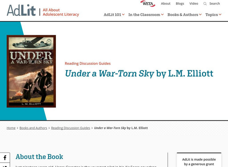
Ad lit.org: Reading Discussion Guide: Under a War Torn Sky by l.m. Elliott
Just nineteen years old, Henry Forester is the youngest pilot in his Air Force squadron. Still, he's one of their best fliers, facing Hitler's Luftwaffe in the war-torn skies above France. But when his plane is shot down on a mission...
NPR: National Public Radio
Npr: An Islamic Journey Inside Europe
NPR takes a thorough look at the integration of Muslims into European society. How is Christian Europe handling this challenge of a new culture. Spain, Britain, France are some of the countries under scrutiny.
Library of Congress
Loc: America's Story: The Statue of Liberty Arrived in Ny
The Statue of Liberty was a gift to the United States from France. This Library of Congress timeline provides more interesting information about how this statue came to be in New York harbor. Includes (requires QuickTime).
Khan Academy
Khan Academy: Masters of Marquetry in the 18th Century: Oeben, Roentgen, Abbiati
Marquetry designs were easily adapted to this new style by taking full advantage of the rich assortment of natural wood tones and the lively colors of dyed woods. One great marquetry master who dominated the middle of the 18th century in...
PBS
Pbs: Commanding Heights the Battle for the World Economy
A huge site dedicated to an understanding of the current global economic system. Includes the history, forces, values and perceptions that have shaped the world's economy. A comprehensive resource that includes a detailed economic report...
Independence Hall Association
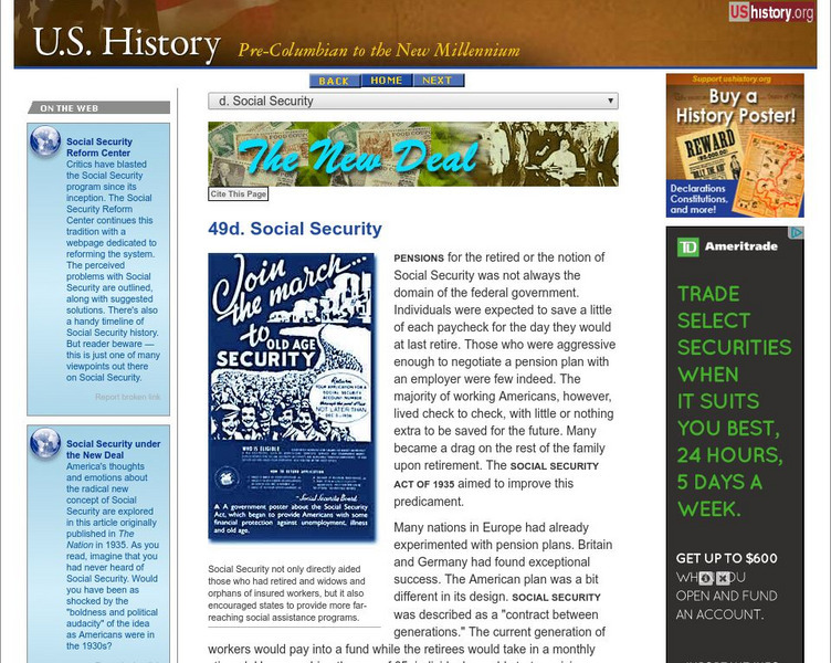
U.s. History: Social Security
See how the relationship between the government and its citizens was changed with the passage of the Social Security Act in 1935.
Other
Database of Award Winning Children's Literature
This is a phenomenal resource. It allows the user to create a reading list of quality children's literature based of choices such as reading level, type of book, genre, ethnicity, gender, etc. In addition, one can determine if a book won...
Independence Hall Association
U.s. History: Evaluating the Congress
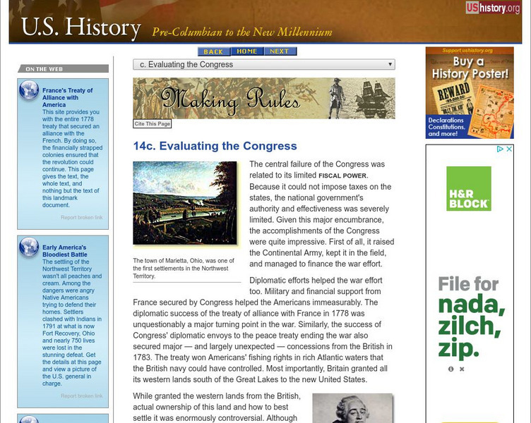
Although there were some glaring weaknesses for the central government under the Articles of Confederation, there were some stunning accomplishments. Read about the successes and think about how important they were for the future of the...
Washington State University
Washington State University: Edith Wharton Society: Summaries & Discussion Questions for Wharton's Works
If you need to get a handle on what's important in some of Wharton's major works, this site will be helpful. Summaries and questions are contributed by Wharton Society members from various universities.
Independence Hall Association
U.s. History: Trans Atlantic Crisis: The French Revolution
A look at the French Revolution and how it was interpreted by members of the ruling members in the new United States. What occurred in France tempered the way politic opposites viewed each other in America.
Siteseen
Siteseen: American Historama: The Xyz Affair
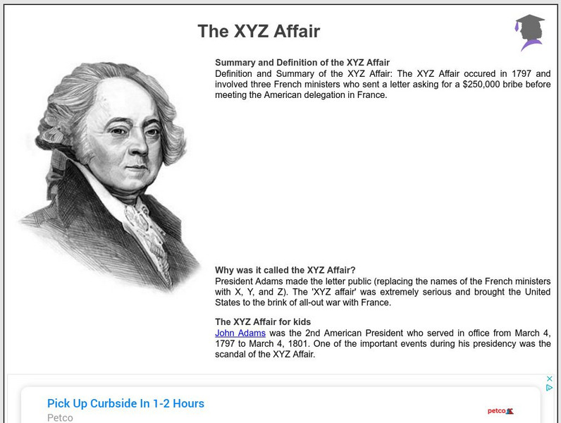
Provides a summary and interesting facts about the XYZ affair in which French diplomats Hottinguer (X), Bellamy (Y), and Hauteval (Z) tried to bribe the United States.
Discovery Education
Discovery Education: 9 12 Teacher Resources
A plethora of resources, science teachers can utilize this education center for academically aligned lesson plans and video clips for middle and high school students.
Canadian Museum of History
Vmnf: Samuel De Champlain
Offers several links to websites that provide information on the different places that Champlain explored in Canada.
Curated OER
Etc: Atlantic Coast Development, 1650 1695
A series of maps showing the development and colonial claims of the northern Atlantic Coast between 1650 and 1695. The maps are color-coded to show charter colonies, proprietary colonies, and the royal colonies. The map from 1650 shows...
Curated OER
Etc: Maps Etc: Australia and Australasian Islands, 1882
A map of Australia and the Australasian islands in 1882 showing the states and territories of Australia at the time, including De Witt Land and Tasman Land in Western Australia, Alexandra Land and North Australia, Queensland, South...
Curated OER
Educational Technology Clearinghouse: Maps Etc: North America, 1800
A map of North America and Central America showing territorial claims and possessions in 1800. The map is color-coded to show the territories of the United States, British, Spanish, French, and Russians, and indicates areas of disputed...
Curated OER
Educational Technology Clearinghouse: Maps Etc: The Acadian Peninsula, 1775
A map of New Brunswick and Nova Scotia in 1775, when it was known as Acadia. Acadia had been ceded by France to the British under the Treaty of Utrecht (1713). At the outbreak of the French and Indian War, the British began a campaign of...
Curated OER
Educational Technology Clearinghouse: Maps Etc: Italy, 1914 1919
A map from 1919 of Italy shortly after World War I. The map shows the 17 political divisions or Compartimenti, and the 69 provinces, and the northern boundaries at the time, including the territories of Trentino, Gorizia, Istria, and...
Other popular searches
- Hierarchy of New France
- New France in Canada
- Settlement of New France
- New France History
- New France Louisiana
- Conquest of New France
- Colonial New France
- New France Lessons
- New France Society
- New France Lesson Plans
- New France Lousiana
- Jesuits in New France


