Hi, what do you want to do?
PBS
Wnet: Thirteen: Savage Earth: Volcanoes Out of the Inferno
PBS's The Savage Earth provides online learning associated with the series including vivid pictures, animations, and detailed information about volcanoes. Learn about the formation and causes of volcanoes as well as the characteristics...
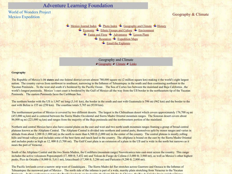
Adventure Learning Foundation
Adventure Learning Foundation: Mexico: Geography and Climate
A thorough description of Mexico's geography and climate. Also provided is a temperature (C and F) converter, and links to other geography-related website concerning Mexico.
Other
West Virginia Geological and Economic Survey: Mountains
Site for general information about mountains. There is a downloadable PDF of this article with pictures.
Other
Digital Library for Earth System Education: Teaching Box: Mountain Building
A suite of lessons focusing on all aspects of how mountains are formed. Inquiry-based exploration of mountain building includes the rock cycle, mountain formation, plate tectonics, earthquakes, volcanoes, erosion, rocks, minerals, and...
US Geological Survey
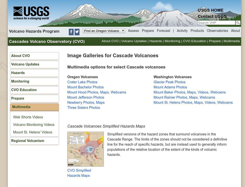
Usgs: Cascade Range Volcanoes
At this site from USGS you can view pictures and resources on the volcanoes located in the Cascade Mountain Range. Experience their beauty and splendor as you learn more about these volcanic mountains.
US Geological Survey
U.s. Geological: Cascade Range Volcanoes and Volcanics
This site, which is provided for by the U.S. Geological Survey, describes the volcanoes in the Cascades.
Center for Educational Technologies
Nasa Classroom of the Future: Volcanoes
Use this site to discover some interesting facts about volcanoes and how they affect the earth. See some great animation and photos of volcanoes as well.
Other
Nationwide Lifts : Artisan Elevators: Volcanoes and Volcanic Glass
A mountain with a center of hot magma is called a volcano. Under the right circumstances, volcanoes erupt and release a flow of lava. When this happens, they are as beautiful as they are scary and dangerous. Although most people...
Curated OER
Etc: Maps Etc: The Peaks and Volcanoes Which Form the Andes, 1873
An orographic sketch map from 1873 of the Andes mountain chains. The map divides the system into the Andes of Columbia and Ecuador, Andes of Bolivia and Peru, Andes of Chile, and Andes of Patagonia. The map is keyed to show the prominent...
Other
Digital Library for Earth System Education: Teaching Box: Plate Tectonics
A suite of lessons focusing on finding the fossil evidence for lithospheric plate tectonics. Inquiry-based exploration of plate tectonics evidence includes fossil distribution, earthquakes, and volcanoes.
Ducksters
Ducksters: Earth Science for Kids: Volcanoes
Kids learn about the science of volcanoes including how they form mountains, lava, and magma; types such as cinder cone, composite, and shield; watch a video about volcanoes.
American Geosciences Institute
American Geosciences Institute: Dynamic Planet
Seven hands-on lessons module where students learn about our dynamic planet. These inquiry-based explorations investigate scientific models, earthquakes and seismic waves, Earth's interior, Earth movements, the lithosphere, plate...
Geographypods
Geographypods: Theme 2: Natural Environments
A rich collection of highly engaging learning modules on topics related to the natural environment. Covers four main areas - plate tectonics, forms and processes, weather and climate, and rainforest and desert. Within each of these,...
CPALMS
Florida State University Cpalms: Florida Students: Mantle Convection and Earth's Features
A resource to help understand that the movement of the Earth's tectonic plates is caused by convection. The plates' movements cause geologic features on the Earth's surface.
Curated OER
View of Manua Loa Volcano, Hawaii, Looking Wsw
Mauna Loa means long mountain, and it is the largest and most active volcano on earth. Get some good overall facts regarding this infamous volcano.
ClassFlow
Class Flow: Mountains, Volcanoes, and Earthquakes
[Free Registration/Login Required] This flipchart introduces students to the formation of mountains, volcanoes, and earthquakes.
PBS
Pbs Teachers: Volcano Above the Clouds: Climbing Kilimanjaro
Learn about Mount Kilimanjaro and develop a travelogue to describe the distinct ecological regions of Mount Kilimanjaro.
Khan Academy
Khan Academy: Answers to Exploration Questions: Plate Tectonics
Explore answers about plate tectonics with this questions by Himalayan Mountains.
TeachEngineering
Teach Engineering: Natural Disasters
Students are introduced to our planet's structure and its dynamic system of natural forces through an examination of the natural hazards of earthquakes, volcanoes, landslides, tsunamis, floods and tornados, as well as avalanches, fires,...
NOAA
Noaa: Explorations
This resource page contains an exhaustive list of pictures and videos of sea floor structures found all over the world.
NASA
Nasa Space Science Data Archive: Photo Gallery: Venus
Photos of Venus' surface and cloud tops. Includes 3-D surface views. Thumbnail images load quickly and link to larger files for more detail.
Other
Science4 Us: Features
In the Earth's Features module, students explore mountains, volcanoes, caves, rivers and oceans and their place on Earth.
Wikimedia
Wikipedia: Pacific Ring of Fire
Wikipedia offers information on the location of the Pacific Ring of Fire, an area of frequent earthquakes and volcanic eruptions. Map included.
CK-12 Foundation
Ck 12: Second Grade Science
[Free Registration/Login may be required to access all resource tools.] This is a science text for Grade 2. Section titles include: A World of Ice and Water, Changes, Earthquakes, The Grand Canyon, Mountains, Preventing Erosion, Tidal...


