Hi, what do you want to do?
Curated OER
Educational Technology Clearinghouse: Maps Etc: Red River Below Alexandria, 1911
A map from 1911 of the diversion of the Red River below Alexandria, Louisiana, showing the old course of the river, and the location of rapids. The map also shows typical drainage features in the Red River and Mississippi River flood...
Curated OER
Etc: De Soto's March From Tampa Bay to Mississippi, 1539 1542
A map of the route of Hernando de Soto's expedition taken from Tampa Bay (1539) to the Mississippi River, first reached in 1541, and the site of his death in 1542. This map, from 1891, shows a route that has been disputed in later years.
Curated OER
Etc: French Explorations of the Mississippi, 1673 1682
Eastern section of North America, noting the areas along the Mississippi River explored by the French during the late seventeenth century.
Curated OER
Educational Technology Clearinghouse: Maps Etc: Illinois River System, 1916
A map from 1916 of the Illinois River drainage basin showing the primary and secondary tributaries from Lake Michigan to the Mississippi River.
US National Archives
Docsteach: Lewis & Clark's Expedition to the Complex West
This activity can be used as an introduction or for a closer study of the Lewis & Clark Expedition. Students will learn that the United States purchased the Louisiana Territory in 1803 and President Thomas Jefferson sent Lewis and...
Encyclopedia of Earth
Encyclopedia of Earth: Ocean Oil: Deepwater Horizon Disaster
A collection of articles on the Deepwater Horizon oil spill that happened on April 20, 2010. It was caused by an offshore explosion on an oil platform fifty miles southeast of the Mississippi River delta.
Other
Civics Resources: Worcester v. Georgia
In December 1829, President Andrew Jackson announced his Indian removal proposal in an address to the U.S. Congress. In 1830 Congress passed the Indian Removal Act, which authorized the president to grant the Indians unsettled lands west...
OpenStax
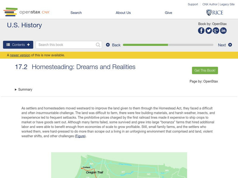
Open Stax: Homesteading: Dreams and Realities
After reading this section from a chapter on "Westward Expansion", students will be able to identify the challenges that farmers faced as they settled west of the Mississippi River and describe the unique experiences of women who...
Indiana University
Indiana University Bloomington: Earthquakes in Indiana [Pdf]
A detailed brochure with lots of information about the earthquakes that occur in Indiana. Discusses plate tectonics, how fault zones developed in the Mississippi River Valley, faults in Indiana, earthquakes that affected Indiana in the...
The Newberry Library
Newberry: Historical Geography of Transportation: Map 10: United States, 1835
Lessons K-12 examining the role of transportation systems in the development and settlement of the lands between the Appalachian Mountains and the Mississippi River.
Other
Steamboating the Rivers
A detailed site providing information on the history of steamboats and many facts on this older form of transportation. Take a virtual tour and learn about some popular steamboats of the time.
PBS
Pbs Learning Media: Atchafalaya Bay Deltas
The Mississippi Delta is disappearing because of rising sea levels and the construction of levees, yet the deltas in the Atchafalaya Bay are growing. View this video from NASA showing images collected over 31 years showing the growth of...
Discovering Lewis & Clark
Discovering Lewis & Clark: Tywappity Bottom
Features a description and history of Tywappity Bottom where Lewis and Clark arrived in November 1803.
Library of Congress
Loc: America's Story: Lewis and Clark
Take a trip with Lewis and Clark with this fascinating site. Provides several brief articles, portraits, and photos of actual historical pieces from The Library of Congress' collection.
Other
Prairie Grasslands
Describes the Prairie grasslands of the U.S and the various types of prairies.
Annenberg Foundation
Annenberg Learner: Bridging World History: Connections Across Water
Global exportation and importation increased when water routes opened up. This unit analyzes how this affected world trade as well as the spread of population, religion, and illness.
University of Groningen
American History: Outlines: Louisiana and Britain
One of Jefferson's acts doubled the area of the country. At the end of the Seven Years' War, France had ceded to Spain the territory west of the Mississippi River, with the port of New Orleans near its mouth -- a port indispensable for...
Missouri State University
Delaware Town: Removal Era
Discussion of the removal of American Indians living east of the Mississippi River beginning in the late 1700s. Initially, these removals were voluntary, resulting from treaty negotiations. In 1830, Congress passed the Indian Removal...
AdLit
Ad lit.org: Reading Discussion Guide: The Adventures of Huckleberry Finn
Arguably Mark Twain's most famous novel - indeed, one of the greatest works of American literature - The Adventures of Huckleberry Finn brings together two people from the lower rungs of society, an ill-educated boy escaping an abusive...
Texas Instruments
Texas Instruments: Jason: Mixing Soil and Water Let's Settle This?
Disappearing Wetlands: Investigate how particles settle by measuring the amount of light passing through the water as particles settle. Make connections to the process by which sediment settles out of the Mississippi River to form...
Other
Cabrillo College: Cahokia
A concise, bulleted description of Cahokia, the major trade and population center of the Mississippian Mound Builders on the banks of the Mississippi River.
Wonderville Media
Wonderville: The Space Needle
Seattle, Washington, is home to an iconic tower called the Space Needle. It is 605 feet tall and 138 feet wide. At the time it was built, it was the tallest building west of the Mississippi River. Learn about The Space Needle in this...
Pennsylvania State University
Penn State: Still More Plate Tectonics, the Great Smoky Mountains
The Great Smoky Mountain National Park of North Carolina and Tennessee includes 16 mountains over 6,000 feet (about 2,000 m) high, making this generally the highest region in North America east of the Mississippi River. Gatlinburg is a...
Other popular searches
- Mississippi River Watershed
- Mississippi River Map
- Mississippi River Worksheet
- Geography Mississippi River
- Mississippi River Towns
- Ohio River Mississippi River
- Mississippi River Basin
- Mississippi River and Delta
- Mississippi River Management
- Mississippi River Wildlife
- Mississippi River Travel
- Mississippi River Valley


