Hi, what do you want to do?
Civil War Home
Home of the American Civil War: Battle of New Madrid and Island No. 10
Find three articles and a map about the blockading of the Mississippi River by the Confederate troops and the running of that blockade by Union ironclads.
Curated OER
National Park Service: James Buchanan Eads 1820 1887 [Pdf]
A biography James Buchanan Eads (1820-1887) and the story of his attempts to tame the mighty Mississippi River with science and technology during and after the Civil War.
Other
Military History Encyclopedia on the Web: Battle of New Madrid, 13 March 1862
A good description of the Battle of New Madrid and an explanation of why the course of the Mississippi River affected the battle.
Other
Military History Encyclopedia on the Web: Naval Battle of Memphis, 6 June 1862
An interesting account of the battle between Union and Confederate gunboats which resulted in the surrender of Memphis and the opening of the Mississippi River south to Vicksburg.
iCivics
I Civics: Louisiana Purchase (1803)
In this map-based lesson, students learn the historic importance of the Mississippi River, why the U.S. was determined to maintain access, and how the United States acquired the land that made up the Louisiana Purchase.
Curated OER
Etc: Maps Etc: The Upper Mississippi River, 1911
A map from 1911 showing the old and new channels of the Mississippi at the upper rapids, near Fulton, Illinois. The map shows bluffs and river valleys indicating past river channels.
Curated OER
Wikipedia: Mississippi River
From Wikipedia, which is an online free encyclopedia, find a very comprehensive entry that includes the history, geography, navigation, major cities along the river and notable bridges.
Curated OER
Wikipedia: Mississippi River
From Wikipedia, which is an online free encyclopedia, find a very comprehensive entry that includes the history, geography, navigation, major cities along the river and notable bridges.
Curated OER
Wikipedia: Mississippi River
From Wikipedia, which is an online free encyclopedia, find a very comprehensive entry that includes the history, geography, navigation, major cities along the river and notable bridges.
Other
River Systems of the World
Find statistics about the many river systems of the world. Includes facts such as length, drainage area, cities, notable tributaries, and more. Also provides links to sites about some of the rivers.
University of Georgia
University of Georgia: The Mississippi Territory (1814)
An 1814 American map of the territory of the lower Mississippi valley; part of the larger Louisiana Purchase that President Jefferson purchased from the French in 1803.
Blackdog Media
Classic Reader: The Circus Boys on the Mississippi by Edgar B. P. Darlington
Classic Reader provides numerous classic works from famous authors. One work is Edgar B. P. Darlington's book titled The Circus Boys on the Mississippi, or Afloat with the Big Show on the Big River. Published in the early 1900s, this is...
Discovering Lewis & Clark
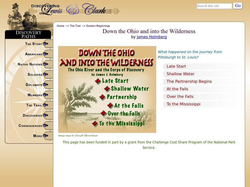
Discovering Lewis & Clark: Down the Ohio and Into the Wilderness
The expedition spent two and a half months descending the Ohio River. This journal entry describes the Corps of Discovery and their journey down that river.
Ducksters
Ducksters: Geography for Kids: World Rivers
Study the world rivers like the Nile, Amazon, Yangtze, Mississippi, Lena, Yellow, and Congo Rivers on this website.
Other
City of Joliet: Louis Jolliet
This page gives a brief biography of Louis Jolliet, the French explorer that explored the Mississippi River.
Harp Week
Cartoon of the Day: On This Day: May 13, 1882
Flooding along the Mississippi River system has been a problem for many states and presidents. Look over this political cartoon drawn by Thomas Nast and read a little history behind the problem and see why President Arthur vetoed the...
Huntington Library
Huntington Library: American Art: George Caleb Bingham: In a Quandary (1851)
A brief narrative of the content of the painting, In a Quandary, by George Caleb Bingham, which shows boatmen on the Mississippi River relaxing at a game of cards. Boatmen such as these were one of Bingham's main themes.
Discovering Lewis & Clark
Discovering Lewis & Clark: The Big Muddy Joins the Mighty Miss
Discover interesting facts about the Missouri and Mississippi Rivers during the time of Lewis and Clark through maps.
Ducksters
Ducksters: United States Geography: Rivers
Kids learn about the major rivers of the United States including the Mississippi, Missouri, Rio Grande, Colorado, and the Hudson. Geography of the US.
Curated OER
Educational Technology Clearinghouse: Maps Etc: Mississippi Valley, 1682
A facsimile of a map by Jean Baptiste Louis Franquelin (1682) of the Mississippi River Valley from the Great Lakes to the Gulf of Mexico showing the explorations of Robert LaSalle (Rene-Robert Cavelier, Sieur de la Salle) as far south as...
Curated OER
Educational Technology Clearinghouse: Maps Etc: Mississippi Valley, 1672 1673
A facsimile from the collection of Francis Parkman (1865) of an early map of the Mississippi River Valley from the Great Lakes to the Gulf of Mexico, showing the explorations of Father Jacques Marquette (1672-1673). The map shows Lac de...
Curated OER
Etc: Maps Etc: Carte Des Environs Du Mississippi, 1700
A facsimile of a map of the Mississippi Delta showing the explorations of the French Canadian Pierre Le Moyne d'Iberville in 1700. The map shows Lake Pontchartrain, Fort Biloxi, and the channels of the Mississippi River.
Curated OER
Etc: Maps Etc: The Country East of the Mississippi, 1650
A map from 1872 of the country east of the Mississippi for the year 1650, forty-seven years after the settlement of Jamestown. This map shows early commencement of European settlement and the principal Native American tribal lands east...
Curated OER
Etc: Maps Etc: Sinuosities of the Mississippi, 1885
Sinuosities of the Mississippi river.
Other popular searches
- Mississippi River Watershed
- Mississippi River Map
- Mississippi River Worksheet
- Geography Mississippi River
- Mississippi River Towns
- Ohio River Mississippi River
- Mississippi River Basin
- Mississippi River and Delta
- Mississippi River Management
- Mississippi River Wildlife
- Mississippi River Travel
- Mississippi River Valley


