Other
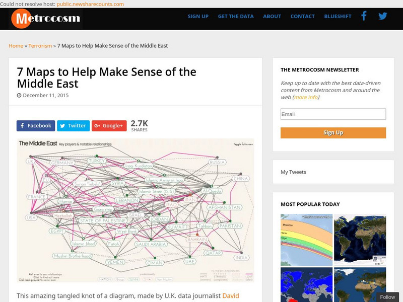
Metrocosm: 7 Maps to Help Make Sense of the Middle East
Keep up to date with the everchanging Middle East Region. The Middle East has been a tangled web of alliances since WWI. These maps attempt to make sense out of the this often confusing area. The 7 maps show the relationships among...
PBS
Wide Angle: Interactive Map: Middle East
An interactive map that shows the countries of the Middle East in 2003. Gives information such as population, government, and history about each country.
CBS
Cbs News: Middle East Countries
Discusses each country in the Middle East and how it is affected by the problems that are going on in the region. Click on the tiny map in the upper left-hand corner to access the list of countries.
Curated OER
University of Texas: Map of Southern Asia
This political map shows the countries and capitals of the Middle East and South Asia as well as other countries in Asia.
Curated OER
University of Texas: Saudi Arabia: Small Political Map
This map of Saudi Arabia is very easy to read. It shows the major cities and its location in relation to other countries in the Middle East. From the Perry-Castaneda Collection.
University of Texas at Austin
Perry Castaneda Library Map Collection: Israel
The Perry-Castaneda Library at the University of Texas provides an outstanding collection of maps of the country of Israel. Also links to maps from other online sources.
Curated OER
Middle East Map
NPR reports on the neighboring countries to Iraq in the Middle East: Jordan, Syria, Kuwait, and Saudi Arabia. How are these countries coping with the violence so close at hand? The report contains audio and a series of pictures taken in...
Other
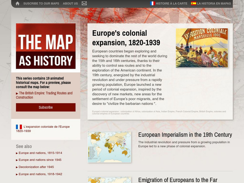
The Map as History: Europe's Colonial Expanision 1820 1939
European countries began exploring and seeking to dominate the rest of the world during the 15th and 16th centuries, thanks to their ability to control sea routes and to the discovery of the American continent. In the 19th century,...
Other
One Party States: 1945 1995: A Map and Graph
A map and table showing the countries that are controlled by one political party and the duration of their control. Map covers period from 1945 to 1995.
Curated OER
Perry Castaneda Library Map Collection: Map of Israel and Surrounding Countries
Excellent colorful map of Israel and the surrounding countries.
Curated OER
Bbc: Yemen Map
This map of Yemen shows where the country is located in the Middle East as well as the location of its capital, Sanaa.
Curated OER
Etc: Maps Etc: Sketch Map of Mid Century Africa, Circa 1850
A map of Africa around the middle of the nineteenth century showing European interests on the continent prior to the Berlin Conference of 1885, which established their territorial claims. The majority of the continent was unexplored at...
Curated OER
Etc: Settlements of the Saxons and Angles, Ad 449 626
A map of Scotland, England and Wales showing the settlements of the Saxons and Angles from the landing of Hengist and Horsa at Ebbsfleet on the shores of the Isle of Thanet (AD 449) to the Saxon Heptarchy (AD 626). "By these invasions...


