Hi, what do you want to do?
Curated OER
Colorful Islamic Headscarves in a Damascus Market
NPR reports on the neighboring countries to Iraq in the Middle East: Jordan, Syria, Kuwait, and Saudi Arabia. How are these countries coping with the violence so close at hand? The report contains audio and a series of pictures taken in...
Curated OER
Npr: Bordering on Instability
NPR reports on the neighboring countries to Iraq in the Middle East: Jordan, Syria, Kuwait, and Saudi Arabia. How are these countries coping with the violence so close at hand? The report contains audio and a series of pictures taken in...
Curated OER
Npr: Bordering on Instability
NPR reports on the neighboring countries to Iraq in the Middle East: Jordan, Syria, Kuwait, and Saudi Arabia. How are these countries coping with the violence so close at hand? The report contains audio and a series of pictures taken in...
Curated OER
Npr: Bordering on Instability
NPR reports on the neighboring countries to Iraq in the Middle East: Jordan, Syria, Kuwait, and Saudi Arabia. How are these countries coping with the violence so close at hand? The report contains audio and a series of pictures taken in...
Curated OER
Bbc: Yemen Map
This map of Yemen shows where the country is located in the Middle East as well as the location of its capital, Sanaa.
Curated OER
Science Kids: Science Images: Bahrain Flag
The national flag of Bahrain, a country in the Middle East.
Curated OER
Science Kids: Science Images: Jordan Flag
The national flag of Jordan, a country in the Middle East.
Curated OER
Science Kids: Science Images: Kuwait Flag
The national flag of Kuwait, a country in the Middle East.
Curated OER
Science Kids: Science Images: Lebanon Flag
The national flag of Lebanon, a country in Middle East.
Curated OER
Science Kids: Science Images: Oman Flag
The national flag of Oman, a country in the Middle East.
Curated OER
Science Kids: Science Images: Qatar Flag
The national flag of Qatar, a country in the Middle East that shares a border with Saudi Arabia.
Curated OER
Science Kids: Science Images: Saudi Arabia Flag
The national flag of Saudi Arabia, an oil rich country in the Middle East.
Curated OER
Science Kids: Science Images: United Arab Emirates Flag
The national flag of the United Arab Emirates, a country located in the Middle East.
Curated OER
Science Kids: Science Images: Yemen Flag
The national flag of Yemen, a country located in the Middle East.
Texas Education Agency
Texas Gateway: Ch. 18: Macroeconomic Policy Around the World: Key Terms
This is a list of key terms and definitions used in Ch. 18: Macroeconomic Policy Around the World from the Texas Gateway AP Macroeconomics online textbook.
BBC
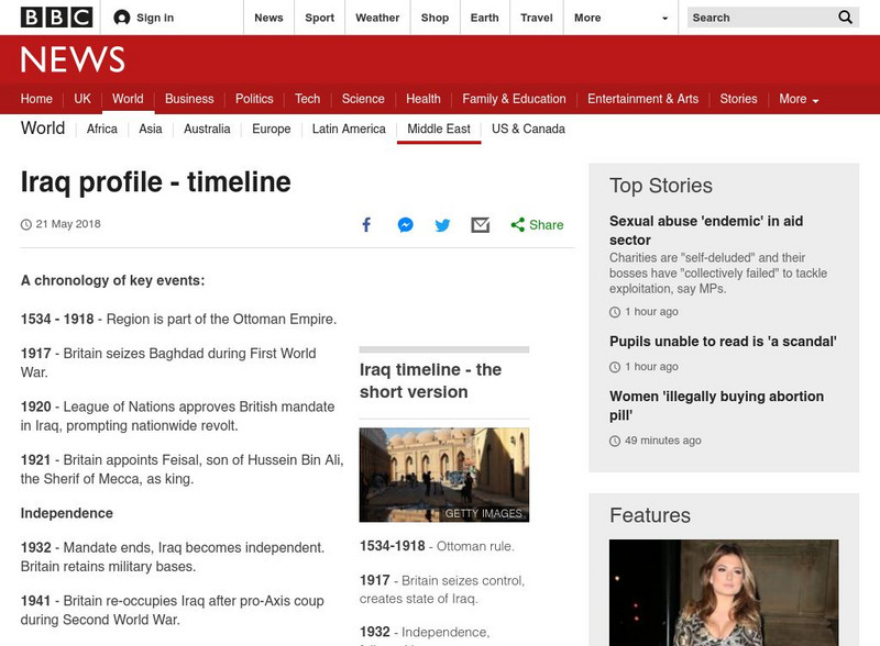
Bbc: Timeline: Iraq
In order to grasp the events that are currently taking place in a country, it is imperative to know its background. Here, the BBC, provides a succinct timeline of Iraq beginning in 1920.
Curated OER
Etc: Settlements of the Saxons and Angles, Ad 449 626
A map of Scotland, England and Wales showing the settlements of the Saxons and Angles from the landing of Hengist and Horsa at Ebbsfleet on the shores of the Isle of Thanet (AD 449) to the Saxon Heptarchy (AD 626). "By these invasions...
Curated OER
Etc: Maps Etc: Sketch Map of Mid Century Africa, Circa 1850
A map of Africa around the middle of the nineteenth century showing European interests on the continent prior to the Berlin Conference of 1885, which established their territorial claims. The majority of the continent was unexplored at...


