Hi, what do you want to do?
Ducksters
Ducksters: Aztec Empire for Kids: Tenochtitlan
On this site, students learn about Tenochtitlan, the capital city of the Aztec Empire built upon an island.
Foundation for the Advancement of Mesoamerican Studies
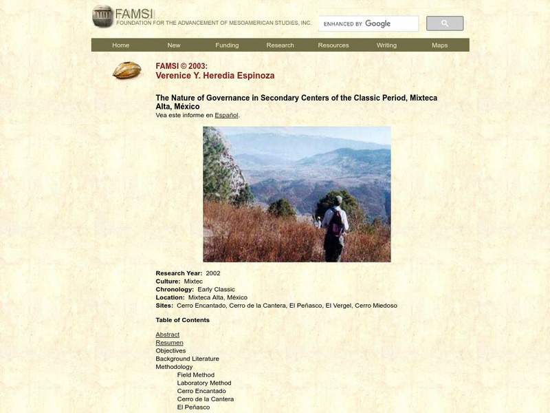
Famsi: Nature of Governance in Secondary (Mixtec) Centers
Pottery, ceramic materials, and architecture were examined to provide insights on political affiliations of Mixtex cities in Mexico.
Curated OER
Etc: Early Voyages of Spaniards in the West Indies, 1512 1580
A map of the Gulf of Mexico and Caribbean showing the voyage routes of the early European explorers in the region between 1512 and 1580. The map shows the routes of Alonzo de Ojeda to Darien Colombia, Balboa to the Pacific, Juan Ponce de...
Foundation for the Advancement of Mesoamerican Studies
Famsi: The Pomona Kingdom and Its Hinterland (2001)
Pomona Kingdom was contested by Palenque and Piedras Negras and fell under attack several times. A preliminary interpretation of findings allows for a reconstruction of how attacks might have occurred.
Curated OER
Perry Castaneda Map Collection: Latin America Map
This political map of Latin America and South America is in color and features major cities.
A&E Television
History.com: The States
Learn unique facts about each American state. You can also read a more in-depth history of each state, watch videos and play a game about all the states.
Digital History
Digital History: The Clinton Presidency
Short, but comprehensive, synopsis of Clinton's two terms as president. Included in the article is the 1992 campaign, successful and controversial legislation, and the scandals that would eventually become part of his presidential legacy.
Library of Congress
Loc: Earth as Art: A Landsat Perspective
A really cool site showing Satellite (Landsat 7) images of unique geographical and meteorological phenomena. Images show cloud formations to rainforest devastation.
Foundation for the Advancement of Mesoamerican Studies
Famsi: Gulf Coast Area
The map here shows the Gulf Coast area of Mexico and the locations of modern and ancient cities and towns, including Olmec sites.
ClassFlow
Class Flow: Texas Revolution
[Free Registration/Login Required] This flipchart gives an overview of the Texas Revolution. Using a mind map and a time line, students are visually drawn in to the events leading up to Texas gaining independence from Mexico. Links to...
Smithsonian Institution
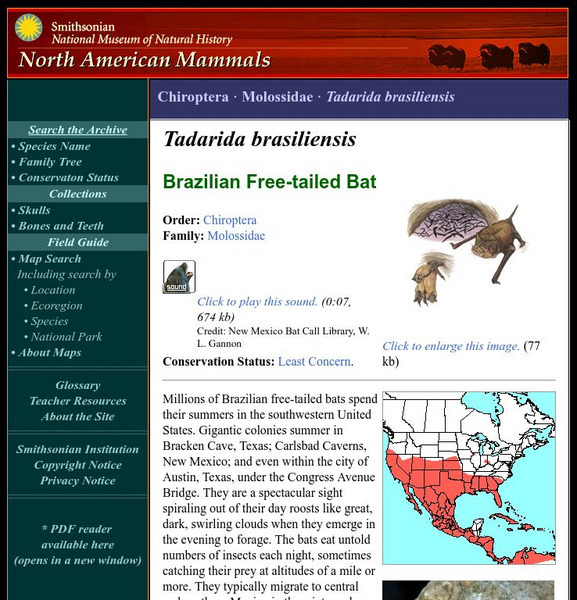
National Museum of Natural History: American Mammals: Brazilian Free Tailed Bat
Millions of Brazilian free-tailed bats spend their summers in the southwestern United States. Gigantic colonies summer in Bracken Cave, Texas; Carlsbad Caverns, New Mexico; and even within the city of Austin, Texas, under the Congress...
Curated OER
Educational Technology Clearinghouse: Maps Etc: The Mexican War, 1846 1848
A map of Mexico and southern United States showing the campaigns and battle sites of the Mexican-American War (1846-1848). The map shows the routes of Taylor, Wool, Kearny, Doniphan, and Scott, the pre-war boundaries of the United States...
Curated OER
Etc: The Mexican American War, 1846 1848
A map of Mexico and southwestern United States showing the seat of war during the Mexican-American War (1846-1848). The map shows the campaign routes of Kearney, Taylor, Doniphan, Wool, and Scott, with battle sites indicated by...
Curated OER
Educational Technology Clearinghouse: Clip Art Etc: General Benjamin F. Butler
General Butler was born in Deerfield, N. H., November 6th, 1818. At the time of President Lincoln's call for troops in April, 1861, he held the commission of brigadier general of militia. On the 17th of that month he marched to Annapolis...
Curated OER
Educational Technology Clearinghouse: Clip Art Etc: General Thomas J. Jackson
General Stonewall Jackson, born in Clarkesburg, W. Va., January 21st, 1824, died at Chancellorsville, Va., May 10th, 1863, was graduated from the United States Military Academy, in 1846. He was ordered to Mexico, became a lieutenant in...
Curated OER
Educational Technology Clearinghouse: Maps Etc: Louisiana, 1914
A map from 1914 of Louisiana showing the State capital of Baton Rouge, counties and county seats, major cities and towns, railroads, canals, lakes, rivers, the course of the Mississippi River, and coastal features of the Gulf of Mexico....
Curated OER
Educational Technology Clearinghouse: Maps Etc: Louisiana, 1920
A map from 1920 of Louisiana showing the State capital of Baton Rouge, counties and county seats, major cities and towns, railroads, canals, lakes, rivers, the course of the Mississippi River, and coastal features of the Gulf of Mexico....
Curated OER
Educational Technology Clearinghouse: Maps Etc: Texas, 1898
A map from 1898 of Texas showing the capital at Austin City, principal cities and towns, railroads, rivers, and coastal features. "Lone Star State. Origin of name not definitely known; supposed by some to have been name of Indian tribe....
Curated OER
President James L. Polk
The Virtual Museum of the City of San Francisco displays the history of the Mexican-American War, including an explanation of border changes in the California and Mexico areas. It also discusses the idea of Manifest Destiny.
Curated OER
Photograph of Zachary Taylor
The Virtual Museum of the City of San Francisco displays the history of the Mexican-American War, including an explanation of border changes in the California and Mexico areas. It also discusses the idea of Manifest Destiny.
Curated OER
Educational Technology Clearinghouse: Maps Etc: Louisiana, 1891
A map from 1891 of Louisiana showing the State capital of Baton Rouge, major cities and towns, railroads, lakes, rivers, the course of the Mississippi River, and coastal features of the Gulf of Mexico.
Curated OER
Educational Technology Clearinghouse: Maps Etc: Louisiana, 1902
A map from 1902 of Louisiana showing the State capital of Baton Rouge, major cities and towns, railroads, lakes, rivers, the course of the Mississippi River, and coastal features of the Gulf of Mexico.
Other popular searches
- Mexico City and Countryside
- Mexico City Map
- Population Mexico City
- Pollution in Mexico City
- Mexico City Class Projects
- Mexico City Earthquake
- Mexico City Bus Tour
- Environment Mexico City
- Mexico City and Pollution
- Mexico City Air Pollution
- Mexico City Air Polution


